- Yennora, New South Wales
Infobox Australian Place | type = suburb
name = Yennora
city = Sydney
state = nsw
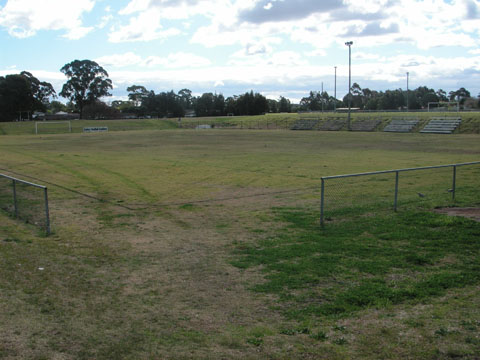
caption = Knight Park, Yennora
lga =City of Fairfield
postcode = 2161
est =
pop = 1,286
area =
propval =
stategov = Fairfield
fedgov = Blaxland
near-nw = Smithfield
near-n = Guildford
near-ne = Guildford
near-w = Fairfield
near-e = Old Guildford
near-sw = Fairfield
near-s = Fairfield East
near-se = Old Guildford
dist1 = 29
dir1 = west
location1= Sydney CBDYennora is a
suburb ofSydney in the state ofNew South Wales ,Australia . Yennora is located 29kilometres west of theSydney central business district , in the local government area of theCity of Fairfield and is part of theGreater Western Sydney region.History
Yennora is an Aboriginal word meaning "walking" or "to stroll".
Aboriginal Culture
Aboriginal people from the Cabrogal tribe, a sub-group of the Gandangara tribe, have lived in the Fairfield area for over 30,000 years.
European Settlement
European settlement began in Fairfield in the early 1800s. A siding platform was built by the NSW Railway Department in 1927 and given the name Yennora. The public school was opened in 1955 and the Wool Stores were esatblished here in 1971.
Transport
Yennora railway station is on the South railway line of the
CityRail network.Population
In 2001, Yennora had a population of 1,286 residents with this a small increase of 1.7% from 1996. It was the second smallest suburb housing 7% of the total population of Fairfield. It had the highest proportion of older residents aged 65 years and over (19.4%) in the local government area. Residents spoke a variety of languages although a significant proportion spoke Middle Eastern languages.
It had the second highest proportion of lone person households in the local government area comprising almost one third of Yennora households. It also had a high proportion of households with no car. Semis/townhouses/villas were significant with a higher proportion of public housing than the local government area.
Industry
The majority of the suburb of Yennora is dominated by an industrial zone, which includes the Yennora Distribution Centre. The Yennora Distribution Centre has a connection to the old main south railway, and is used by
QRNational for freight services running betweenBrisbane andMelbourne .References
*"The Book of Sydney Suburbs", Compiled by Frances Pollen, Angus & Robertson Publishers, 1990, Published in Australia ISBN 0-207-14495-8
External links
* [http://www.yennora-p.schools.nsw.edu.au/Index.html Yennora Public School Website]
* [http://www.fairfieldcity.nsw.gov.au Fairfield City Council]
Wikimedia Foundation. 2010.