- Øvre Eiker
-
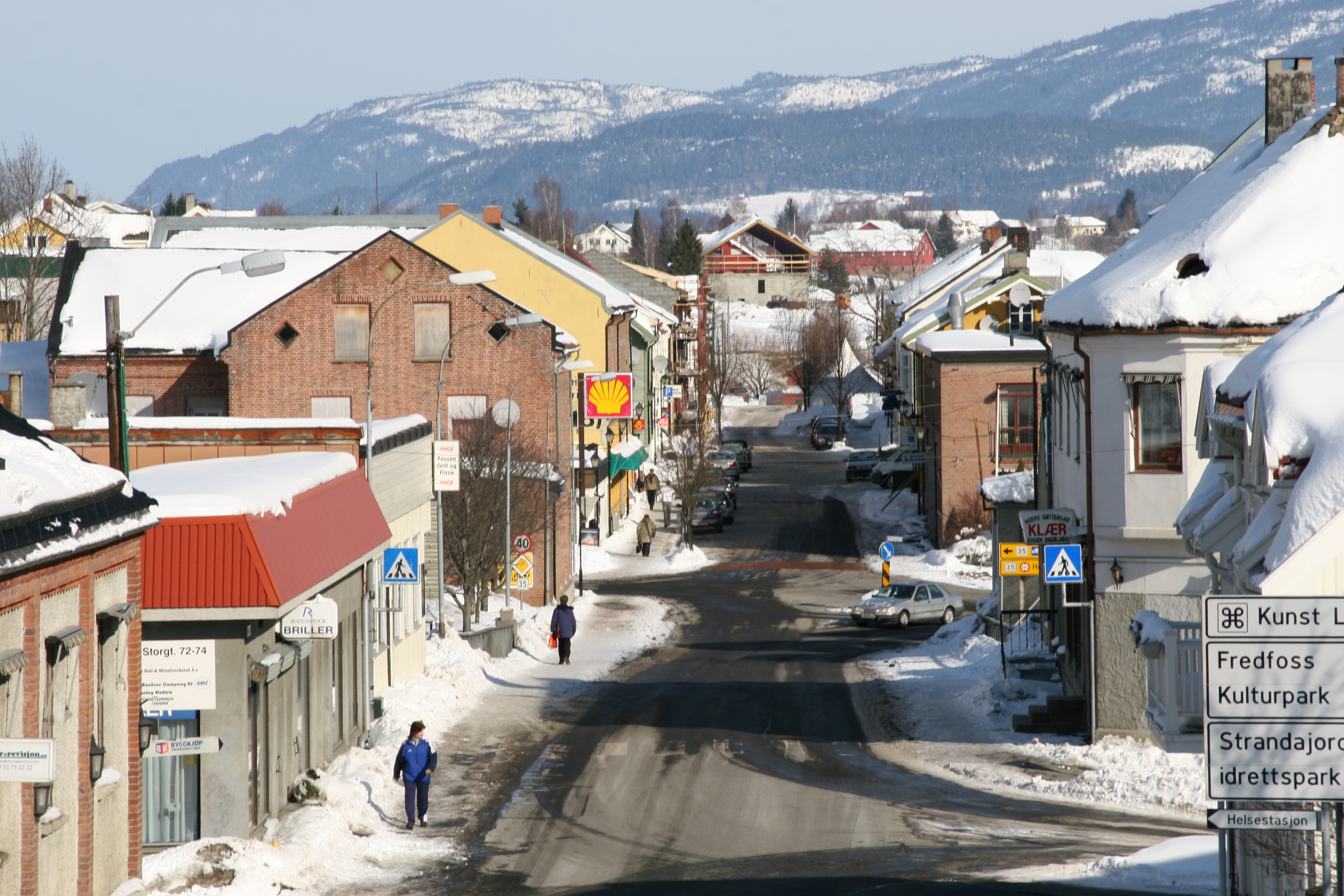
Øvre Eiker kommune — Municipality — View of the village of Vestfossen
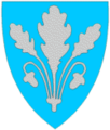
Coat of arms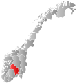
Buskerud within
NorwayØvre Eiker within Buskerud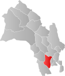
Coordinates: 59°46′19″N 9°50′10″E / 59.77194°N 9.83611°ECoordinates: 59°46′19″N 9°50′10″E / 59.77194°N 9.83611°E Country Norway County Buskerud District Eiker Administrative centre Hokksund Government – Mayor (2009) Ann Sire Fjerdingstad (H) Area – Total 457 km2 (176.4 sq mi) – Land 418 km2 (161.4 sq mi) Area rank 223 in Norway Population (2005) – Total 15,633 – Rank 62 in Norway – Density 37/km2 (95.8/sq mi) – Change (10 years) 4.3 % Demonym Eikværing[1] Time zone CET (UTC+1) – Summer (DST) CEST (UTC+2) ISO 3166 code NO-0624 Official language form Bokmål Website www.ovre-eiker.kommune.no Data from Statistics Norway Øvre Eiker is a municipality in Buskerud county, Norway. It is part of the traditional region of Eiker. The administrative centre of the municipality is the village of Hokksund. The old municipality of Eiker was divided into Øvre Eiker and Nedre Eiker on 1 July 1885.
Contents
General information
Name
The Old Norse form of the name was Eikjar. The name is the plural form of eiki which means "oak wood". The meaning of Øvre Eiker is "(the) upper (part of) Eiker". (The municipality of Eiker was divided in 1885.)
Coat-of-arms
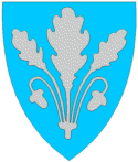
The coat-of-arms is from modern times. They were granted on 24 October 1981. The arms show three silver oak leaves and two acorns on a blue background. The oak is a canting element, since Eik means oak in the Norwegian language.[2]
(See also coat-of-arms of Eigersund, Nedre Eiker, Songdalen and Tingvoll)
Geography
The municipality is located in the southern part of Buskerud county and is bordered by the municipalities of Kongsberg, Flesberg, Sigdal, Modum, Lier, Nedre Eiker, and Hof.
The administrative center of Hokksund is the largest town in this municipality, with about 8,000 inhabitants. The remaining 7,000 inhabitants live in the villages of Vestfossen, Skotselv, Ormåsen, and Darbu.
Energy
Hakavik Power Station, startpoint of 55 kV single phase AC grid for traction current.
Notable residents
- Per Olaf Lundteigen (born 1953), politician for the Centre Party
- Jonas Lie (1833–1908), novelist, poet, and playwright
- Christopher Hornsrud (1859–1960), Prime Minister of Norway
- Nikolai Eilertsen (born 1978), Norwegian bassist
International relations
Main article: List of twin towns and sister cities in NorwayTwin towns — Sister cities
The following cities are twinned with Øvre Eiker:
 Kerteminde, Region of Southern Denmark, Denmark[3]
 Lempäälä, Western Finland, Finland[4]
 Ulricehamn, Västra Götaland County, Sweden[5]
References
- ^ "Personnemningar til stadnamn i Noreg" (in Norwegian). Språkrådet. http://www.sprakrad.no/nb-no/Sprakhjelp/Rettskrivning_Ordboeker/Innbyggjarnamn/.
- ^ Norske Kommunevåpen (1990). "Nye kommunevåbener i Norden". http://www.ngw.nl/int/nor/o/ovreeike.htm. Retrieved 2009-01-10.
- ^ "Venskabsbyer". Kerteminde kommune. http://www.kerteminde.dk/Om%20kommunen/Fakta%20om%20kommunen/Venskabsbyer.aspx. Retrieved 2009-01-10. (Danish)
- ^ "Ystävyyskunnat". Lempäälä. http://www.lempaala.fi/kunta_ja_hallinto/kansainvalisyys/ystavyyskunnat/. Retrieved 2009-01-10. (Finnish)
- ^ "Föreningen Norden". Ulricehamn kommun. http://www.ulricehamn.se/ulh_templates/Information.aspx?id=5432. Retrieved 2009-01-10. (Swedish)
External links
 Media related to Øvre Eiker at Wikimedia Commons
 The Wiktionary definition of Øvre Eiker
- Municipal fact sheet from Statistics Norway
- Buskerud travel guide from Wikitravel
Municipalities of Buskerud  Categories:
- Municipalities of Buskerud
- Øvre Eiker


Wikimedia Foundation. 2010.