- Nes, Buskerud
-
Nes kommune — Municipality — Administrative centre of Nesbyen

Coat of arms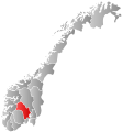
Buskerud within
NorwayNes within Buskerud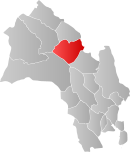
Coordinates: 60°33′30″N 9°6′4″E / 60.55833°N 9.10111°ECoordinates: 60°33′30″N 9°6′4″E / 60.55833°N 9.10111°E Country Norway County Buskerud District Hallingdal Administrative centre Nesbyen Government – Mayor (2007) Gerd Eli Berge (Sp) Area – Total 810 km2 (312.7 sq mi) – Land 773 km2 (298.5 sq mi) Area rank 135 in Norway Population (2004) – Total 3,467 – Rank 248 in Norway – Density 4/km2 (10.4/sq mi) – Change (10 years) 1.6 % Demonym Nesning[1] Time zone CET (UTC+1) – Summer (DST) CEST (UTC+2) ISO 3166 code NO-0616 Official language form Bokmål Website nes-bu.kommune.no Data from Statistics Norway Nes is a municipality in Buskerud county, Norway. It is part of the traditional region of Hallingdal. The administrative centre of the municipality is the village of Nesbyen.
The parish of Næs was established as a municipality on 1 January 1838 (see formannskapsdistrikt). The area of Flå was separated from Nes on 1 January 1905 to become a separate municipality.
Contents
General information
Name
The municipality (originally the parish) is named after the old Nes farm (Old Norse: Nes—now the village of Nesbyen), since the first church was built there. The name is identical with the word nes which means headland". Prior to 1889, the name was spelled "Næs".
Coat-of-arms
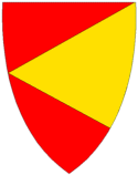
The coat-of-arms is from modern times. They were granted on 29 June 1979. The arms show a yellow-gold triangle pointing to the left on a red background. This represents a sandy peninsula or headlands (yellow triangle) formed by the confluence of two rivers: Rukkedøla and Hallingdalselva. The design is canting because this is what the name of the municipality means (see above under the name).[2]
History
Ancient routes went to Vestlandet through Valdres and Hallingdal and down Røldal to Odda. Reflecting this route, Hallingdal and its neighboring valley of Valdres were originally populated by migrants from Vestlandet and spoke a western dialect. In recognition of this, Cardinal Nicholas Breakespear, who was in Scandinavia as papal legate in 1153, included these two valleys in the diocese of Stavanger.[3]
Geography
The municipality lies in the valley and traditional district of Hallingdal. It is bordered on the north by the municipality of Gol, on the east by Sør-Aurdal, on the southeast by Flå, on the southwest by Nore og Uvdal, and to the west by Ål.
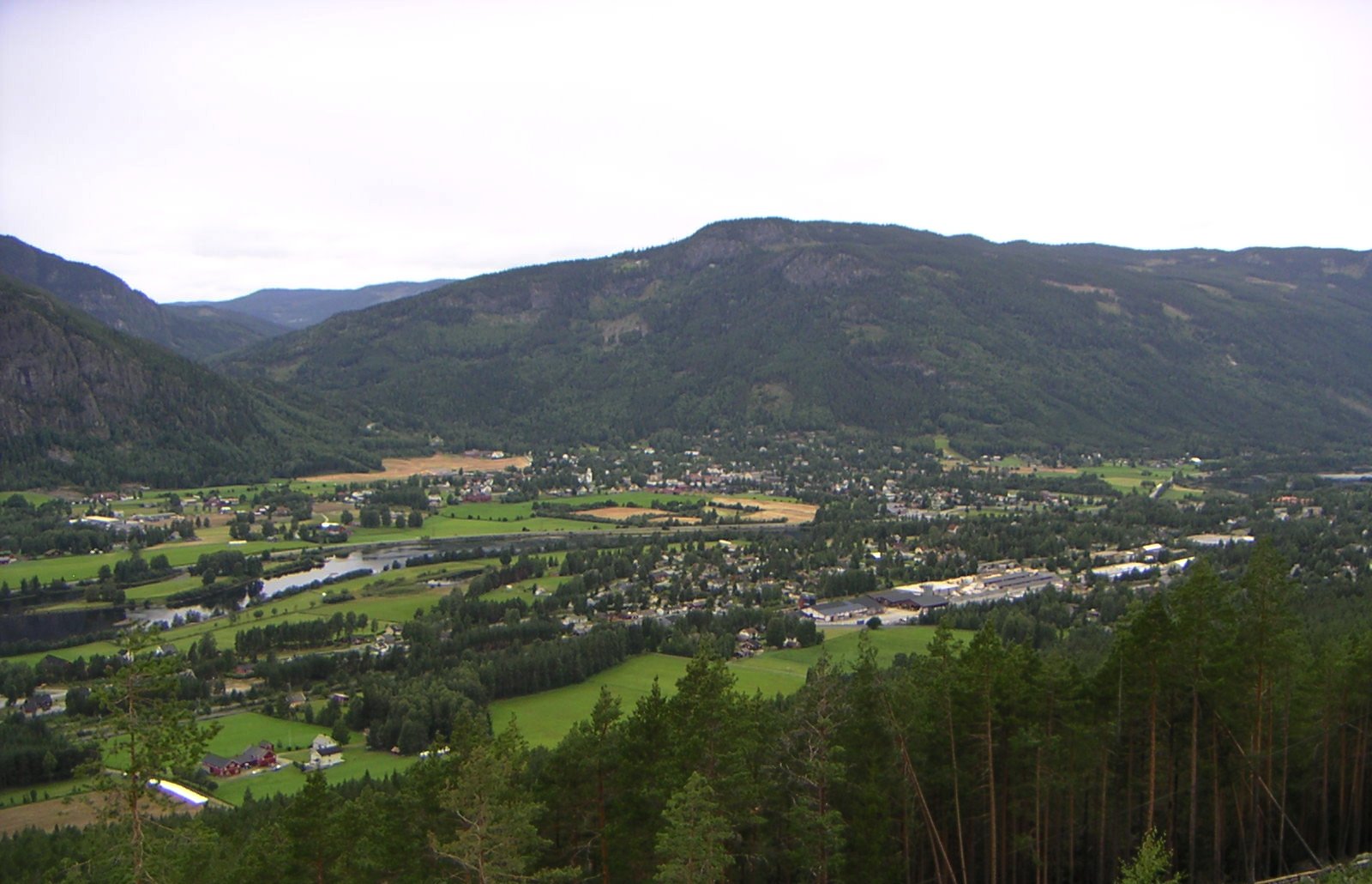
The majority of the residents live in the villages of Nesbyen, Espeset, Eidal, Sjong, Børtnes, Bromma, Svenkerud, and Liodden.
 View from Liodden Camping
Attractions

Hallingdal Museum (Hallingdal Folkemuseum) is located in Nesbyen. Hallingdal Folk Museum, founded in 1899, is one of the oldest open air museums in Norway. It has a large and unique collection of buildings and artifacts from farms in Hallingdal. Special mentions is houses like Staveloftet, built around 1340, from the Stave farm and Trøymstua from about 1645, coming from Hemsedal.
There is an old meteor crater just north of Nesbyen (about 6 kilometres north and then 4 kilometres into the woods). About 650 million years ago, a 200 to 300 metres (660 to 980 ft) meteorite struck this area. This resulted in a 5 kilometres (3.1 mi) impact crater and an enormous amount of outpouring of energy by the impact.
Notable residents
- Hans Gude (1825-1903), painter, Norwegian romantic nationalism, famous painting from the area includes Nes stave church (Nes stavkirke) (1845)
- Eilif Peterssen (1852-1928), painter
- Marcelius Haga, mayor from 1919 to 1934 and during the war
- Lars Roar Langslet, Minister of Education and Church Affairs
- Reidun Brusletten, politician for the Christian People's Party
- Olaf Øen (1925-2009), politician for the Labour Party
- Pål Gunnar Mikkelsplass, former cross country skier
References
- ^ "Personnemningar til stadnamn i Noreg" (in Norwegian). Språkrådet. http://www.sprakrad.no/nb-no/Sprakhjelp/Rettskrivning_Ordboeker/Innbyggjarnamn/.
- ^ Norske Kommunevåpen (1990). "Nye kommunevåbener i Norden". http://www.ngw.nl/int/nor/n/nes.htm. Retrieved 2009-01-10.
- ^ Stagg, Frank Noel (1956). East Norway and its Frontier. George Allen & Unwin, Ltd.
External links
- Municipal fact sheet from Statistics Norway
- Buskerud travel guide from Wikitravel
- Nesbyen tourist office
Municipalities of Buskerud Ål · Drammen · Flå · Flesberg · Gol · Hemsedal · Hol · Hole · Hurum · Kongsberg · Krødsherad · Lier · Modum · Nedre Eiker · Nes · Nore og Uvdal · Øvre Eiker · Ringerike · Rollag · Røyken · Sigdal Categories:
- Hallingdal
- Municipalities of Buskerud
- Nes, Buskerud


Wikimedia Foundation. 2010.