- Nsasa
-
Nsasa Location in Uganda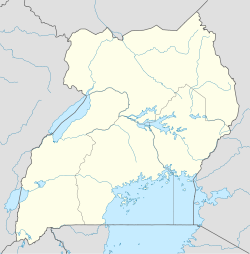
 Nsasa
Nsasa
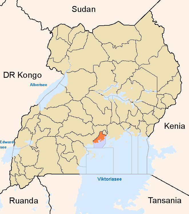
Placement on map is approximateCoordinates: 00°24′45″N 32°39′18″E / 0.4125°N 32.655°ECoordinates: 00°24′45″N 32°39′18″E / 0.4125°N 32.655°E Country  Uganda
Region Central Uganda District Wakiso District Municipality Kira, Uganda County Kyaddondo Constituency Kyaddondo East Government - Mayor Mamerito Mugerwa]] - MP Ibrahim Semujju Nganda Elevation 3,871 ft (1,180 m)
Nsasa is a neighborhood in Kira Municipality, Kyaddondo County, Wakiso District, in Central Uganda.Contents
Location
Nsasa is bordered by Kigulu to the north, Misindye, in Mukono District to the east, Namugongo to the southeast, downtown Kira to the southwest and Mulawa to the west. This location lies approximately 18 kilometres (11 mi), by road, northeast of Kampala, the capital of Uganda and the largest city in the country.[1] The coordinates of Nsasa are:0° 24' 45.00"N, 32° 39' 18.00"E (Latitude:0.41250; Longitude:32.65500).
Overview
Prior to 2001, Kigulu was a residential and farming village. In 2001, a law was passed, incorporating the village into the newly-created Kira Municipality, the second largest urban center in Uganda, with an estimated population of about 180,000 in 2011.[2] During the 21st Century Kigulu has developed into a middle-class residential neighbourhood, with planned housing developments and large private farms and ranches. Kigulu is connected to the national power grid and to the water pipeline of the National Water and Sewerage Corporation.
Landmarks
These are some of the points of interest in or near Nsasa:
- Jomayi Kigulu Housing Estate - A planned residential development by Jomayi Property Consultants, a private real estate development company. Housing estate located in neaby Kigulu.
- Jomayi Kira Housing Estate - Another planned residential development by Jomayi, in the nearby neighborhood called Kitikifumba.
- Shimoni Teacher Training College - A nation elementary teacher training college ith attached demonstration school, also in nearby Kitikifumba.
- Akright Nsasa Housing Estate - A planned residential development by Akright Projects Limited, a private real estate development company.
See also
- Kigulu
- Bulindo
- Kira Municipality
- Wakiso District
- Central Region, Uganda
External links
References
 Wakiso District
Capital: Wakiso Counties and
sub-countiesKyaddondo County · Busiro County
Parishes Towns and villages Banda · Buddo · Buloba · Entebbe · Kira · Bweyogerere · Kireka · Kirinnya · Namugongo · Kyaliwajjala · Kasangati · Katalemwa · Gayaza · Gombe · Nakweero · Matugga · Wakiso · Kakiri · Nansana · Kajjansi · Sentema · Lubowa · Lweeza · Namulonge · Naalya · Najjera · Namanve · Nsangi · Kyengera · Nabbingo · KisubiEconomy Uganda Clays Limited · Roofings Limited · Uganda Civil Aviation Authority · Bank of Africa · Barclays Bank · Centenary Bank · Crane Bank · Ecobank · Equity Bank · Fina Bank · Orient Bank · PostBank Uganda · Uganda Finance Trust Limited · Stanbic Bank · Kingstone Enterprises Limited · Ugachick Limited · Namanve Power Station · Kampala Industrial and Business Park · Chrysanthemums Uganda LimitedNotable landmarks Old Entebbe Town · Entebbe Botanical Gardens · State House Entebbe · Entebbe-Kampala Highway · Lake Victoria · Kasubi Tombs · Mandela National Stadium · Imperial Botanical Beach Hotel · Imperial Resort Beach Hotel · Imperial Golf View Hotel · Uganda Martyrs Basilica · Banda Kabaka's Palace · Kireka Kabaka's Palace · Bulago Resort Island · Ngamba Island · Lake Victoria Serena ResortTransport Entebbe International Airport · Kajjansi Airport · Namulonge Airport · Kampala-Jinja Highway · Gayaza-Ziroobwe Road · Matugga-Kapeeka Road · Kampala Northern Bypass Highway · Entebbe-Kampala HighwayEducation Uganda Martyrs High School Namugongo · Gayaza High School · King's College Budo · St. Mary's College Kisubi · Trinity College Nabbingo · African Bible College (Uganda) · Nkumba UniversityNotable people Categories:- Kira Town
- Populated places in Uganda
- Cities in the Great Rift Valley
- Central Region, Uganda
- Wakiso District

Wikimedia Foundation. 2010.