- Namanve
-
Namanve Location in Uganda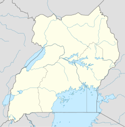
 Namanve
Coordinates: 00°19′09″N 32°41′15″E / 0.31917°N 32.6875°E Country  Uganda
District Wakiso District City Kira, Uganda County Kyaddondo Constituency Kyaddondo East Government – MP Ibrahim Semujju Nganda Elevation 3,871 ft (1,180 m) Namanve is a location in Kira Municipality, in Wakiso District, Central Uganda.
Contents
Location
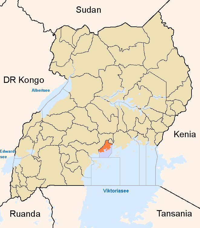
Namanve is located in Bweyogerere Ward, in southeastern Kira Municipality, in Wakiso District, Central Uganda. This location is approximately 15 kilometres (9.3 mi), by road, east of downtown Kampala, Uganda's capital and largest city.[1] Namanve is bordered by Seeta to the east, Namilyango to the southeast, Lake Victoria to the south, Kirinnya to the southwest and Bweyogerere to the west and northwest. The coordinates of Namanve are:0.3525, 32.6875 (Latitude:00 19 09N; Longitude:32 41 15E).
Population
The exact population of Namanve is not known at this time.
Points of interest
The following points of interesr are located in Namanve of close to its borders
- The Kampala-Jinja Highway - The road passes through Namanve in an East-West direction, dividing it into North Namanve and South Namanve.
- Kampala Industrial and Business Park - A 894 acres (362 ha) development to house factories and other industries, located in South Namanve.
- Namanve Coca-Cola Bottling Plant - One of the two bottling plants in Uganda owned by Coca-cola International, located in North Namanve
- Namanve Power Station - Owned by Jacobsen Electro, the 50MW thermal power station is located in Namanve Industrial Park.[2]
- Rwenzori Mineral Water Bottling Company - Located in neighboring Seeta, Uganda
- Red Pepper Publishing Company - Their printing press is located in neighboring Seeta, Uganda
- Namanve Forest Reserve[3] - Most of the reserve has been demolished to pave way for Kampala Business and Industrial Park
- Namanve Railway Station - A station on the Uganda Railways System, administered by Rift Valley Railways Consortium.[4]
External links
See also
- Bweyogerere
- Kireka
- Seeta, Uganda
- Kira Municipality
- Wakiso District
- Central Region, Uganda
References
 Wakiso DistrictCapital: Wakiso
Counties and
sub-countiesKyaddondo County · Busiro County
Parishes Towns and villages Banda · Buddo · Buloba · Entebbe · Kira · Bweyogerere · Kireka · Kirinnya · Namugongo · Kyaliwajjala · Kasangati · Katalemwa · Gayaza · Gombe · Nakweero · Matugga · Wakiso · Kakiri · Nansana · Kajjansi · Sentema · Lubowa · Lweeza · Namulonge · Naalya · Najjera · Namanve · Nsangi · Kyengera · Nabbingo · KisubiEconomy Uganda Clays Limited · Roofings Limited · Uganda Civil Aviation Authority · Bank of Africa · Barclays Bank · Centenary Bank · Crane Bank · Ecobank · Equity Bank · Fina Bank · Orient Bank · PostBank Uganda · Uganda Finance Trust Limited · Stanbic Bank · Kingstone Enterprises Limited · Ugachick Limited · Namanve Power Station · Kampala Industrial and Business Park · Chrysanthemums Uganda LimitedNotable landmarks Old Entebbe Town · Entebbe Botanical Gardens · State House Entebbe · Entebbe-Kampala Highway · Lake Victoria · Kasubi Tombs · Mandela National Stadium · Imperial Botanical Beach Hotel · Imperial Resort Beach Hotel · Imperial Golf View Hotel · Uganda Martyrs Basilica · Banda Kabaka's Palace · Kireka Kabaka's Palace · Bulago Resort Island · Ngamba Island · Lake Victoria Serena ResortTransport Entebbe International Airport · Kajjansi Airport · Namulonge Airport · Kampala-Jinja Highway · Gayaza-Ziroobwe Road · Matugga-Kapeeka Road · Kampala Northern Bypass Highway · Entebbe-Kampala HighwayEducation Uganda Martyrs High School Namugongo · Gayaza High School · King's College Budo · St. Mary's College Kisubi · Trinity College Nabbingo · African Bible College (Uganda) · Nkumba UniversityNotable people Categories:- Populated places in Uganda
- Cities in the Great Rift Valley
- Central Region, Uganda
- Wakiso District

Wikimedia Foundation. 2010.