- Najjera
-
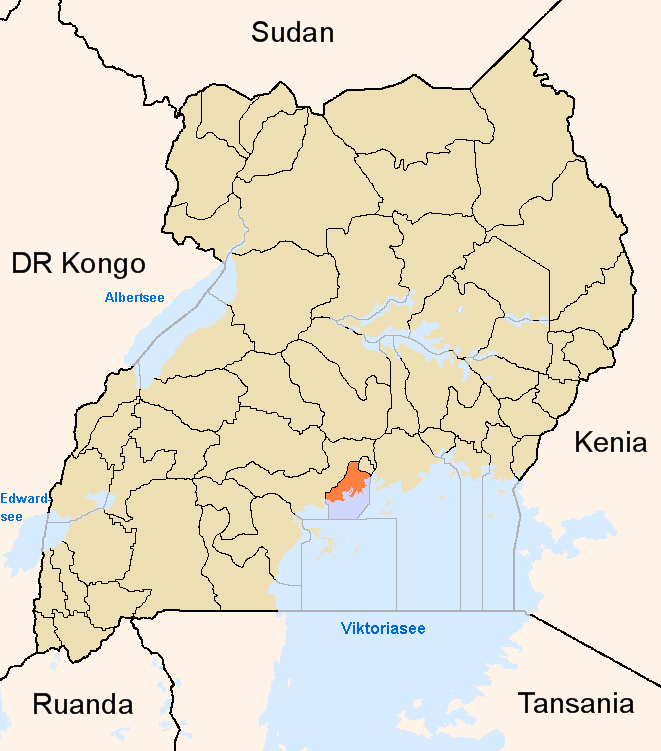
Najjera Location in Uganda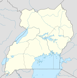
 Najjera
Coordinates: 00°22′48″N 32°37′30″E / 0.38°N 32.625°E Country  Uganda
Region Central Uganda District Wakiso District Municipality Kira Municipality Government - Mayor Elevation 3,937 ft (1,200 m) Najjera, sometimes spelled as Najjeera is a location in Kira Municipality, Wakiso District, Central Uganda.[1]
Contents
Location
Najjeera is a component of Kira Municipality, the second largest municipality in Uganda.[2] The location lies adjacent to Nakawa Division, one of the five administrative divisions of Kampala, the capital of Uganda and the largest city in that country.
Downtown Kira lies to the north and east, Ntinda, to the south, Kigoowa to the southwest, Kulambiro to the west and Komamboga to the northwest.[3] This location lies approximately 10 kilometres (6.2 mi), by road, northeast of the central business district of Kampala.[4] The coordinates of Najjera are:+0° 22' 48.00"N, +32° 37' 30.00"E (Latitude:0.380000; Longitude:32.625000).
Overview
Najjera is a bedroom community for the city of Kampala. Lying between the central business districts Uganda's two largest metropolitan areas (Kampala and Kira), it is a rapidly growing area with upscale housing units and serveral apartment complexes under construction.
Population
As of June 2011[update], the exact population of Najjera is not publicly know,.
Points of interest
The following points of interest can be found in or near Najjera:
- Najjera Progressive School - A privete school, grades K - P7[5]
- Najjeera High School - A private mixed boarding high school (S1 -S4)[6]
- Triangle Tavern - A private establishment for relaxation and recreation[7]
- Esella Country Hotel - A private hospitality establishment[8]
- The Kampala Northern Bypass Highway - The highway passes to the immediate south of the neighborhood, sepatating it from Ntinda, a Kampala suburb
External links
See also
- Kira Municipality
- Ntinda
- Kampala Northern Bypass Highway
- Wakiso District
- Central Region, Uganda
References
- ^ Najjera Lies In Wakiso District
- ^ Twenty Five Largest Ugandan Cities By Population
- ^ Location of Najjera At Google Maps
- ^ Map Showing Kampala And Najjera With Distance Marker
- ^ Najjera Progressive School Opens Computer Lab
- ^ Dormitory At School Gutted By Fire
- ^ Trangle Tavern Is Located In Najjera
- ^ Esella Country Hotel Is Located In Najjera
 Wakiso District
Capital: Wakiso Counties and
sub-countiesKyaddondo County · Busiro County
Parishes Towns and villages Banda · Buddo · Buloba · Entebbe · Kira · Bweyogerere · Kireka · Kirinnya · Namugongo · Kyaliwajjala · Kasangati · Katalemwa · Gayaza · Gombe · Nakweero · Matugga · Wakiso · Kakiri · Nansana · Kajjansi · Sentema · Lubowa · Lweeza · Namulonge · Naalya · Najjera · Namanve · Nsangi · Kyengera · Nabbingo · KisubiEconomy Uganda Clays Limited · Roofings Limited · Uganda Civil Aviation Authority · Bank of Africa · Barclays Bank · Centenary Bank · Crane Bank · Ecobank · Equity Bank · Fina Bank · Orient Bank · PostBank Uganda · Uganda Finance Trust Limited · Stanbic Bank · Kingstone Enterprises Limited · Ugachick Limited · Namanve Power Station · Kampala Industrial and Business Park · Chrysanthemums Uganda LimitedNotable landmarks Old Entebbe Town · Entebbe Botanical Gardens · State House Entebbe · Entebbe-Kampala Highway · Lake Victoria · Kasubi Tombs · Mandela National Stadium · Imperial Botanical Beach Hotel · Imperial Resort Beach Hotel · Imperial Golf View Hotel · Uganda Martyrs Basilica · Banda Kabaka's Palace · Kireka Kabaka's Palace · Bulago Resort Island · Ngamba Island · Lake Victoria Serena ResortTransport Entebbe International Airport · Kajjansi Airport · Namulonge Airport · Kampala-Jinja Highway · Gayaza-Ziroobwe Road · Matugga-Kapeeka Road · Kampala Northern Bypass Highway · Entebbe-Kampala HighwayEducation Uganda Martyrs High School Namugongo · Gayaza High School · King's College Budo · St. Mary's College Kisubi · Trinity College Nabbingo · African Bible College (Uganda) · Nkumba UniversityNotable people Categories:- Populated places in Uganda
- Wakiso District
- Central Region, Uganda

Wikimedia Foundation. 2010.