- Namulonge
-
Namulonge Location in Uganda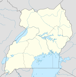
 Namulonge
Coordinates: 00°31′30″N 32°36′54″E / 0.525°N 32.615°E Country  Uganda
Region Central Uganda District Wakiso District County Kyaddondo Constituency Kyaddondo North Elevation 3,806 ft (1,160 m) Namulonge is a location in Central Uganda.
Contents
Location
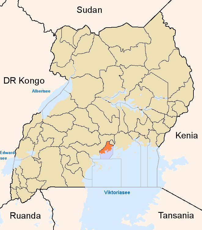
Namulonge is located in North Kyaddondo Constituency, Kyaddondo County, Wakiso District, in Central Uganda. Its location lies approximately 10 kilometres (6.2 mi), by road, north of Gayaza.[1] This location is approximately 30 kilometres (19 mi), by road, northeast of Kampala, Uganda's capital city.[2] The coordinates of Namulonge are:00 31 30N, 32 36 54E (Latitude:0.5250; Longitude:32.6150).
Overview
Namulonge is a small town where the main employer is the National Crops Resources Research Institute (NACRRI), a public agricultural research institution. A civilian airport, Namulonge Airport, belonging to Namulonge Agronometry Station is located there. There is a golf course in town.
Population
The exact population of Namulonge is not known, as of January 2010.
Landmarks
The landmarks within Namulonge or close to her borders include:
- The National Crop Research Institute (NACRI)
- Namulonge Agronometry Station - A government-owned meteorological station
- Mary Louise Sumkins Memorial Golf Course - A private golf course
- Namulonge Airport - A small civilian airport belonging to Namulonge Agronometry Station
See also
- Namulonge Airport
- Gayaza
- Wakiso District
- Central Region, Uganda
References
 Wakiso District
Capital: Wakiso Counties and
sub-countiesKyaddondo County · Busiro County
Parishes Towns and villages Banda · Buddo · Buloba · Entebbe · Kira · Bweyogerere · Kireka · Kirinnya · Namugongo · Kyaliwajjala · Kasangati · Katalemwa · Gayaza · Gombe · Nakweero · Matugga · Wakiso · Kakiri · Nansana · Kajjansi · Sentema · Lubowa · Lweeza · Namulonge · Naalya · Najjera · Namanve · Nsangi · Kyengera · Nabbingo · KisubiEconomy Uganda Clays Limited · Roofings Limited · Uganda Civil Aviation Authority · Bank of Africa · Barclays Bank · Centenary Bank · Crane Bank · Ecobank · Equity Bank · Fina Bank · Orient Bank · PostBank Uganda · Uganda Finance Trust Limited · Stanbic Bank · Kingstone Enterprises Limited · Ugachick Limited · Namanve Power Station · Kampala Industrial and Business Park · Chrysanthemums Uganda LimitedNotable landmarks Old Entebbe Town · Entebbe Botanical Gardens · State House Entebbe · Entebbe-Kampala Highway · Lake Victoria · Kasubi Tombs · Mandela National Stadium · Imperial Botanical Beach Hotel · Imperial Resort Beach Hotel · Imperial Golf View Hotel · Uganda Martyrs Basilica · Banda Kabaka's Palace · Kireka Kabaka's Palace · Bulago Resort Island · Ngamba Island · Lake Victoria Serena ResortTransport Entebbe International Airport · Kajjansi Airport · Namulonge Airport · Kampala-Jinja Highway · Gayaza-Ziroobwe Road · Matugga-Kapeeka Road · Kampala Northern Bypass Highway · Entebbe-Kampala HighwayEducation Uganda Martyrs High School Namugongo · Gayaza High School · King's College Budo · St. Mary's College Kisubi · Trinity College Nabbingo · African Bible College (Uganda) · Nkumba UniversityNotable people Categories:- Populated places in Uganda
- Cities in the Great Rift Valley
- Wakiso District
- Central Region, Uganda

Wikimedia Foundation. 2010.