- North Palatine Uplands
-
The North Palatine Uplands (German: Nordpfälzer Bergland), sometimes incorrectly shortened to Palatine Uplands (Pfälzer Bergland), is a landscape unit in the German state of Rhineland-Palatinate and belongs largely to the Palatinate region.
Contents
Location and name
The North Palatine Uplands lie – roughly stated – between St. Wendel in the state of Saarland to the west and three towns belonging to Rhineland-Palatinate: Alzey to the east, Kaiserslautern to the south and Bad Kreuznach to the north, although these towns are not actually within the region itself. The North Palatine Uplands thus links the landscapes of the Palatine Forest, Saar-Hunsrück Nature Park, Naheland and Rheinhessen.
To the northwest its boundary with Naheland is not always clear. A rough guide is the heavily folded ridge north of the Glan river with a height different of as much as 300 metres in place.
The North Palatine Uplands fall mainly within the districts of Kusel and Donnersbergkreis. To a lesser extent it also falls within parts of Kaiserslautern, St. Wendel, Birkenfeld and Bad Kreuznach.
The North Palatine Uplands is also referred to locally as the "Old World" (German: alte Welt or in Palatinate German: die alt Welt or bucklige Welt).[1] However sometimes the term alte Welt just refers to a strip of land on the border of the districts of Kusel and Kaiserslautern, which is roughly demarcated by the 420, 270 and 48 federal highways and the A 6 and A 63 motorways. Depending on how the region is defined, its largest village is either Nußbach or Obermoschel.
Geography
Hills
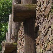 Celtic rampart on the Donnersberg
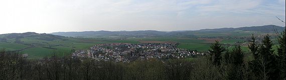
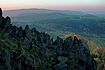
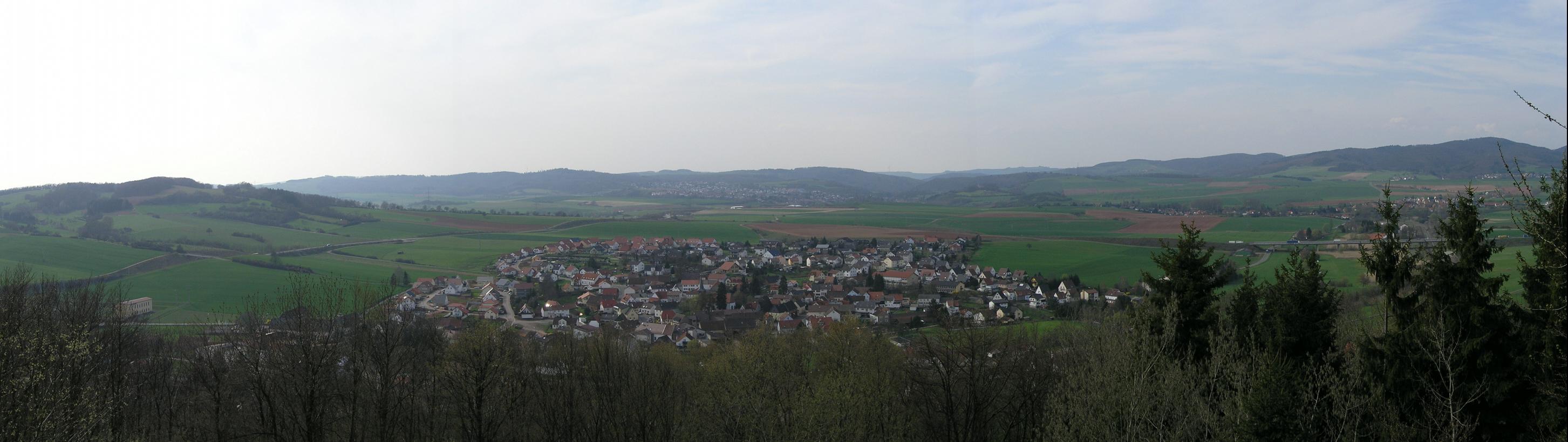
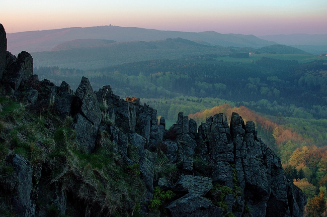
The North Palatine Uplands is characterised by numerous hills and valleys which lend the area sharp variations in height from about 200 to over 600 m above sea level. The highest elevation is the Donnersberg which, at 687 m is also the highest mountain in the Palatinate. Other lofty hills include the:
- Königsberg (586 m)
- Potzberg (562 m)
- Selberg (546 m)
- Herrmannsberg (536 m)
- Bornberg (520 m)
Rivers
Important rivers in the west and north of the range are the 90 km long Glan and the 57 km long Alsenz. The 116 km long Nahe, into which the other two discharge, is no longer included in this region. The area of the Donnersberg is drained towards the east by the 43 km long Pfrimm, which itself rises in the northern Palatine Forest, and the 61 km long Selz. Both flow into the Upper Rhine.
Settlement
The region is very rural in character and has no towns with more than 10,000 inhabitants. Important places are the county towns of Kirchheimbolanden and Kusel, and the collective municipalities of Alsenz, Altenglan, Lauterecken, Meisenheim, Rockenhausen, Winnweiler and Wolfstein.
Transportation
Roads
Motorways
Federal roads
- B 40 (Kaiserslautern–Alzey)
- B 48 (Winnweiler–Bad Kreuznach)
- B 270 (Kaiserslautern–Lauterecken)
- B 420 (Ottweiler–Bad Kreuznach)
- B 423 (Waldmohr–Altenglan)
Railways
- Glan Valley Railway
- Lauter Valley Railway
- Alsenz Valley Railway
- Zeller Valley Railway
- Donnersberg Railway
External links
References
Arnsberg Forest | Bavarian Forest | Black Forest | Bohemian Forest | Ebbegebirge | Eggegebirge | Eifel | Elbe Sandstone Mountains | Elstergebirge | Fichtelgebirge | Franconian Jura | Franconian Forest | Gladenbach Uplands | Habichtswald | Harz | Hoher Meißner | Hunsrück | Kaiserstuhl | Kellerwald | Kaufungen Forest | Knüll | Kyffhäuser | Lusatian Mountains | Lennegebirge | Lippe Uplands | North Palatine Uplands | Odenwald | Ore Mountains | Palatine Forest | Rhön | Rothaargebirge | Saalhausen Hills | Swabian Jura | Siebengebirge | Solling | Spessart | Taunus | Teutoburg Forest | Thuringian Highland | Thuringian Forest | Upper Palatine Forest | Vogelsberg | Weser Uplands | Wesergebirge | Westerwald | Wiehen Hills | Zittau Hills
 Categories:
- Central Uplands
- Geography of Rhineland-Palatinate

Wikimedia Foundation. 2010.