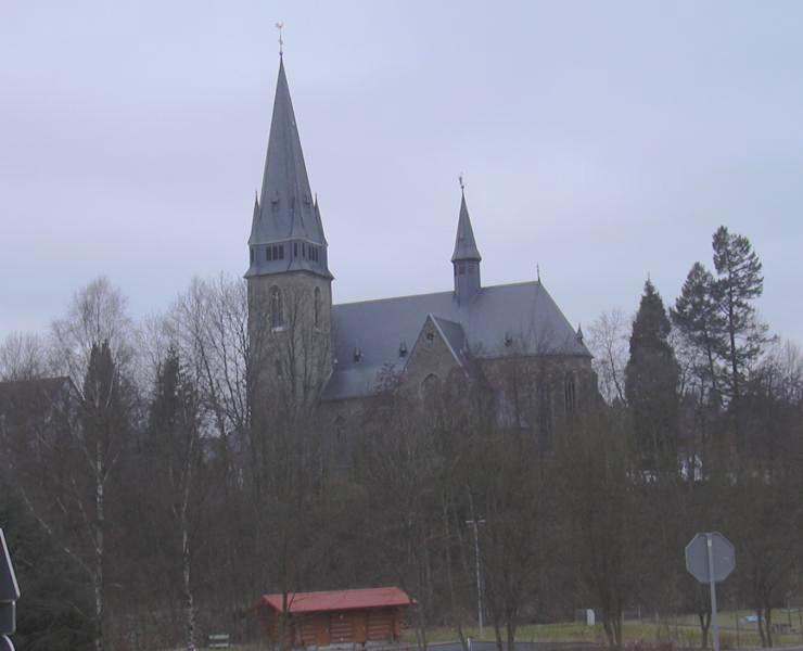
- Nonnweiler
-
Nonnweiler 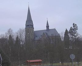


 NonnweilerLocation of Nonnweiler within Sankt Wendel district
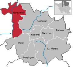

Coordinates 49°37′N 6°57′E / 49.61667°N 6.95°ECoordinates: 49°37′N 6°57′E / 49.61667°N 6.95°E Administration Country Germany State Saarland District Sankt Wendel Local subdivisions 8 Mayor Hans-Uwe Schneider (CDU) Basic statistics Area 66.71 km2 (25.76 sq mi) Elevation 414 m (1358 ft) Population 8,901 (31 December 2010)[1] - Density 133 /km2 (346 /sq mi) Other information Time zone CET/CEST (UTC+1/+2) Licence plate WND Postal codes 66616–66620 Area code 06873 Website www.nonnweiler.de Nonnweiler is a municipality in the district of Sankt Wendel, in Saarland, Germany.
Overview
It is situated approx. 20 km northwest of Sankt Wendel, and 30 km southeast of Trier.
The village is well known for the "Celtic circular wall of Otzenhausen". A huge wall (former castle) of Celtic origin.
References
- ^ "Fläche, Bevölkerung in den Gemeinden am 31.12.2010 nach Geschlecht, Einwohner je km² und Anteil an der Gesamtbevölkerung" (in German). Statistisches Amt des Saarlandes. 31 December 2010. http://www.saarland.de/dokumente/thema_statistik/staa_FB311209.pdf.
 Categories:
- Municipalities in Saarland
- Saarland geography stubs


Wikimedia Foundation. 2010.