- Mink Lake, Nipissing District
-
Mink Lake Settlement Country Canada Province Ontario Region Northeastern Ontario District Nipissing Part Nipissing, Unorganized South Elevation 329 m (1,079 ft) Coordinates 46°03′24″N 78°45′52″W / 46.05667°N 78.76444°W Timezone Eastern Time Zone (UTC-5) - summer (DST) Eastern Time Zone (UTC-4) Postal code FSA K0J Area code 705, 249 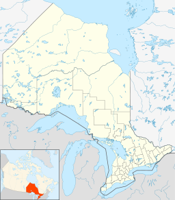
 Location of Mink Lake in Ontario
Mink Lake is an unincorporated place and former railway point in geographic Pentland Township in the Unorganized South Part of Nipissing District in northeastern Ontario, Canada.[1] Mink Lake is located within Algonquin Provincial Park at the eastern end of Mink Lake in the Amable du Fond River drainage basin.
It lies on the now abandoned Canadian National Railway Alderdale Subdivision, a section of track that was originally constructed as the Canadian Northern Railway main line, between Ascalon to the west and Daventry to the east.
References
Other map sources:
- McMurtrie, Jeffrey (2008). "Algonquin Provincial Park and the Haliburton Highlands". Wikimedia Commons. http://commons.wikimedia.org/wiki/File:Algonquin_Map_2008_-_Version_1.0_-_Smaller_rs.jpg. Retrieved 2011-08-10.
- Ministry of Transportation of Ontario (2010-01-01) (PDF). Map 9 (Map). 1 : 700,000. Official road map of Ontario. http://www.mto.gov.on.ca/english/traveller/map/images/pdf/southont/sheets/Map9.pdf. Retrieved 2011-08-10.
- Ontario Ministry of Municipal Affairs and Housing (2006). Restructured municipalities - Ontario map #5 (Map). Restructuring Maps of Ontario. http://www.mah.gov.on.ca/Asset1607.aspx. Retrieved 2011-08-10.
Categories:- Communities in Nipissing District, Ontario
- Northern Ontario geography stubs

Wikimedia Foundation. 2010.