- Minami-Uonuma, Niigata
-
Minami-Uonuma
南魚沼市— City — 
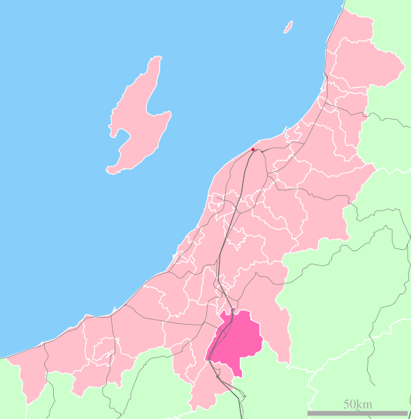
FlagLocation of Minami-Uonuma in Niigata

 Minami-Uonuma
Coordinates: 37°4′N 138°53′E / 37.067°N 138.883°ECoordinates: 37°4′N 138°53′E / 37.067°N 138.883°E Country Japan Region Chūbu Prefecture Niigata Area - Total 584.82 km2 (225.8 sq mi) Population (August 31, 2006) - Total 62,733 - Density 107.27/km2 (277.8/sq mi) Time zone Japan Standard Time (UTC+9) City symbols - Tree Kobushi magnolia - Flower Katakuri lily Address 180-1 Muika-machi, Minami-Uonuma-shi, Niigata-ken
949-6696Website City of Minamiuonuma Minami-Uonuma (南魚沼市 Minami-Uonuma-shi) is a city located in Niigata Prefecture, Japan. It has an area of 584.82 km² and a population of 62,733 (as of August 31, 2006).
Contents
History
- The city was established on November 1, 2004 in a merger of the towns Muikamachi and Yamato, both from Minami-Uonuma District, Niigata.
- On October 1, 2005, the town of Shiozawa from Minami-Uonuma District, Niigata was also merged into Minami-Uonuma.
Geography
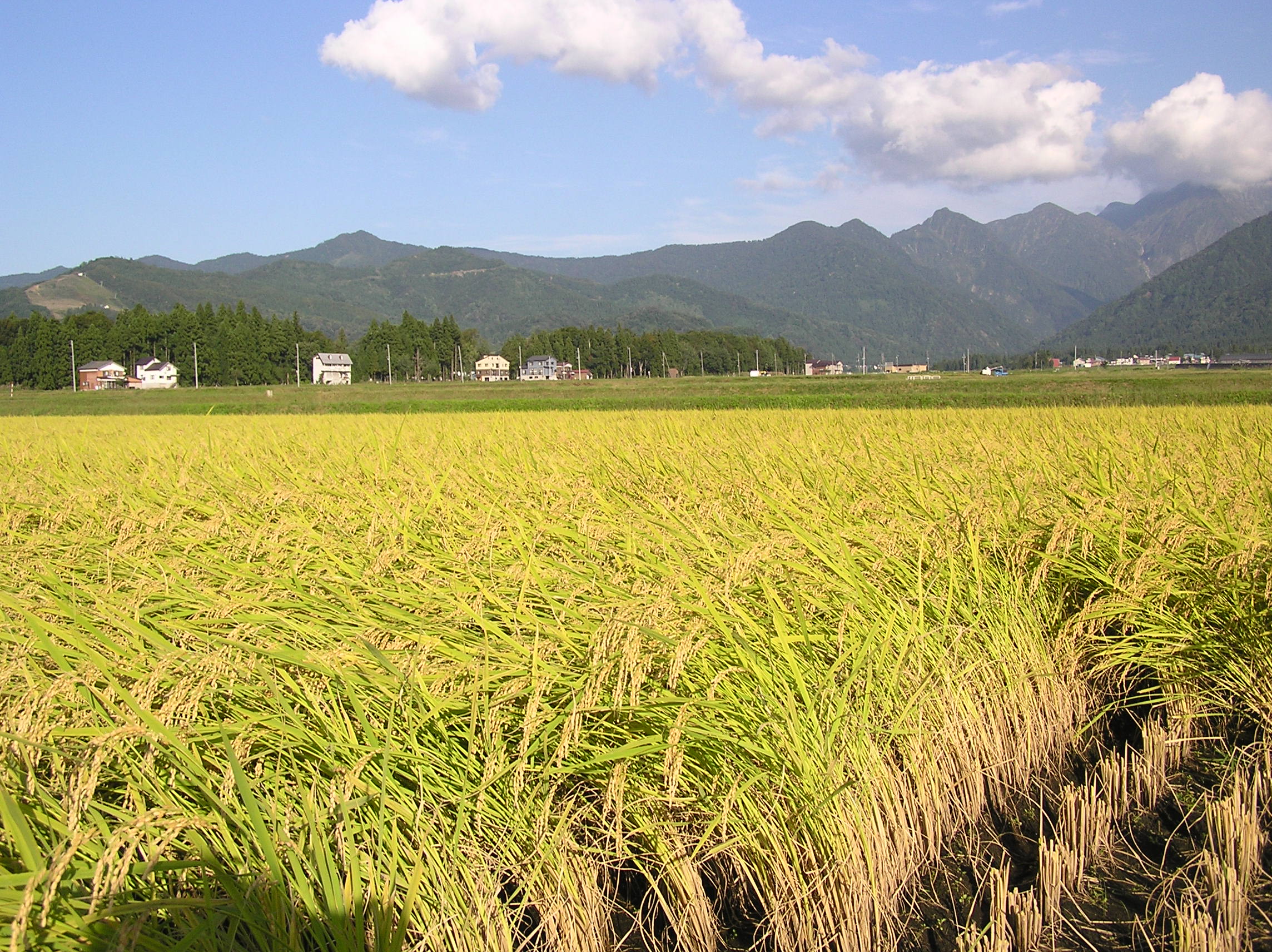
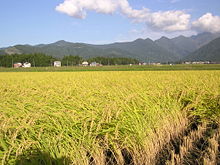 Paddy fields in Minami-Uonuma
Minami-Uonuma city is situated in a valley in a mountainous region of Niigata Prefecture known as “Snow Country” because of the heavy snowfall in winter. The city is bounded by Uonuma and the Echigo-Sanzan mountains in the north, and Yuzawa, a popular ski resort town, in the south. The Uono river flows through most of the city. The city and its surrounding areas are dotted with many onsen (Japanese hot springs) and 8 ski resorts, making it a popular destination in winter. There are also a large number of paddy fields, and popular seasonal fruit like watermelon, as this is a major rice-growing region in Japan.
Transportation
Shinkansen
The Joetsu Shinkansen has a stop at Urasa Station in Minami-Uonuma. From here, the shinkansen takes 40 minutes to reach Niigata city, the prefectural capital (100 km away), and 90 minutes to reach Tokyo, 230 km away.
Educational institutions
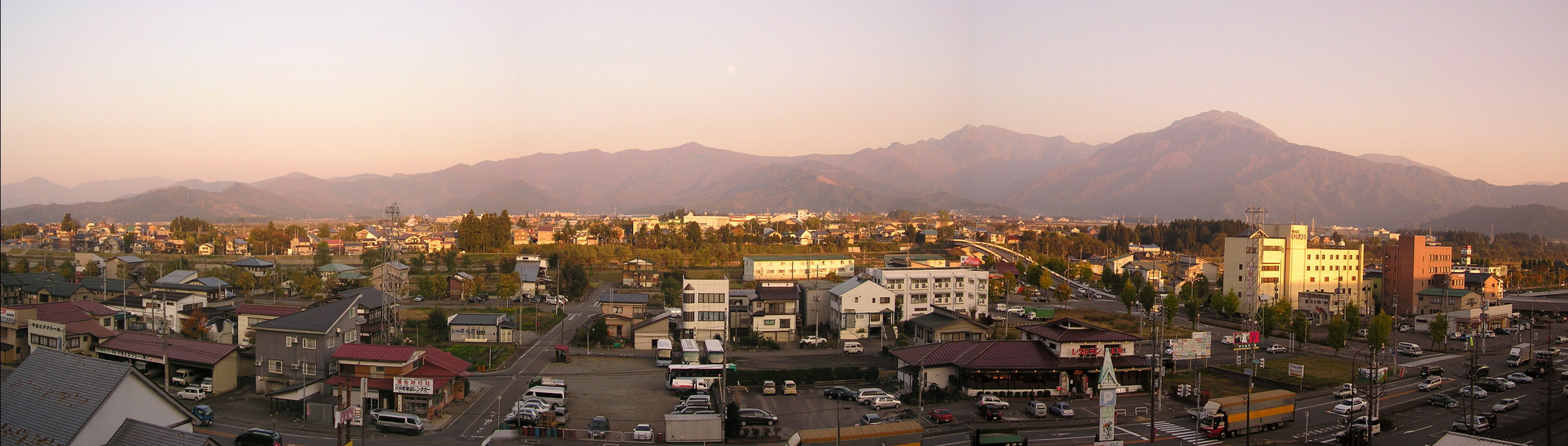
 An aerial panorama of Urasa in Minami-Uonuma city with the Echigo-Sanzan mountains in the background
External links
 Media related to Minami-Uonuma, Niigata at Wikimedia Commons
- Official website of Minami-Uonuma city (Japanese)
- Official website of Minami-Uonuma city (English)
- Official website of Minami-Uonuma city (Translated English)
- Local Association which plays active role in International University of Japan
 Niigata Prefecture
Niigata (capital city) 
Cities Districts Categories:- Cities in Niigata Prefecture
- Niigata geography stubs


Wikimedia Foundation. 2010.