- Martin State Forest
-
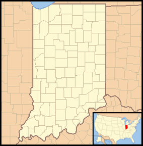
Martin State Forest, Indiana, USA IUCN Category V (Protected Landscape/Seascape)Map of the U.S. state of Indiana showing the location of Martin State Forest Location Martin County, Indiana, USA Nearest city Shoals, Indiana Coordinates 38°42′06″N 86°44′08″W / 38.70167°N 86.73556°WCoordinates: 38°42′06″N 86°44′08″W / 38.70167°N 86.73556°W Area 7,023 acres (28.42 km2) Governing body Indiana Department of Natural Resources Martin State Forest is a 7,023-acre (28.42 km2) state forest in Martin County, Indiana. The nearest city to the forest is Shoals. Martin State Forest is administered by the Indiana Department of Natural Resources.
External links
Protected Areas of Indiana National Park Service National Forests National Wildlife Refuges National Natural Landmarks State Parks Brown County • Chain O'Lakes • Charlestown • Clifty Falls • Falls of the Ohio • Fort Harrison • Harmonie • Indiana Dunes • Lincoln • McCormick's Creek • Mounds • O'Bannon Woods • Ouabache • Pokagon • Potato Creek • Prophetstown • Shades • Shakamak • Spring Mill • Summit Lake • Tippecanoe River • Turkey Run • Versailles • White River • Whitewater Memorial
State Forests and State Recreation Areas Clark • Deam Lake • Ferdinand • Greene-Sullivan • Harrison-Crawford • Jackson-Washington • Martin • Morgan-Monroe • Owen-Putnam • Pike • Salamonie River • Selmier • Starve-Hollow • Yellowwood
National Historic Landmarks National Register of Historic Places Categories:- IUCN Category V
- Protected areas of Martin County, Indiana
- Indiana state forests
- Indiana geography stubs
- Midwestern United States protected area stubs
Wikimedia Foundation. 2010.

