- Mai Kaen District
-
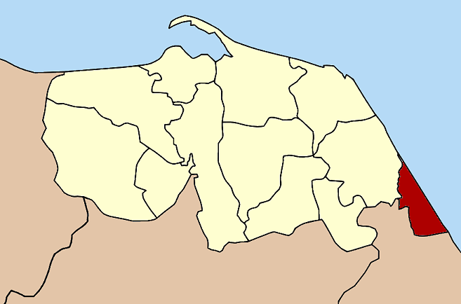
Mai Kaen
ไม้แก่น— Amphoe — Amphoe location in Pattani Province
Coordinates: 6°36′36″N 101°40′2″E / 6.61°N 101.66722°ECoordinates: 6°36′36″N 101°40′2″E / 6.61°N 101.66722°E Country  Thailand
Province Pattani Seat Sai Thong Tambon Muban Amphoe established Area - Total 55.201 km2 (21.3 sq mi) Population (2005) - Total 11,269 - Density 204.1/km2 (528.6/sq mi) Time zone THA (UTC+7) Postal code 94220 Geocode 9408 Mai Kaen (Thai: ไม้แก่น) is the southeasternmost district (Amphoe) of Pattani Province, southern Thailand.
Contents
History
The minor district (king amphoe) Mae Kaen was formed on November 15 1973 by splitting the two tambon Sai Thong and Mai Kaen from Sai Buri district.[1] On July 4 1994 it was upgraded to a full district.[2]
Geography
Neighboring districts are (from the south clockwise) Mueang Narathiwat and Bacho of Narathiwat Province and Sai Buri of Pattani Province. To the east is the Gulf of Thailand.
Administration
The district is subdivided into 4 subdistricts (tambon), which are further subdivided into 17 villages (muban). There are no municipal (thesaban) areas, and 3 Tambon administrative organizations (TAO).
No. Name Thai name Villages Inh. 1. Sai Thong ไทรทอง 5 4,369 2. Mai Kaen ไม้แก่น 4 1,822 3. Talo Kraithong ตะโละไกรทอง 4 2,331 4. Don Sai ดอนทราย 4 2,747 References
- ^ "ประกาศกระทรวงมหาดไทย เรื่อง แบ่งท้องที่อำเภอสายบุรี จังหวัดปัตตานี ตั้งเป็นกิ่งอำเภอไม้แก่น" (in Thai). Royal Gazette 90 (147 ง): 3826. November 20 1973. http://www.ratchakitcha.soc.go.th/DATA/PDF/2537/A/021/32.PDF.
- ^ "พระราชกฤษฎีกาตั้งอำเภอเปือยน้อย ... และอำเภอศรีวิไล พ.ศ. ๒๕๓๗" (in Thai). Royal Gazette 111 (21 ก): 32–35. June 3 1994. http://www.ratchakitcha.soc.go.th/DATA/PDF/2537/A/021/32.PDF.
External links
Categories:- Amphoe of Pattani
- Southern Thailand geography stubs
Wikimedia Foundation. 2010.