- Mae Lao District
-
Mae Lao
แม่ลาว— Amphoe — Amphoe location in Chiang Rai Province
Coordinates: 19°47′24″N 99°41′59″E / 19.79°N 99.69972°ECoordinates: 19°47′24″N 99°41′59″E / 19.79°N 99.69972°E Country  Thailand
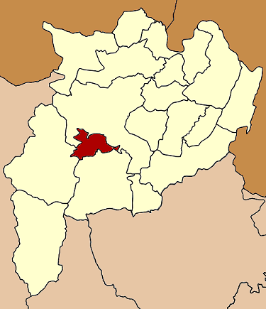
Province Chiang Rai Seat Pa Ko Dam Tambon Muban Amphoe established Area – Total 406.0 km2 (156.8 sq mi) Population (2005) – Total 30,779 – Density 75.8/km2 (196.3/sq mi) Time zone THA (UTC+7) Postal code 57250 Geocode 5716 Mae Lao (Thai: แม่ลาว; IPA: [mɛ̂ː lāːw]) is a district (amphoe) in the central part of Chiang Rai Province, northern Thailand.
Contents
History
The area of Mae Lao district was separated from Mueang Chiang Rai district and established a minor district (King Amphoe) on May 31, 1993. It originally consisted of the four tambon Dong Mada, Chom Mok Kaeo, Bua Sali and Pa Ko Dam.[1] It was upgraded to a full district on December 5, 1996.[2]
Geography
Neighboring districts are (from the west clockwise) Mae Suai, Mueang Chiang Rai and Phan of Chiang Rai Province.
Administration
The district is subdivided into 5 subdistricts (tambon), which are further subdivided into 63 villages (muban). There are two townships (thesaban tambon) - Mae Lao covers parts of tambon Dong Mada, and Pa Ko Dam parts of tambon Pa Ko Dam and Chom Mok Kaeo. There are further 5 Tambon administrative organizations (TAO).
No. Name Thai name Villages Inh. 1. Dong Mada ดงมะดะ 18 9,642 2. Chom Mok Kaeo จอมหมอกแก้ว 11 6,165 3. Bua Sali บัวสลี 12 4,389 4. Pa Ko Dam ป่าก่อดำ 13 6,227 5. Pong Phrae โป่งแพร่ 9 4,356 References
- ^ "ประกาศกระทรวงมหาดไทย เรื่อง แบ่งเขตท้องที่อำเภอเมืองเชียงราย จังหวัดเชียงราย ตั้งเป็นกิ่งอำเภอแม่ลาว" (in Thai). Royal Gazette 110 (74 ง): 19. June 8 1993. http://www.ratchakitcha.soc.go.th/DATA/PDF/2536/D/074/19.PDF.
- ^ "พระราชกฤษฎีกาตั้งอำเภอเหนือคลอง อำเภอนายายอาม อำเภอท่าตะเกียบ อำเภอขุนตาล อำเภอแม่ฟ้าหลวง อำเภอแม่ลาว อำเภอรัษฎา อำเภอพุทธมณฑล อำเภอวังน้ำเขียว อำเภอเจาะไอร้อง อำเภอชำนิ อำเภอโนนดินแดง อำเภอปางมะผ้า อำเภอสนธิ อำเภอหนองม่วง อำเภอเบญจลักษ์ อำเภอโพนนาแก้ว อำเภอบุ่งคล้า อำเภอดอนมดแดง และอำเภอลืออำนาจ พ.ศ. ๒๕๓๙" (in Thai). Royal Gazette 113 (62 ก): 5–8. November 20 1996. http://www.ratchakitcha.soc.go.th/DATA/PDF/2539/A/062/5.PDF.
External links
Mueang Chiang Rai · Wiang Chai · Chiang Khong · Thoeng · Phan · Pa Daet · Mae Chan · Chiang Saen · Mae Sai · Mae Suai · Wiang Pa Pao · Phaya Mengrai · Wiang Kaen · Khun Tan · Mae Fa Luang · Mae Lao · Wiang Chiang Rung · Doi LuangCategories:- Amphoe of Chiang Rai
- Chiang Rai Province geography stubs
Wikimedia Foundation. 2010.