- Dunmore, Falkirk
-
This article is about the village of Dunmore, Scotland. For for other uses, see Dunmore.
Coordinates: 56°05′03″N 3°46′52″W / 56.08425°N 3.781013°W
Dunmore 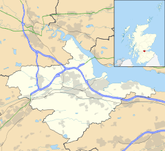
 Dunmore
Dunmore shown within the Falkirk council areaPopulation 70 (2001 census) OS grid reference NS891893 - Edinburgh 24.8 mi (39.9 km) SE - London 350 mi (560 km) SSE Council area Falkirk Lieutenancy area Stirling and Falkirk Country Scotland Sovereign state United Kingdom Post town FALKIRK Postcode district FK2 Dialling code 01324 Police Central Scotland Fire Central Scotland Ambulance Scottish EU Parliament Scotland Scottish Parliament Central Scotland Falkirk East Website falkirk.gov.uk List of places: UK • Scotland • Dunmore is a small village in the Falkirk council area of Scotland. It lies 6.5 miles (10.5 km) south east of Stirling and 5.5 miles (8.9 km) north of Falkirk. The village lies along the A905 road between Throsk and Airth on the banks of the River Forth.
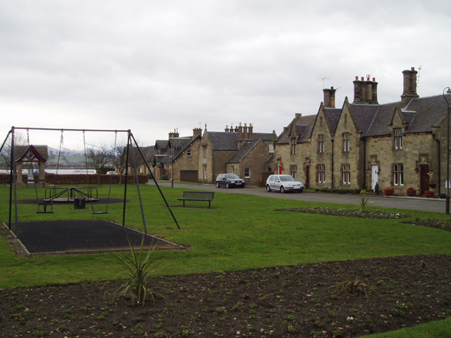
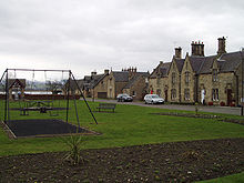 The village green at Dunmore
The population of Dunmore was recorded as 70 in the United Kingdom Census 2001, and as 79 in the census of 1991.[1]
Formerly known as Elphinstone Pans, the settlement was entirely remodelled as a planned village in the 1840s by the local landowner, the Earl of Dunmore. Dunmore is a conservation area.
The Dunmore Pineapple, an 18th century folly owned by the National Trust for Scotland, lies south of Dunmore, on the estate of the now-derelict Dunmore House.
See also
- List of places in Falkirk council area
References
Towns 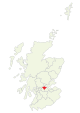
Villages Other villages Allandale · Avonbridge · Binniehill · Blackness · California · Dennyloanhead · Dunmore · Fankerton · Glensburgh · Greenhill · Haggs · Head of Muir · High Bonnybridge · Letham · Limerigg · Longcroft · Muirhouses · Reddingmuirhead · Rumford · Skinflats · South Alloa · Standburn · Stoneywood · Tamfourhill · Torwood · Wallacestone · Westquarter · WhitecrossCategories:- Villages in Falkirk council area
- Central Scotland geography stubs


Wikimedia Foundation. 2010.