- Dhungegadhi
-
Dhungegadhi
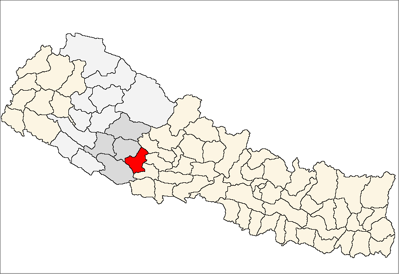
ढुङ्गेगढी— Village Development Committee — Location in Nepal
 Dhungegadhi
Coordinates: 27°58′N 82°48′E / 27.96°N 82.80°ECoordinates: 27°58′N 82°48′E / 27.96°N 82.80°E Country  Nepal
NepalRegion Mid-Western Zone Rapti Zone District Pyuthan District VDC Dhungegadhi Wards Population (2001 Census[1]) - Total 3,180 479 households Time zone Nepal Time (UTC+5:45) Dhungegadhi is a town and Village Development Committee in Pyuthan, a Middle Hills district of Rapti Zone, western Nepal.
Contents
Etymology
dhunge (Nepali: ढुङ्गे) - stony, made of stone
gadhi (Nepali: गढी) - tower, fortress
Thus: stone tower or fortressVillages in VDC[2]
Ward Lat. Lon Elev. Baddanda बडडाँडा 3 27°58'N 82°50'E 892m Bahundanda बाहुनडाँडा 27°56'N 82°47'E 790 Barapani बरापानी 27°57'N 82°46'E 950 Beldanda बेलडाँडा 27°57'N 82°49'E 750 Biringkot बिरिङकोट 27°56N 82°47'E 1,030 Budhichaur बुढीचौर 27°58'N 82°48'E 1,270 Chhabise छबिसे 27°57'N 82°49'E 770 Dansingdanda दानसिङडाँडा 27°58'N 82°49'E 1,090 Dhankot धनकोट 27°58'N 82°49'E 1,270 Dhungegadhi ढुङ्गेगढी 8 27°57'N 82°50'E 938 Dobichaur दोबीचौर 27°58'N 82°46'E 1,010 Ganaunepani गनाउनेपानी 27°57'N 82°48'E 770 Goldhara गोलधारा 27°58'N 82°46'E 1,150 Hattikhal हात्तिखाल 27°57'N 82°46'E 710 Jaspur जसपुर 27°57'N 82°48'E 970 Lugluge लुग्लुगे 27°56'N 82°47'E 730 Mandre मान्द्रे 27°59'N 82°49'E 970 Mandredhunga मान्द्रेढुङ्गा 27°59'N 82°50'E 710 Mitheamp मिठेआँप 27°57'N 82°49'E 490 Pakhapani पाखापानी 7 27°57'N 82°47'E 850 Pelimati पेलीमाटी 27°58'N 82°47'E 1,310 Rangbhang राङभाङ 27°56'N 82°48'E 850 Shrikharka श्रीखर्क 27°58'N 82°49'E 1,050 Swarakot स्वाराकोट 27°58'N 82°47'E 1,322 Tarike तारिके 27°57'N 82°47'E 970 References
- ^ "Nepal Census 2001". Nepal's Village Development Committees. Digital Himalaya. http://www.digitalhimalaya.com/collections/nepalcensus/form.php?selection=1. Retrieved 21 September 2008.
- ^ "Index of Geographical Names of Nepal, Volume IV: Mid Western Development Region, List of Settlements, Pyuthan". Government of Nepal, National Geographic Information Infrastructure Program. http://www.ngiip.gov.np/pdf/vol4pyuthan.pdf. Retrieved 2011-03-12.
External links
Arkha, Badikot, Bangesal, Baraula, Barjiwang, Belwaspur, Bhingri, Bijaya Nagar, Bijubar, Bijuli, Chuja, Dakhakuwadi Salghari, Damri, Dangwang, Dharamawati, Dharampani, Dhobaghat, Dhuwang, Dungegadi, Gothiwang, Hansapur, Jumrikanda, Khaira, Khawang, Khung, Kochiwang, Ligha, Liwang, Lung, Majhakot, Maranthana, Markawang, Narikot, Naya Gaun, Okharkot, Pakala,
Phopli, Puja, Rajbara, Ramdi, Ruspur Kot, Sari, Swargadwarikhal, Syauliwang, Tarwang, Tiram, Tusara, Wangemarkot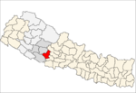 Categories:
- Populated places in Pyuthan District
- Rapti Zone geography stubs

Wikimedia Foundation. 2010.