- Devrajiya
-
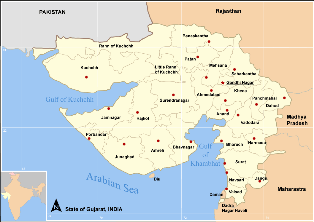
Devrajiya ( દેવરાજીયા ) — village — Coordinates 21°18′N 71°05′E / 21.30°N 71.09°ECoordinates: 21°18′N 71°05′E / 21.30°N 71.09°E Country India State Gujarat District(s) Amreli Nearest city Amreli Population
• Density
3,000 (2011[update])
• 3,000 /km2 (7,770 /sq mi)
Time zone IST (UTC+05:30) Codes-
• Pincode • 02792 • Vehicle • GJ-14
Devrajiya is a village in the Amreli district of India. Devrajiya was under the control of the Amreli state during the Navabshahi. Devrajia is a bless of god (Dev (God) + Raji (happy)). The population of the village is around 8,000. Local business mainly consists of agriculture and diamonds.
Leuva Patidar (Vekariya, rakholia, gajera, babariya, tarapara, vasoya, nakarani, gohel) is the major part of population and also includes Vaniya, Brahmin, Kumbhar, Koli, Darbar, Bharvad, Harijan, Mochi, Dhobi. Business of the people is mainly agriculture and diamonds. There are connections to village vankia, pithavajal, sajiyavadar, taraktalav by region. Connected to Chalala - amreli railway line. Chalala railway station is located 6 km from the main village. Many ashrams and temples are the main attraction of the village.
Contents
Religions
Temple of lord Shiva is located at the center of the village which makes village beautiful. Temple of ramji bhagawan , hanuman dada and lord Swaminarayan Temple (Man & Women)is located in the center of the village which is made by People of Devrajia.
Education
Primary and secondary school which provides up to 10th education in village. it receives attention because in is first village on the road joining amreli-chalala , yet it is the main village in politics of amreli tahsil.
Geography
Chalala is located at 21°18′N 71°54′E / 21.30°N 71.90°E. It has an average elevation of 160 metres (524 feet).
The nearby airports are at Ahmedabad, Bhavnagar and Rajkot.
Demographics
As of 2001[update] India census,[1] devrajiya had a population of 3215. Males constitute 51% of the population and females 49%. devrajiya has an average literacy rate of 72%, higher than the national average of 59.5%; with male literacy of 76% and female literacy of 62%. 12% of the population is under 6 years of age.
References
- ^ "Census of India 2001: Data from the 2001 Census, including cities, villages and towns (Provisional)". Census Commission of India. Archived from the original on 2004-06-16. http://web.archive.org/web/20040616075334/http://www.censusindia.net/results/town.php?stad=A&state5=999. Retrieved 2008-11-01.
External links
 State of GujaratCapital: Gandhinagar
Major corporations 
Districts Villages - Telnar
Topics - History
- Politics
- Government
- Economy
- Education
- People
- Culture
- Cuisine
- Geography
- National parks and sanctuaries
- Cinema
- Tourism
Major projects of Gujarat - Ahmedabad BRTS
- Gujarat International Finance Tec-City
- Sabarmati Riverfront Development Project
- Sardar Sarovar Project
- GSWAN
Regions of Gujarat - Bhal region
- Kathiawar region
- Gohilwad region
- Zhalawad region
- Charotar region
- Ghed region
Categories:- Villages in Gujarat
- Villages in Amreli district
- Gujarat geography stubs
-


Wikimedia Foundation. 2010.