- Darran Valley
-
Coordinates: 51°43′13″N 3°17′13″W / 51.7204°N 3.2869°W
Darran Valley Welsh: Cwm Darran 
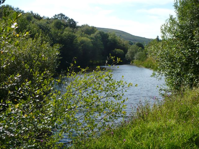
Parc Cwm Darran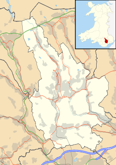
 Darran Valley
Darran Valley shown within CaerphillyPopulation 2,545 (2001) OS grid reference SO112032 Community Darran Valley Principal area Caerphilly Ceremonial county Gwent Country Wales Sovereign state United Kingdom Post town BARGOED Postcode district CF81 Dialling code 01443 Police Gwent Fire South Wales Ambulance Welsh EU Parliament Wales UK Parliament Caerphilly Welsh Assembly Caerphilly List of places: UK • Wales • Caerphilly Darran Valley (Welsh: Cwm Darran) is a community in the County Borough of Caerphilly, Wales. The Darran Valley consists of the valley of the Bargod Rhymni and contains the villages of Deri, Pentwyn and Fochriw. These settlements grew around the Industrial Age to serve the collieries of Fochriw, Pencarreg and Groesfaen. As of 2001, the community had a recorded population of 2,545.[1]
History
The Groesfaen Colliery, which at 2,160 feet (660 m) was the deepest in the Darran Valley, opened around 1902.[2] It was nationalised in 1947 and closed in 1968.[3]
References
Caerphilly County Borough Caerphilly County Borough Council Principal settlements Aberbargoed · Abercarn · Bargoed · Bedwas · Blackwood · Caerphilly · Crumlin · Gelligaer · Newbridge · Rhymney · Risca · Senghenydd · Ystrad Mynach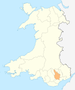
Towns and villages Abertridwr, Caerphilly · Abertysswg · Argoed · Blaen-carno · Bont Pren · Britannia · Brithdir · Bryn · Bryncenydd · Bute Town · Caledfryn · Castle Park · Cefn Fforest · Cefn Hengoed · Cefn Mably · Chapel of Ease · Churchill Park · Croespenmaen · Crosskeys · Cwmbargoed · Cwmcarn · Cwmgelli · Cwmfelinfach · Cwmsyfiog · Cwmnantygwynt · Darran Valley · Deri · Draethen · Eglwysilan · Elliotstown · Energleyn · Fernlea · Fleur de Lys · Fochriw · Gellihaf · Gelligroes · Gilfach · Gilfach Estate · Glan-y-nant · Graig-y-Rhacca · Groesfaen · Hafodyrynys · Hendredenny · Hengoed · Hollybush · Lansbury Park · Llanbradach · Llanfabon · Llanfach · Llechryd · Llwyn Gwyn · Machen · Maesycwmmer · Manmoel · Markham · Mornington Meadows · Mynyddislwyn · Nelson · New Tredegar · Oakdale · Ochrwyth · Pantside · Pantyresk · Penallta · Pengam · Penllwyn · Penmaen · Penpedairheol · Pentwyn (near Fochriw) · Pentwyn (near Penyrheol) · Pentwyn (near Trinant) · Pentwynmawr · Penybryn · Penyfan · Penyrheol · Phillipstown · Pontllanfraith · Pontlottyn · Pontymister · Pontywaun · Princetown · Pwllypant · Rhymney Bridge · Rudry · Ruperra · Springfield · Tirphil · Tir-y-berth · Trecenydd · Tredomen · Treowen · Trethomas · Trinant · Troedrhiwfwch · Ty Sign · Van · Waterloo · Watford · Wattsville · West End · Wernddu · Woodfieldside · Wyllie · YnysdduCategories:


Wikimedia Foundation. 2010.