- Craggy Island (Livingston Island)
-
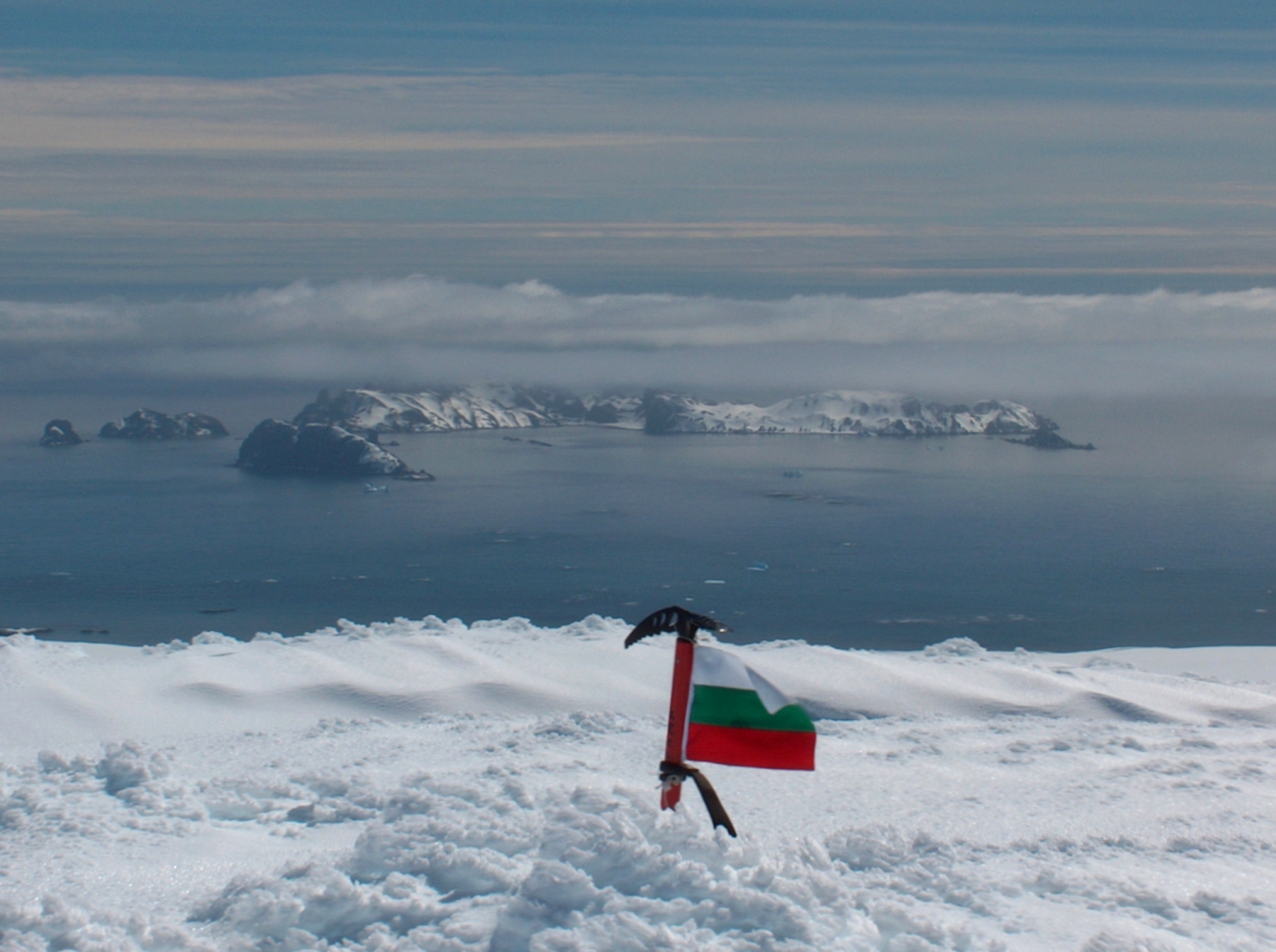
Craggy Island 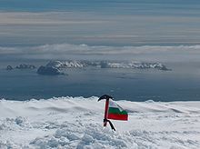
Desolation Island's group from Vidin Heights, Livingston Island, with Craggy Island on the right.
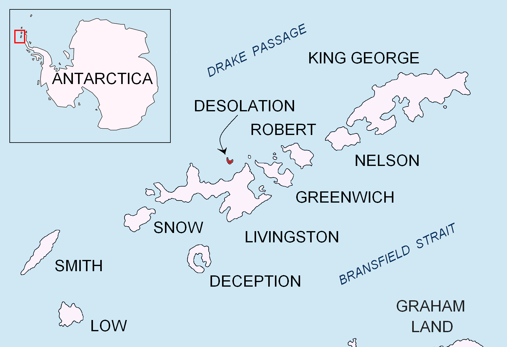
Location of Desolation Island in the South Shetland Islands.Geography Location Antarctica Coordinates 62°27′43.5″S 60°17′37.3″W / 62.462083°S 60.293694°W Archipelago South Shetland Islands Area 9 ha (22 acres) Country Demographics Population 0 Additional information Administered under the Antarctic Treaty System Craggy Island is a narrow island marked by crags, lying in Hero Bay, Livingston Island in the South Shetland Islands, Antarctica and forming the northeast side of Blythe Bay. Surface area 9 hectares (22 acres).[1]) The area was frequented by early nineteenth century English and American sealers operating from Blythe Bay.
The feature was charted and named descriptively by the Discovery Investigations in 1935.
Contents
Location
The island is centred at 62°27′43.5″S 60°17′37.3″W / 62.462083°S 60.293694°W which is 900 m (980 yd) east-southeast of Desolation Island, 8.2 km (5.1 mi) west-southwest of Williams Point, 5.98 km (3.72 mi) northwest of Kotis Point, 6.5 km (4.0 mi) north-northwest of Bezmer Point, 2.2 km (1.4 mi) north by east of Wood Island, Livingston Island and 11.64 km (7.23 mi) northeast of Siddons Point (British mapping in 1821, 1935, 1948 and 1968, Argentine in 1954, Chilean in 1971, and Bulgarian in 2005 and 2009).
See also
- Composite Antarctic Gazetteer
- List of Antarctic islands south of 60° S
- SCAR
- Territorial claims in Antarctica
Map
- L.L. Ivanov et al. Antarctica: Livingston Island and Greenwich Island, South Shetland Islands. Scale 1:100000 topographic map. Sofia: Antarctic Place-names Commission of Bulgaria, 2005.
References
- ^ L.L. Ivanov. Antarctica: Livingston Island and Greenwich, Robert, Snow and Smith Islands. Scale 1:120000 topographic map. Troyan: Manfred Wörner Foundation, 2009. ISBN 978-954-92032-6-4
External links
South Shetland Islands Major Minor - Aitcho
- (Barrientos
- Bilyana
- Cecilia
- Emeline
- Jorge
- Kilifarevo
- Pasarel
- Riksa)
- Araguez
- Astor
- Barlow
- Basso
- Bridgeman
- Chiprovtsi
- Cornwall
- Cornwallis
- Craggy
- Dee
- Desolation
- Dunbar
- (Aspis
- Balsha
- Zavala)
- Express
- Gibbs
- González
- Half Moon
- Heywood
- Kabile
- Meade
- (Zverino
- Cave)
- Miladinovi
- Montufar
- Ongley
- Onogur
- Penguin
- Pordim
- Pyramid
- Rogozen
- Romeo
- Rowett
- Rugged
- San Telmo
- Seal
- Sierra
- Stoker
- Table
- Tatul
- Treklyano
- Valchedram
- Window
- Withem
- Wood
- Zed
- (Esperanto
- Koshava
- Lesidren
- Phanagoria)
Rocks, stacks, reefs
spits and banks- Alepu
- Avren
- Belchin
- Bonert
- Bowler
- Buchino
- Caraquet
- Chaos
- Channel
- Chapman
- Cheshire
- Cone
- Cutler
- Dovizio
- Eddystone
- Eliza
- Folger
- Frederick
- Galiche
- Grace
- Graovo
- Henfield
- Hetty
- Holmes
- Ibar
- Koynare
- Letelier
- Liberty
- Lientur
- Long
- Lynx
- Maglizh
- Makresh
- Mellona
- Milev
- Mónica
- Morris
- Okol
- Opaka
- Orsoya
- Parry Patch
- Passage
- Pig
- Potmess
- Priboy
- Rabisha
- Raquelia
- Reyes
- Rongel
- Rosales
- Rusokastro
- Salient
- Sally
- Sewing-Machine Needles
- Skrino
- Stackpole
- Telish
- The Pointers
- Tooth
- Turmoil
- Tvarditsa
- Vardim
- Vergilov
- Vietor
- Voluyak
- Weeks

This Livingston Island location article is a stub. You can help Wikipedia by expanding it.