- Coqueza Canton
-
Coqueza — Canton — The village of Coqueza with the Salar de Uyuni in the background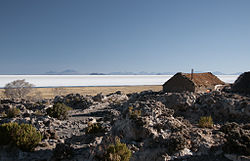 Location of Coqueza within Bolivia
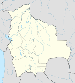
 Coqueza
Coordinates: 19°54′5″S 67°37′32″W / 19.90139°S 67.62556°W Country  Bolivia
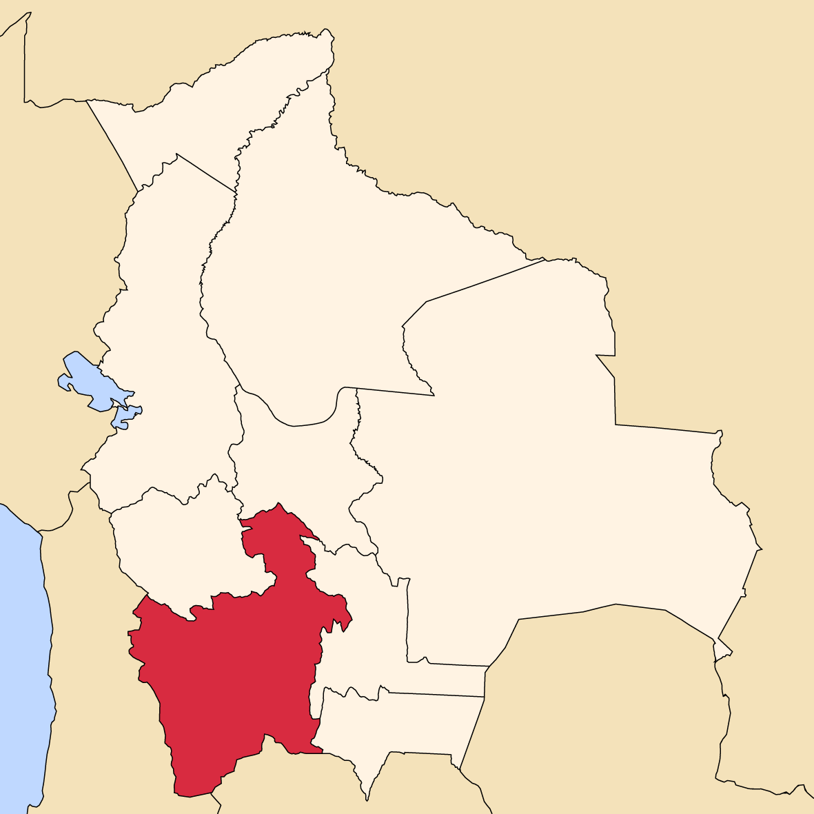
Department Potosí Department Province Daniel Campos Province Municipality Tahua Municipality Seat Coqueza Population (2001) – Total 102 Time zone BST (UTC-4) Coqueza (also spelled Coquesa) is one of the cantons of the Tahua Municipality, the second municipal section of the Daniel Campos Province in the Potosí Department of Bolivia. During the census of 2001 it had 102 inhabitants.[1] Its seat is Coqueza. The village is situated at the Salar de Uyuni and south of the Tunupa volcano.
See also
- Inkawasi Island
- Isla del Pescado
References
- ^ Instituto Nacional de Estadística, Bolivia (Spanish)
External links
 Potosí DepartmentCapital: Potosí
Provinces 
Municipalities (and seats) Acasio (Acasio) • Arampampa (Arampampa) • Atocha (Atocha) • Betanzos (Betanzos) • Caiza "D" (Caiza "D") • Ckochas (Ckochas) • Caripuyo (Caripuyo) • Chaquí (Chaquí) • Chayanta (Chayanta) • Chuquihuta (Chuquihuta) • Colcha "K" (Colcha "K") • Colquechaca (Colquechaca) • Cotagaita (Cotagaita) • Llallagua (Llallagua) • Llica (Llica) • Mojinete Municipality (Mojinete) Ocurí (Ocurí) • Pocoata (Pocoata) • Porco (Porco) • Potosí (Potosí) • Puna (Puna) • Ravelo (Ravelo) • Sacaca (Sacaca) • San Agustín (San Agustín) • San Antonio de Esmoruco (San Antonio de Esmoruco) • San Pablo de Lípez (San Pablo de Lípez) • San Pedro de Buena Vista (San Pedro de Buena Vista) • San Pedro de Quemes (San Pedro de Quemes) • Tacobamba (Tacobamba) • Tahua (Tahua) • Tinguipaya (Tinguipaya) • Tomave (Tomave) • Toro Toro (Toro Toro) • Tupiza (Tupiza) • Uncía (Uncía) • Urmiri (Urmiri) • Uyuni (Uyuni) • Villazón (Villazón) • Vitichi (Vitichi) • Yocalla (Yocalla)Categories:- Potosí Department geography stubs
- Potosí Department
- Cantons of Bolivia


Wikimedia Foundation. 2010.