- Chayanta Municipality
-
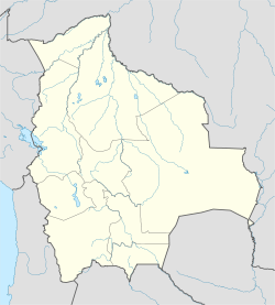
Chayanta Municipality — Municipality — Location within Bolivia Coordinates: 18°25′S 66°23′W / 18.417°S 66.383°WCoordinates: 18°25′S 66°23′W / 18.417°S 66.383°W Country  Bolivia
Department Potosí Department Province Rafael Bustillo Province Seat Chayanta Population (2001) - Total 14,165 - Ethnicities Quechua Time zone -4 (UTC-4) Chayanta Municipality is the second municipal section of the Rafael Bustillo Province in the Bolivian Potosí Department. Its seat is Chayanta.
Contents
Location
It is one of three municipalities (municipios) in the province, bordered by the Uncía Municipality in the southwest and the Llallagua Municipality in the northwest.
Population
The 2001 census stated a population of 14,165 inhabitants in the Chayanta Municipality. Life expectancy of a newborn is 51 years, literacy among the over-15-year old is 63%, and 85% of the population is rural.
The people are predominantly indigenous citizens of Quechua descent.[1]Ethnic group % Quechua 87.8 Aymara 9.8 Guaraní, Chiquitos, Moxos 0.0 Not indigenous 2.2 Other indigenous groups 0.1 Cantons
The municipality is divided into nine cantons (cantones):
- Amayapampa Canton
- Amaya Canton
- Chayanta Canton
- Chiuta Cala Cala Canton
- Coataca Canton
- Irupata Canton
- Nueva Colcha Canton
- Panacachi Canton
- Río Verde Canton
References
- ^ obd.descentralizacion.gov.bo/municipal/fichas/ (inactive)
External links
Categories:- Municipalities of Potosí Department
Wikimedia Foundation. 2010.

