- San Pedro de Quemes Municipality
-
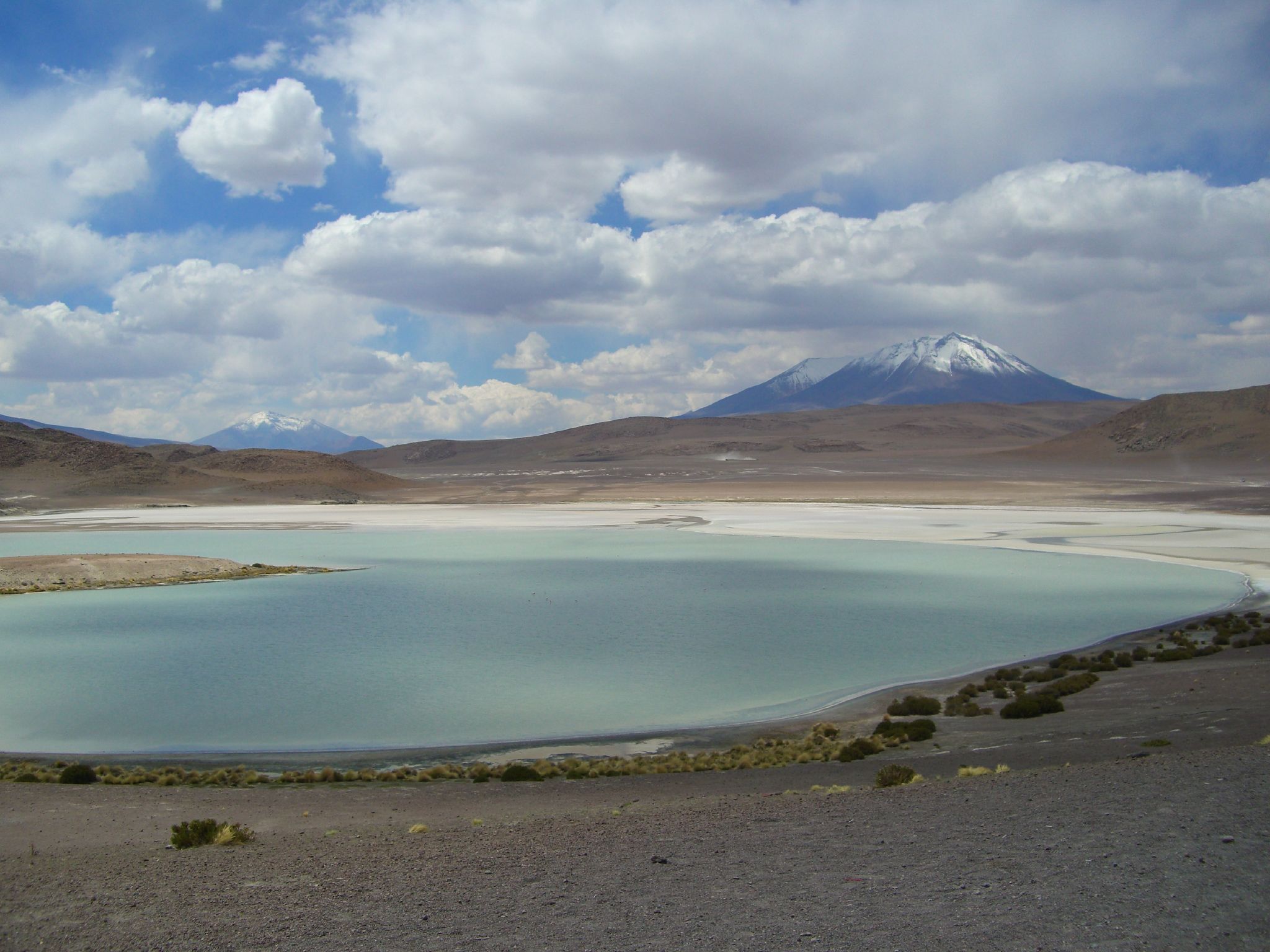
San Pedro de Quemes Municipality — Municipality — Hedionda Lake with Sarapuru volcano on the left and Caquella or Callejón mountain on the right Location within Bolivia
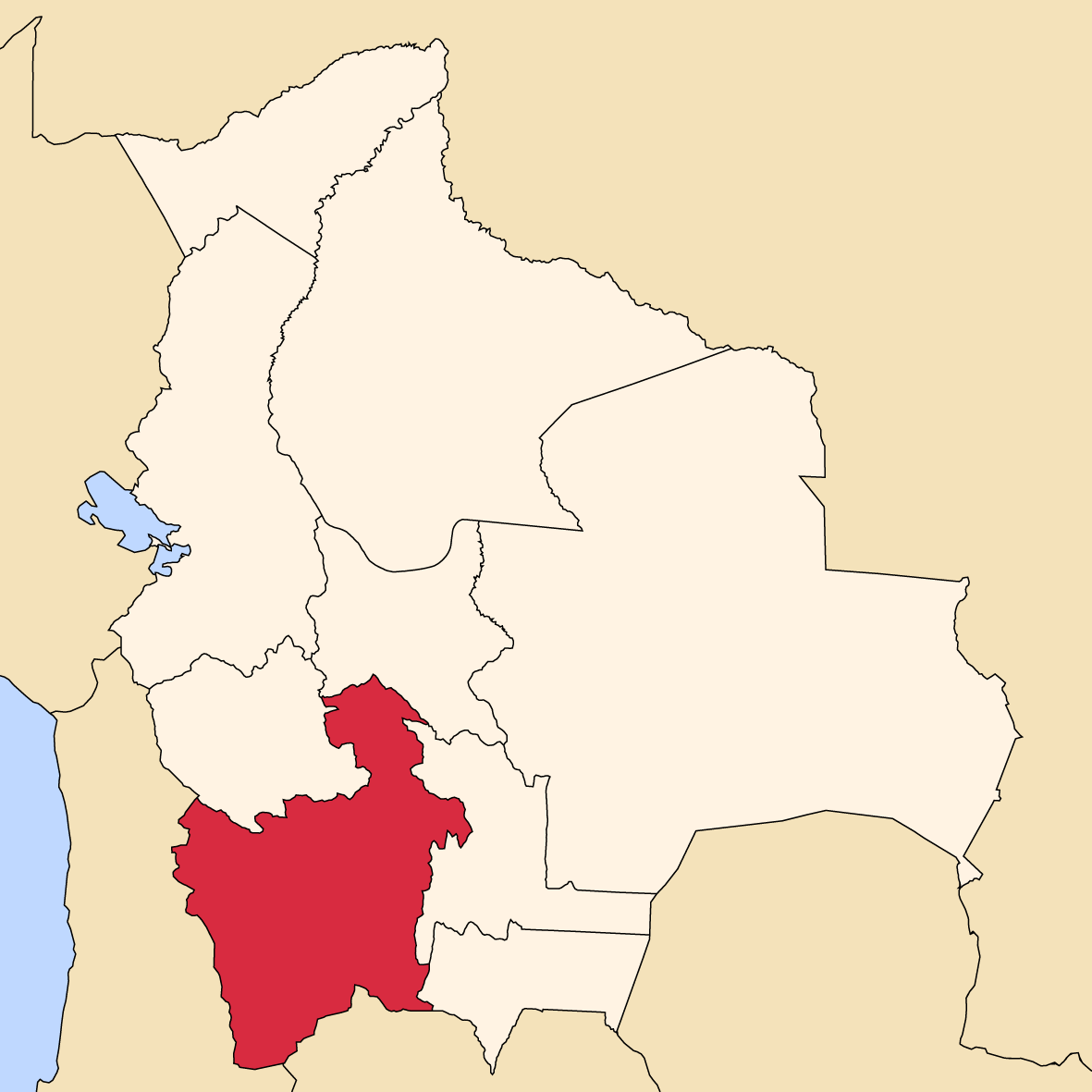
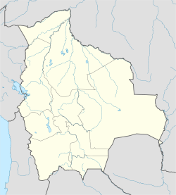
 San Pedro de Quemes Municipality
Coordinates: 21°3′S 68°18′W / 21.05°S 68.3°WCoordinates: 21°3′S 68°18′W / 21.05°S 68.3°W Country  Bolivia
Department Potosí Department Province Nor Lípez Province Seat San Pedro de Quemes Area – Total 1,656.8 sq mi (4,291 km2) Elevation 13,123 ft (4,000 m) Population (2001) – Total 815 – Ethnicities Quechua Time zone -4 (UTC-4) San Pedro de Quemes Municipality is the second municipal section of the Nor Lípez Province in the Potosí Department in Bolivia. Its seat is San Pedro de Quemes.
Contents
Subdivision
The municipality consists of the following cantons:[1]
- Cana - 44 inhabitants (2001)
- Chiguana - 10 inhabitants
- Pajancha - 52 inhabitants
- Pelcoya - 135 inhabitants
- San Pedro de Quemes- 574 inhabitants
Geography
Some of the highest mountains in the municipality are:
Name Location Araral Pelcoya Canton /  Chile
ChileIruphutunku Cana Canton Julina San Pedro de Quemes Canton Cañapa Pelcoya Canton Minchincha Cana Canton / ChilePabellón Pelcoya Canton Paruma Cana Canton / ChileQ'aluta Wintu Luma (Khaluta Vinto Loma) San Pedro de Quemes Canton Cerro Gordo, Cana Cana Canton Cerro Gordo, Quemes San Pedro de Quemes Canton Sarapuru (Sarapuro) San Pedro de Quemes Municipality Uquilla San Pedro de Quemes Canton Ollagüe Pelcoya Canton Olca Cana Canton / ChileMany of the mountains and volcanoes form a natural border to Chile.
The people
The people are mainly not indigenous and 45,0 % are citizens of Quechua descent.[2]
Ethnic group % Quechua 45.0 Aymara 6.3 Guaraní, Chiquitos, Moxos 0.2 Not indigenous 48.3 Other indigenous groups 0.2 References
- ^ National Institute of Statistics of Bolivia
- ^ obd.descentralizacion.gov.bo/municipal/fichas/ (inactive)
External links
 Potosí DepartmentCapital: Potosí
Provinces 
Municipalities (and seats) Acasio (Acasio) • Arampampa (Arampampa) • Atocha (Atocha) • Betanzos (Betanzos) • Caiza "D" (Caiza "D") • Ckochas (Ckochas) • Caripuyo (Caripuyo) • Chaquí (Chaquí) • Chayanta (Chayanta) • Chuquihuta (Chuquihuta) • Colcha "K" (Colcha "K") • Colquechaca (Colquechaca) • Cotagaita (Cotagaita) • Llallagua (Llallagua) • Llica (Llica) • Mojinete Municipality (Mojinete) Ocurí (Ocurí) • Pocoata (Pocoata) • Porco (Porco) • Potosí (Potosí) • Puna (Puna) • Ravelo (Ravelo) • Sacaca (Sacaca) • San Agustín (San Agustín) • San Antonio de Esmoruco (San Antonio de Esmoruco) • San Pablo de Lípez (San Pablo de Lípez) • San Pedro de Buena Vista (San Pedro de Buena Vista) • San Pedro de Quemes (San Pedro de Quemes) • Tacobamba (Tacobamba) • Tahua (Tahua) • Tinguipaya (Tinguipaya) • Tomave (Tomave) • Toro Toro (Toro Toro) • Tupiza (Tupiza) • Uncía (Uncía) • Urmiri (Urmiri) • Uyuni (Uyuni) • Villazón (Villazón) • Vitichi (Vitichi) • Yocalla (Yocalla)Categories:- Potosí Department geography stubs
- Municipalities of Potosí Department

Wikimedia Foundation. 2010.