- Mojinete Municipality
-
Mojinete Municipality — Municipality — Mojinete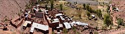 Location within Bolivia
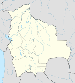
 Mojinete Municipality
Coordinates: 21°46′S 66°18′W / 21.767°S 66.3°WCoordinates: 21°46′S 66°18′W / 21.767°S 66.3°W Country  Bolivia
Department Potosí Department Province Sur Lípez Province Seat Mojinete Elevation 11,483 ft (3,500 m) Population (2001) - Total 716 - Ethnicities Quechua Time zone -4 (UTC-4) Mojinete Municipality is the second municipal section of the Sur Lípez Province in the Potosí Department in Bolivia. Its seat is Mojinete.
Contents
Subdivision
The municipality consists of the following cantons:
- Bonete Palca
- Casa Grande
- Mojinete
- Pueblo Viejo
- La Cienega
The people
The people are predominantly indigenous citizens of Quechua descent.[1]
Ethnic group % Quechua 98.3 Aymara 1.0 Guaraní, Chiquitos, Moxos 0.0 Not indigenous 0.7 Other indigenous groups 0.0 References
- ^ obd.descentralizacion.gov.bo/municipal/fichas/ (inactive)
External links
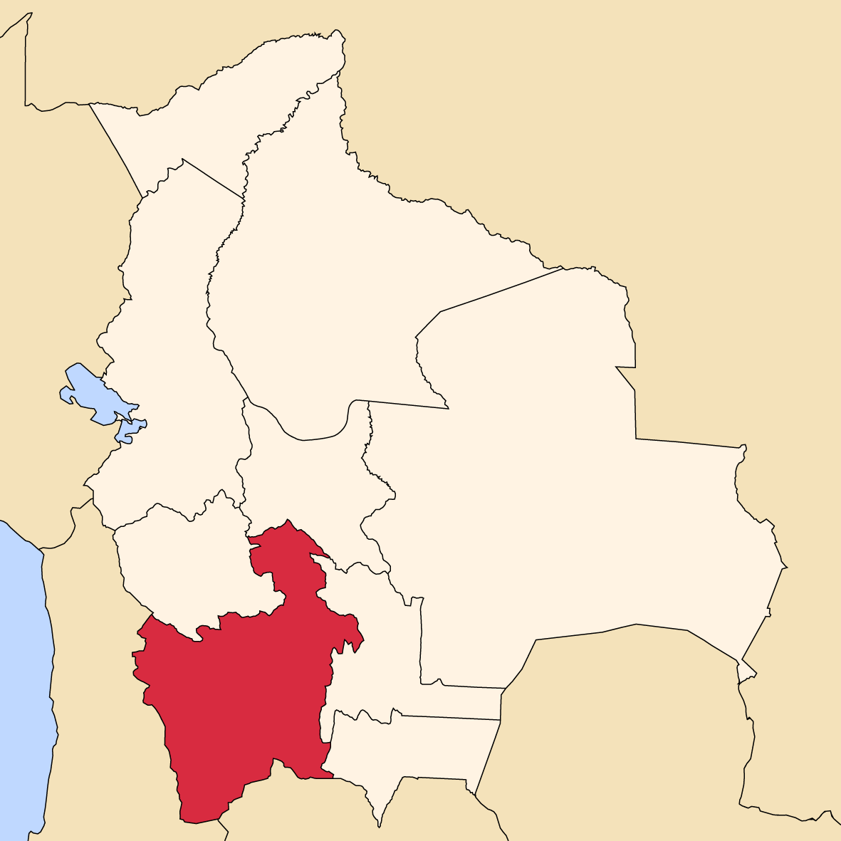
 Potosí Department
Capital: Potosí Provinces 
Municipalities (and seats) Acasio (Acasio) • Arampampa (Arampampa) • Atocha (Atocha) • Betanzos (Betanzos) • Caiza "D" (Caiza "D") • Ckochas (Ckochas) • Caripuyo (Caripuyo) • Chaquí (Chaquí) • Chayanta (Chayanta) • Chuquihuta (Chuquihuta) • Colcha "K" (Colcha "K") • Colquechaca (Colquechaca) • Cotagaita (Cotagaita) • Llallagua (Llallagua) • Llica (Llica) • Mojinete Municipality (Mojinete) Ocurí (Ocurí) • Pocoata (Pocoata) • Porco (Porco) • Potosí (Potosí) • Puna (Puna) • Ravelo (Ravelo) • Sacaca (Sacaca) • San Agustín (San Agustín) • San Antonio de Esmoruco (San Antonio de Esmoruco) • San Pablo de Lípez (San Pablo de Lípez) • San Pedro de Buena Vista (San Pedro de Buena Vista) • San Pedro de Quemes (San Pedro de Quemes) • Tacobamba (Tacobamba) • Tahua (Tahua) • Tinguipaya (Tinguipaya) • Tomave (Tomave) • Toro Toro (Toro Toro) • Tupiza (Tupiza) • Uncía (Uncía) • Urmiri (Urmiri) • Uyuni (Uyuni) • Villazón (Villazón) • Vitichi (Vitichi) • Yocalla (Yocalla)Categories:- Potosí Department geography stubs
- Municipalities of Potosí Department


Wikimedia Foundation. 2010.