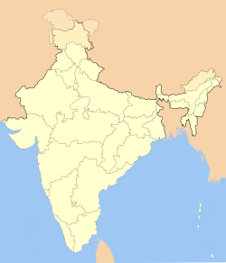
- Chitrakoot Colony
-
Chitrakoot — neighbourhood — Coordinates 26°54′N 75°44′E / 26.90°N 75.73°ECoordinates: 26°54′N 75°44′E / 26.90°N 75.73°E Country India State Rajasthan District(s) Jaipur Parliamentary constituency Jaipur Time zone IST (UTC+05:30) Chitrakoot (Hindi: चित्रकूट, Urdu: چترکوٹ) is an affluent neighbourhood (colony) in west Jaipur. Chitakoot is divided into into 11 sectrors, out of which 10 are residential and 1 is for commercial and social purose.
Location
Chitakoot is situated on Ajmer Road. Chitrakoot is surrounded by Vaishali Nagar in north, Vidyut Nagar in east and Pratap Nagar in West. It is 15 km from Sanganer Airport.
Categories:- Villages in Jaipur district
Wikimedia Foundation. 2010.

