- Cheviot Hills, Los Angeles
-
Cheviot Hills is a small residential district on the West Side of Los Angeles, California. It served as the location for the Three's Company spin-off The Ropers.
Contents
Geography
Cheviot Hills is bordered by Rancho Park on the west and northwest, Palms on the south, Beverlywood on the east, and Century City and Beverly Hills on the north. Principal thoroughfares include Pico and National Boulevards and Manning and Motor Avenues.
Population
In 2009, the Los Angeles Times's "Mapping L.A." project supplied these Cheviot Hills neighborhood statistics: population: 6,945; median household income: $111,813.[1]
Government and infrastructure
The Los Angeles County Department of Health Services SPA 5 West Area Health Office serves Cheviot Hills.[2]
Police service
The Los Angeles Police Department operates the West Los Angeles Community Police Station at 1663 Butler Avenue, 90025, serving the neighborhood.[3]
Education
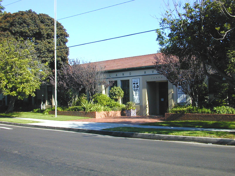
 Overland Avenue School
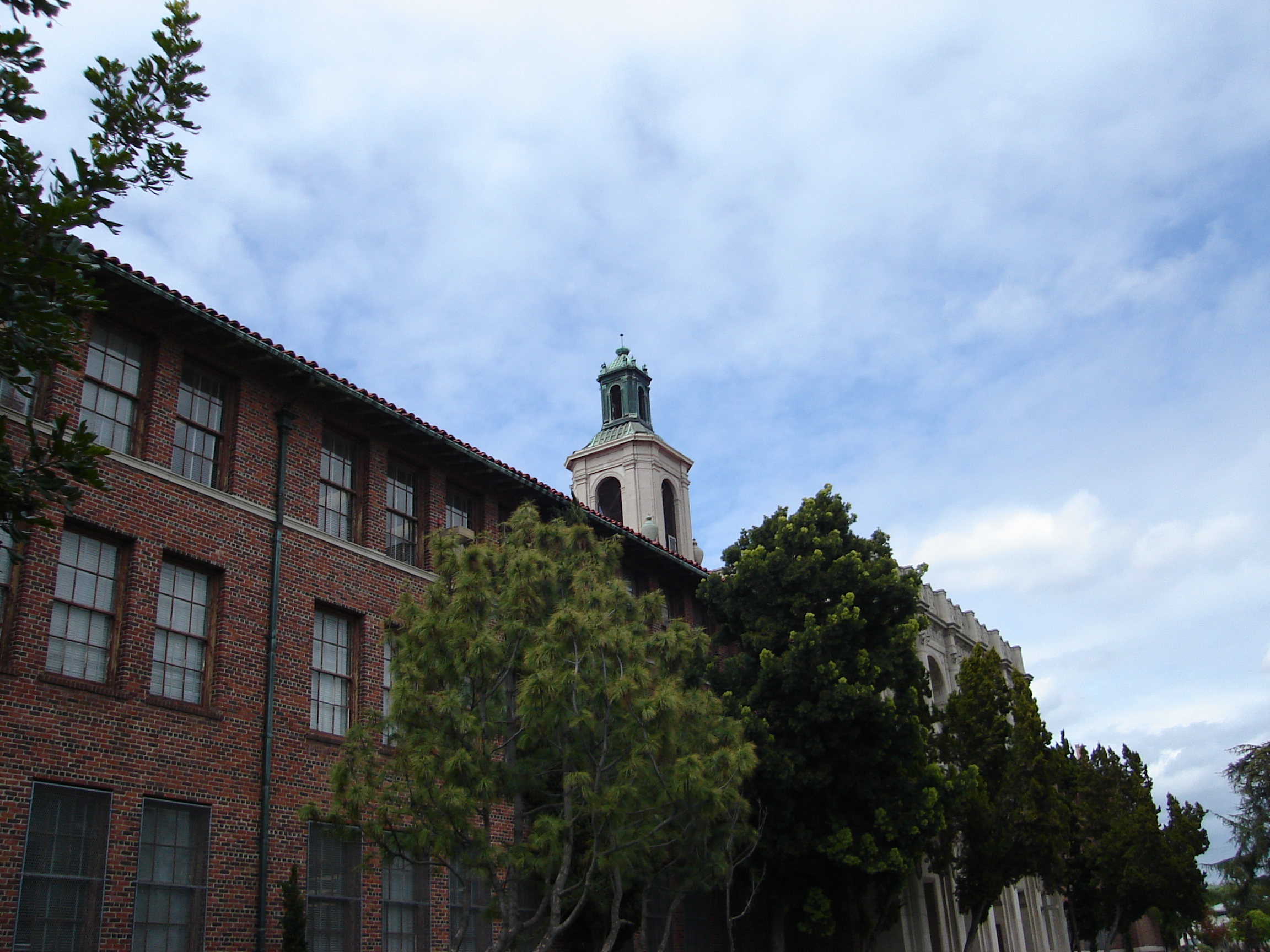
Cheviot Hills is zoned to Los Angeles USD schools.[4]
Some residents are zoned to Castle Heights Elementary School[5] while some residents are zoned to Overland Avenue Elementary School[6]
All residents are zoned to:
Parks and recreation
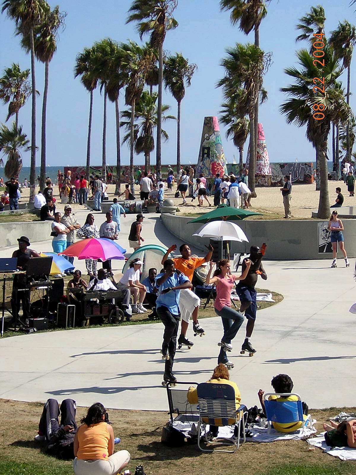
Cheviot Hills Park, the Cheviot Hills Recreation Center, and the Cheviot Hills Tennis Courts, are in Cheviot Hills and located next to the Rancho Park Golf Course.[7][8] The park and recreation center have a community room which has a capacity of 80 to 100 people. In addition they have an auditorium, barbecue pits, a lighted baseball diamond, an unlighted baseball diamond, lighted indoor basketball courts, lighted outdoor basketball courts, a children's play area, an indoor gymnasium without weights, picnic tables, and lighted volleyball courts.[8] The Cheviot Hills Tennis Courts consists of fourteen lighted tennis courts.[9] The Cheviot Hills Pool is an outdoor unheated seasonal pool in Cheviot Hills.[10]
Notes
- ^ "Cheviot Hills" entry on the Los Angeles Times "Mapping L.A." website
- ^ "About Us." Los Angeles County Department of Health Services. Retrieved on March 18, 2010.
- ^ http://www.lapdonline.org/west_la_community_police_station lapdonline.org
- ^ http://www.latimes.com/classified/realestate/printedition/la-re-guide26oct26,1,1639842.story
- ^ http://www.lausd.k12.ca.us/Castle_Heights_EL/
- ^ [1]
- ^ "Cheviot Hills Park." City of Los Angeles. Retrieved on March 23, 2010.
- ^ a b "Cheviot Hills Recreation Center." City of Los Angeles. Retrieved on March 23, 2010.
- ^ "Cheviot Hills Tennis Courts." City of Los Angeles. Retrieved on March 23, 2010.
- ^ "Cheviot Hills Pool." City of Los Angeles. Retrieved on March 23, 2010.
See also
External links
- Cheviot Hills Homeowners Association
- Los Angeles Times, Real Estate section, Neighborly Advice column: "[Cheviot Hills:] The burr of Scotland and the whir of cameras" (26 Oct 2003)
- Light Rail for Cheviot
City of Los Angeles Topics History • Transportation • Culture • Landmarks • Historic sites • Skyscrapers • Demographics • Crime • Sports • Media • Music • Notable people • Lists
Government Flag • Mayors • City Council • Other elected officials • Airport • DWP • Fire Department • Police • Public schools • Libraries • Port • TransportationRegions Downtown • Eastside/Northeast • Harbor Area • Greater Hollywood • Westlake & Silver Lake/Los Feliz • San Fernando and Crescenta Valleys • South Los Angeles • Westside • WilshireWestside region, Los Angeles Districts and
neighborhoodsBel Air · Benedict Canyon · Beverly Crest · Beverly Glen · Beverly Hills Post Office · Beverlywood · Brentwood · Brentwood Circle · Brentwood Glen · Century City · Cheviot Hills · Crestview · Del Rey · East Gate Bel Air · Holmby Hills · Kenter Canyon · Mandeville Canyon · Marina Peninsula · Mar Vista · Palisades Highlands · Pacific Palisades · Palms · Playa del Rey · Playa Vista · Rancho Park · Rustic Canyon · Sawtelle · South Robertson · Venice · West Los Angeles · Westchester · Westdale · Westside Village · Westwood
Points of
interestSee also Downtown · Eastside/Northeast · Harbor Area · Greater Hollywood · Westlake & Silver Lake/Los Feliz · San Fernando and Crescenta Valleys · South Los Angeles · Westside · Wilshire Categories:- Neighborhoods in Los Angeles, California

Wikimedia Foundation. 2010.