- Menghai County
-
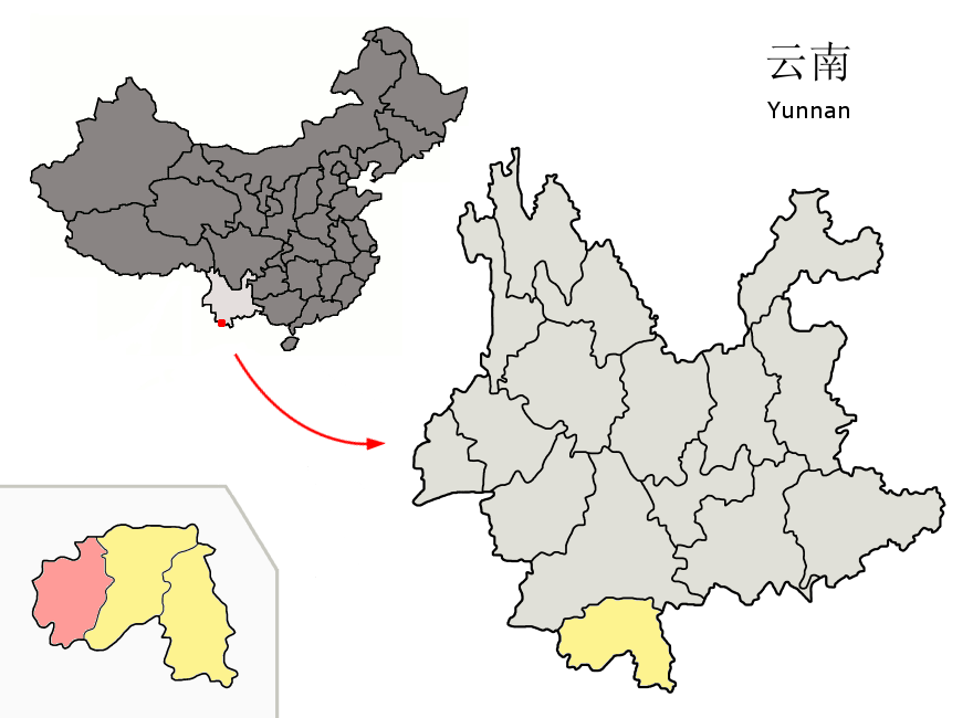
Menghai County — County — Chinese transcription(s) - Characters 勐海县 - Pinyin Měnghǎi Xiàn Location of Menghai County (pink) and Xishuangbanna Prefecture (yellow) within Yunnan province of China Location in Yunnan, China
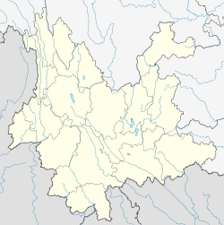
 Menghai County
Coordinates: 21°58′N 100°28′E / 21.967°N 100.467°E Country China Province Yunnan Prefecture Xishuangbanna GB/T 2260 CODE[1] 532822 Area - Total 5,511 km2 (2,127.8 sq mi) Population - Total 292,383 - Density 53.1/km2 (137.4/sq mi) Time zone China Standard Time (UTC+8) Postal code 666200[2] Area code(s) 0691[2] Website http://www.mhfgj.gov.cn/ 1Yunnan Statistics Bureau [1]
2Xishuangbanna Gov. [2]
3Yunnan Portal [3]Menghai County (勐海县; pinyin: Měnghǎi Xiàn) is a county under the jurisdiction of Xishuangbanna Dai Autonomous Prefecture, Yunnan province, China.
Contents
Transport
- Nearest airport is Xishuangbanna Gasa
- China National Highway 214
Tea
References
Further reading
- Jacobs, Andrew. EMBARGO: In once-booming tea region, a bitter reality. International Herald Tribune. (2009-01-09)
External links
Coordinates: 21°58′00″N 100°28′00″E / 21.9667°N 100.4667°E
Categories:- County-level divisions of Xishuangbanna Prefecture
- Yunnan geography stubs


Wikimedia Foundation. 2010.