- Montagu, Western Cape
-
Montagu, Western Cape Country  South Africa
Province Western Cape Time zone SAST (UTC+2) Postal code 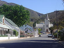 Street in Montagu
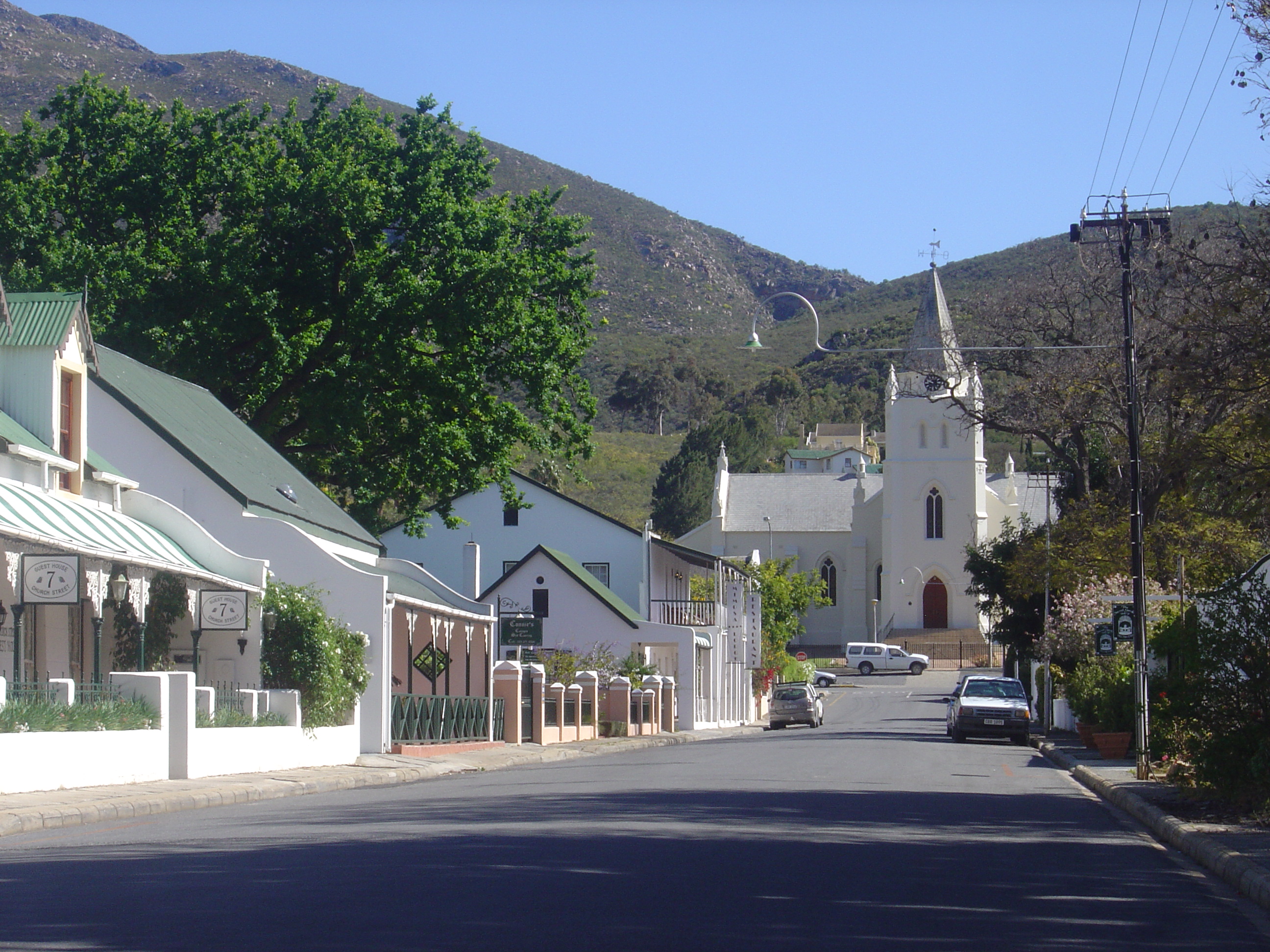
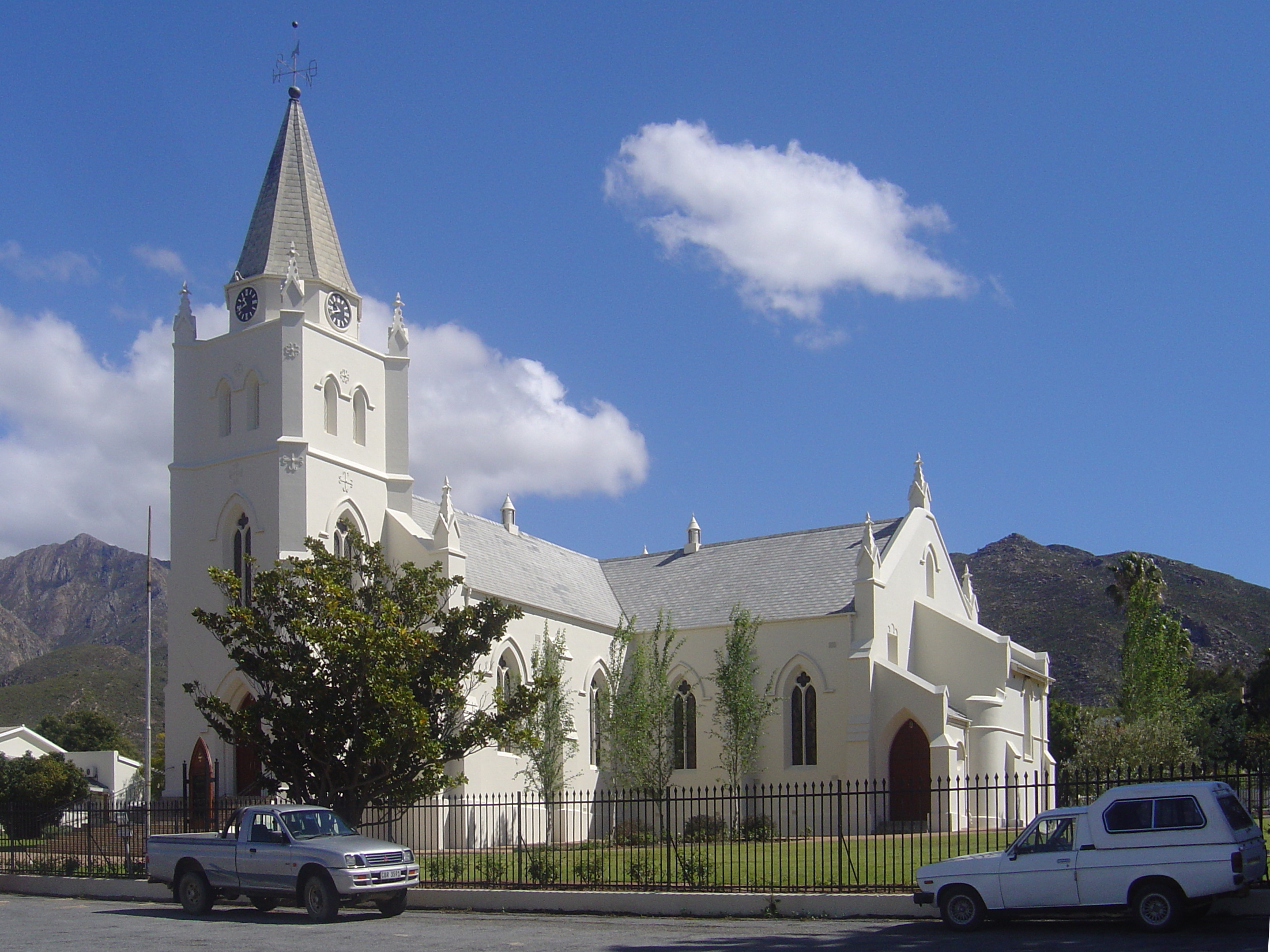
 The Dutch Reformed Church in Montagu
Montagu is a town in the Western Cape province of South Africa, about 180 km from Cape Town in western Kannaland. It is named after former secretary of the Cape Colony, John Montagu, but was once known as Agter Cogman’s Kloof. It is situated at the confluence of the Keisie and Kingna rivers.
Montagu is a tourist destination, known for its hot mineral springs and scenic beauty. It is also an agricultural centre, where orchards and vineyards are in production and local herbs are grown. Nearby rock formations make it one of the country's major rock climbing venues. The 1266 m high Bloupunt peak overlooks the village and offers several hiking trails, as well as kloofing and mountain biking trails further afield.
Montagu is near the Robertson Wine Valley, and is most easily reached via the Route 62 scenic route.
Rock Climbing
Montagu offers some of the best climbing in the Western Cape with many crags that vary in grade and steepness with excellent quality rock. +/-400 Single Pitch & Multi-Pitch Sport Routes of all ranges of difficulty.
External links
- Montagu & Ashton Official Tourism Information Website
- Town website
- Buying/Selling Property in Montagu website
- Montagu Climbing - South Africa Rock Climbing Routes Wiki

Witzenberg • Drakenstein • Stellenbosch • Breede Valley • Langeberg
Cities and towns Ashton • Bonnievale • Ceres • Chicago • De Doorns • Denneburg • Franschhoek • Gouda • Kayamandi • Klapmuts • Kylemore • Languedoc • McGregor • Montagu • Op-die-Berg • Paarl • Pniel • Prince Alfred Hamlet • Rawsonville • Robertson • Robertsvlei • Rozendal • Saron • Stellenbosch • Touws River • Tulbagh • Wellington • Wemmershoek • Wolseley • Worcester
Coordinates: 33°47′06″S 20°07′02″E / 33.785°S 20.11722°E
Categories:- Climbing areas of South Africa
- Populated places in the Cape Winelands District Municipality
- Western Cape geography stubs

Wikimedia Foundation. 2010.