- Ashton, Western Cape
-
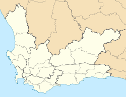
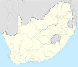
Ashton Location in the Western Cape Coordinates: 33°50′5″S 20°3′17″E / 33.83472°S 20.05472°ECoordinates: 33°50′5″S 20°3′17″E / 33.83472°S 20.05472°E Country  South Africa
Province Western Cape Time zone SAST (UTC+2) Postal code 6715 Ashton is a small town in the Western Cape in South Africa. The town is situated in a luscious valley famous for its great wines and fruit.
Witzenberg • Drakenstein • Stellenbosch • Breede Valley • Langeberg
Cities and towns Ashton • Bonnievale • Ceres • Chicago • De Doorns • Denneburg • Franschhoek • Gouda • Kayamandi • Klapmuts • Kylemore • Languedoc • McGregor • Montagu • Op-die-Berg • Paarl • Pniel • Prince Alfred Hamlet • Rawsonville • Robertson • Robertsvlei • Rozendal • Saron • Stellenbosch • Touws River • Tulbagh • Wellington • Wemmershoek • Wolseley • Worcester
Categories:- Populated places in the Cape Winelands District Municipality
- Western Cape geography stubs
Wikimedia Foundation. 2010.


