- Mount Vernon Trail
-
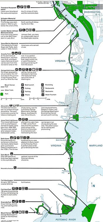 Map of the Trail
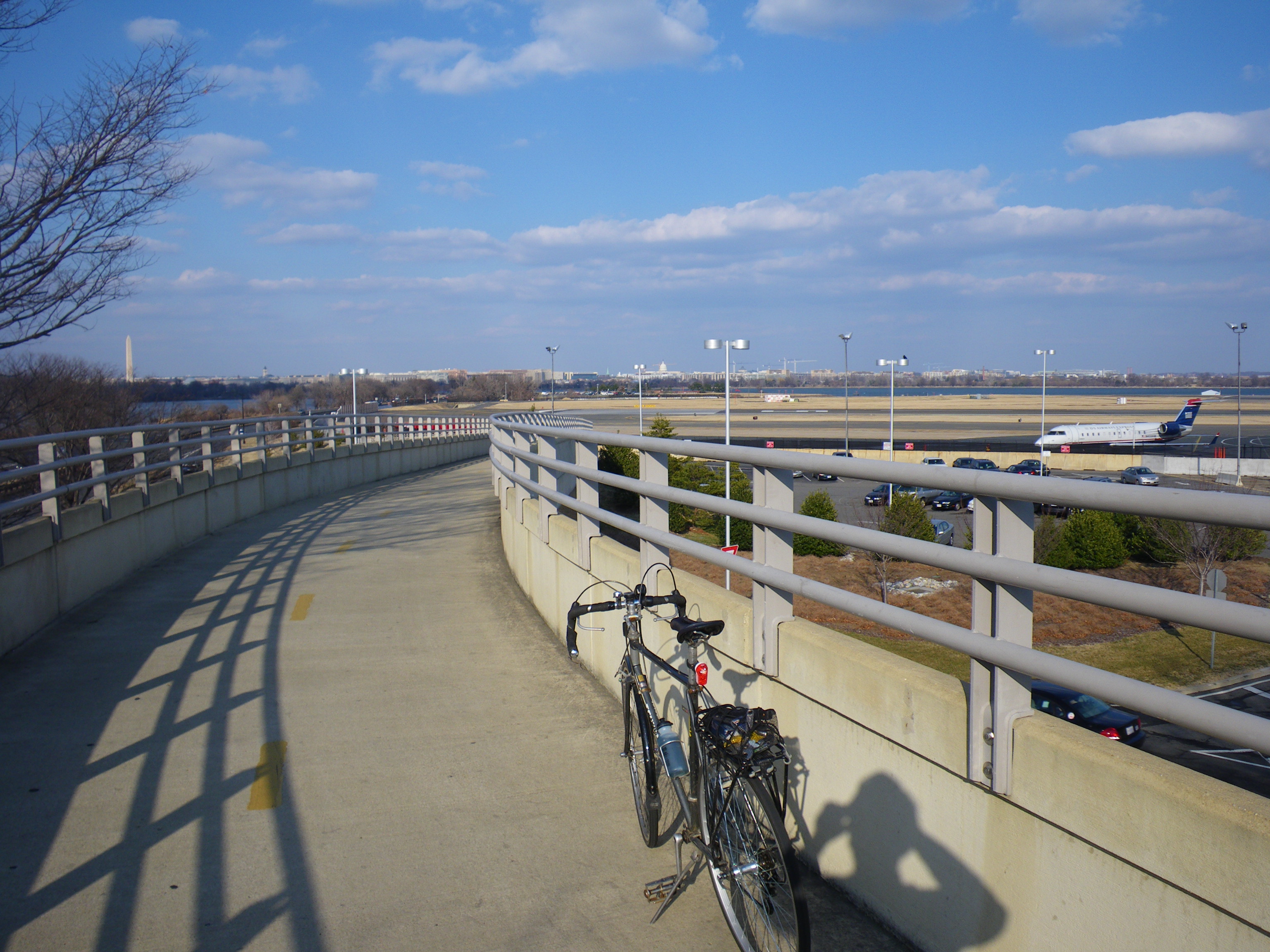
The Mount Vernon Trail is a popular running and bike path in Northern Virginia that follows the west bank of the Potomac River from near Theodore Roosevelt Island to Mount Vernon. The northern, urban half is open and has views of Washington, D.C. across the river. The southern 8 miles (13 km) below Alexandria is wooded and has occasional views of the river. Trees screen the surrounding housing developments. For the extension north of Roosevelt Island, see below. The path runs through parts of Arlington, Alexandria, and Fairfax County. The trail follows a similar path to the southern portion of the George Washington Memorial Parkway. The northern portion of the trail has scenic views of Washington D.C. from the west bank of the Potomac River, before arriving at Ronald Reagan National Airport.
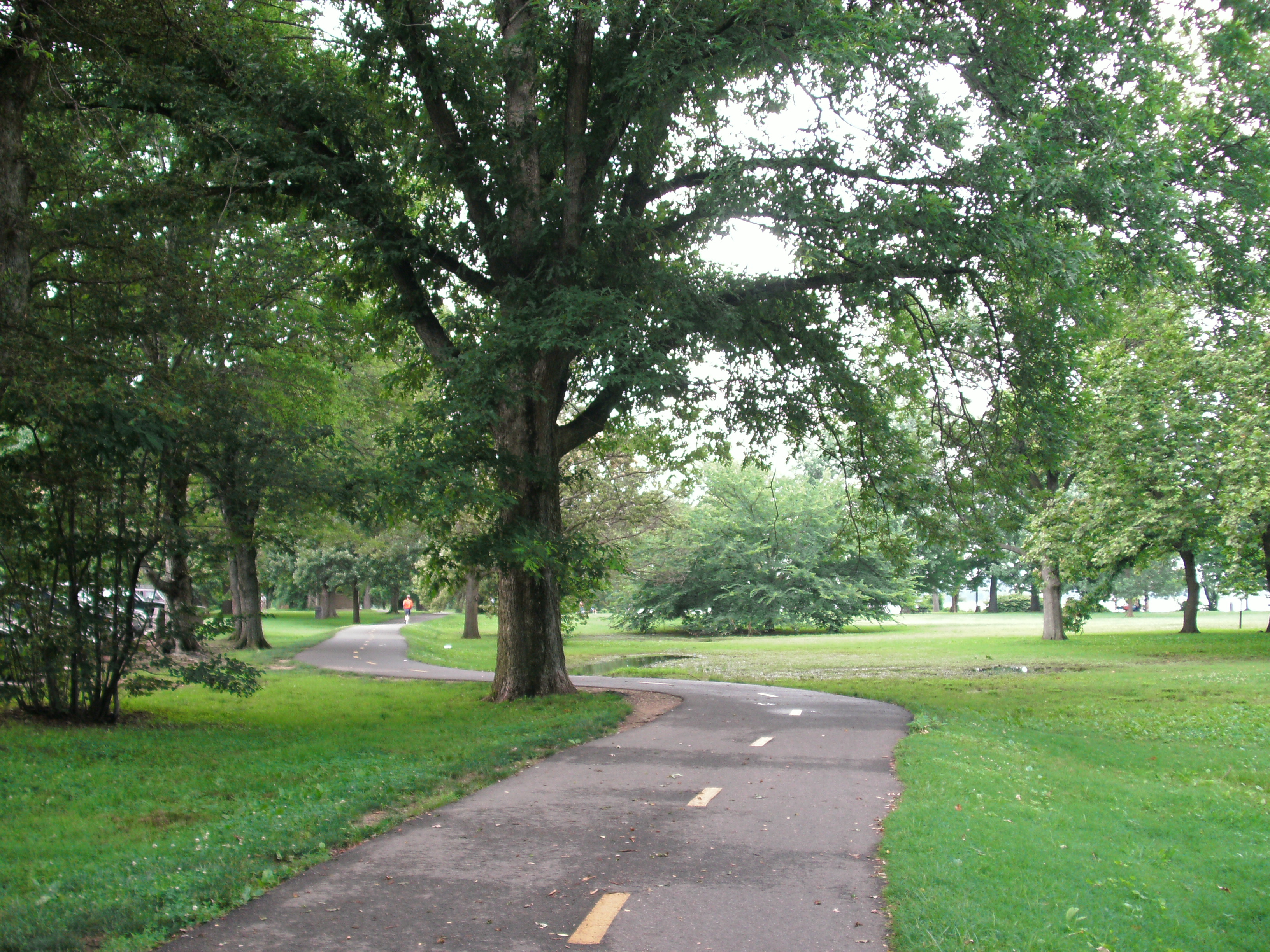
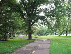 The Mount Vernon Trail near Belle View
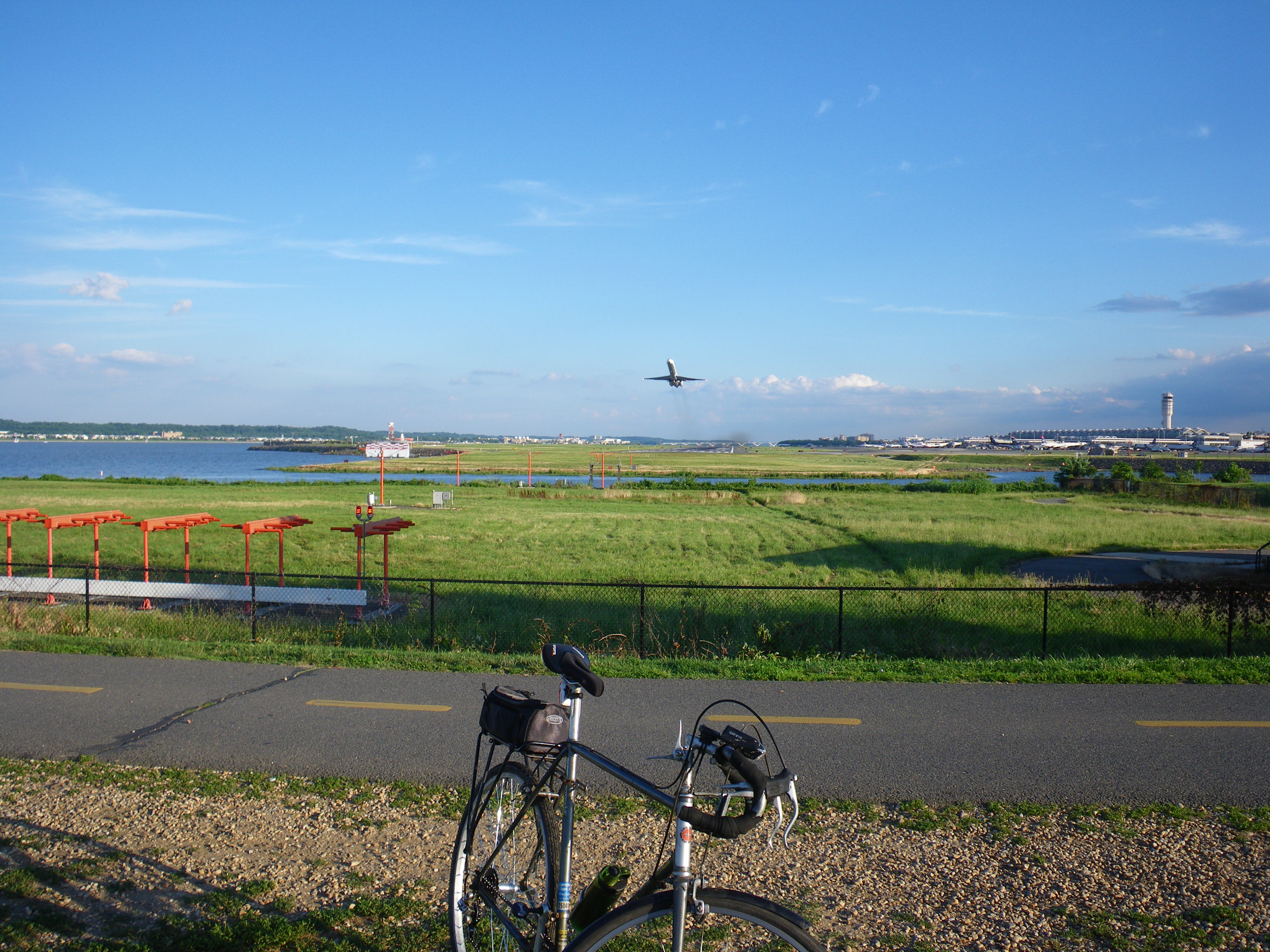
There are clear views of airplanes taking off and landing from Gravelly Point, a popular picnicking area. The path continues south into the Old Town neighborhood of Alexandria and requires riding on the street with vehicle traffic. South of Woodrow Wilson Bridge it passes along the west side of Dyke Marsh before becoming quite hilly and curvy before arriving at Mount Vernon. In particular, the last mile before you reach Mount Vernon is a notable uphill ride, walk, or run. A early twentieth century fort, Fort Hunt, is also along the path at Fort Hunt Park.
Via connectors, the trail connects to other bike paths including: Washington & Old Dominion Railroad Trail which extends west 53 miles (85 km) to Purcellville, Virginia (via either the Four Mile Run Trail or the Custis Trail); the Chesapeake and Ohio Canal towpath which extends 185 miles (298 km) to Cumberland, Maryland; the Capital Crescent Trail which goes north 11 miles (18 km) to Silver Spring, Maryland, and the Rock Creek Trail which ends near Lake Needwood in Montgomery County.
Northern Extension: North of Roosevelt Island the trail enters the Potomac gorge which extends to Great Falls (Potomac River). The trail here is not paved and is maintained mainly by being walked on. North of Chain Bridge (Potomac River) it is interrupted by a cliff and private land, and further west by the Beltway, so the route is not continuous. It is quite isolated for a trail so close to a city. It can be reached from Roosevelt Island, by side trails from local parks, or by scrambling down from overlooks on the G.W. Parkway. There are maintained side trails and several waterfalls. West of the Beltway there is a trail of some sort running from Great Falls.
-

tulips in bloom in front of the Navy-Merchant Marine Memorial
-
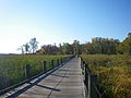
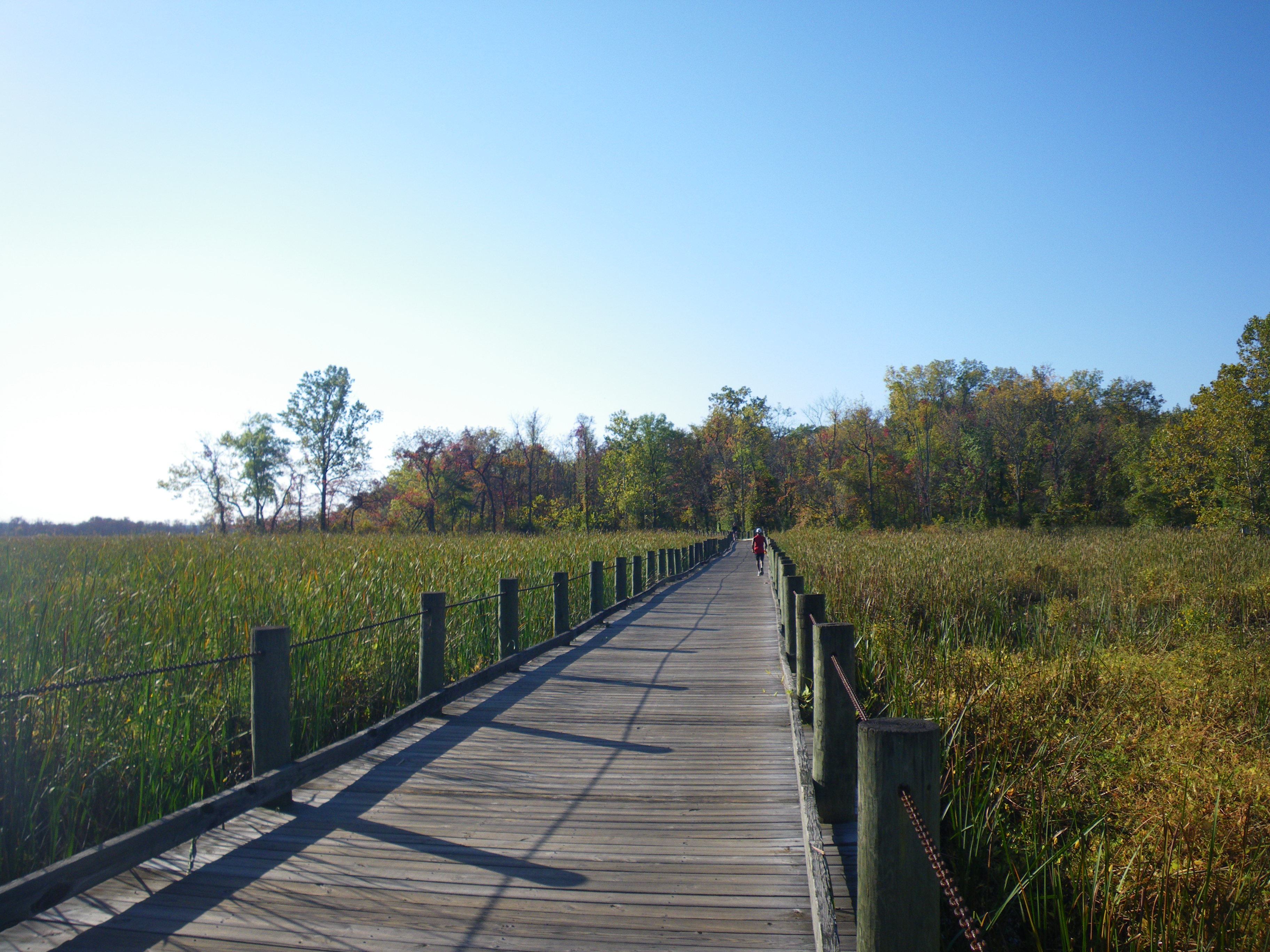
boardwalk passing through Dyke Marsh
-
standing in front of Theodore Roosevelt Bridge
-

the beginning of the trail at Mount Vernon
-

watching airplanes take off from Gravelly Point
-

bridge over airport traffic at Reagan National Airport
External links
Categories:- Bike paths in Virginia
- Transportation in Arlington County, Virginia
- Protected areas of Arlington County, Virginia
- Protected areas of Fairfax County, Virginia
- Transportation in Fairfax County, Virginia
- Protected areas of Alexandria, Virginia
- Transportation in Alexandria, Virginia
-


Wikimedia Foundation. 2010.