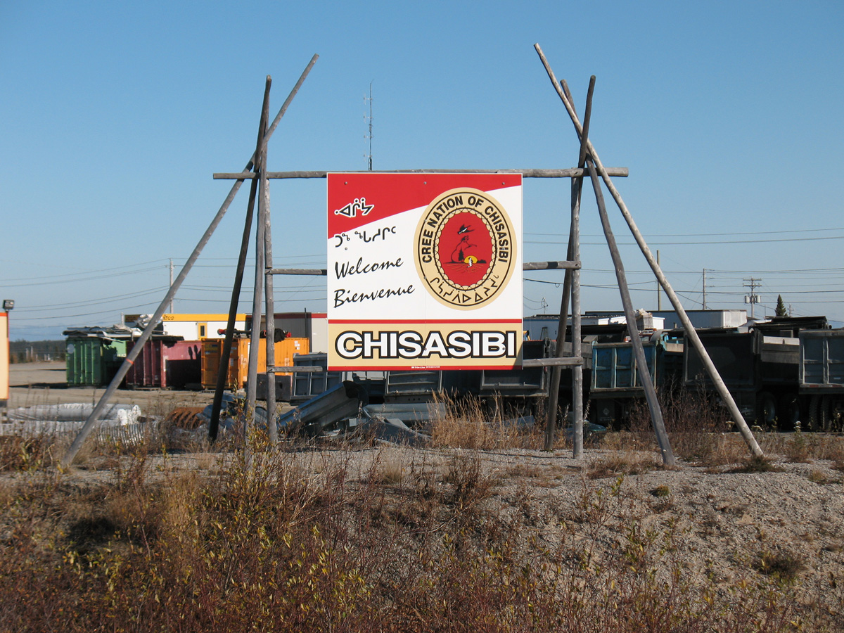
- Chisasibi, Quebec
-
Cree Nation of Chisasibi - ᒋᓴᓯᐱ  Chisasibi (on the Grand River, below Longue Pointe)
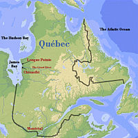
Coordinates: 53°47′00.00″N 78°53′45.00″W / 53.78333°N 78.89583°WCoordinates: 53°47′00.00″N 78°53′45.00″W / 53.78333°N 78.89583°W Country Canada Province Quebec Region Eeyou Istchee Established 1980 ᒋᓴᓯᐱ Government - Type Cree Territory - Chief Abraham Rupert Area - Land 828.18 km2 (319.8 sq mi) Population (2006)[1] - Total 3,972 - Density 4.8/km2 (12.4/sq mi) Time zone EST (UTC−5) - Summer (DST) EDT (UTC−4) Postal Code J0M Area code(s) 819 Website chisasibi.org Chisasibi (spelled ᒋᓴᓯᐱ in Cree, and meaning Great River) is a village on the eastern shore of James Bay, in the Eeyou Istchee territory in northern Quebec, Canada. It is situated on the south shore of La Grande River (the Grand River), less than 10 km (6.2 mi) from the river's mouth. Chisasibi is one of nine Cree villages in the region, and is a member of the Grand Council of the Crees of Quebec.[2] The territory surrounding Chisasibi is part of the Municipality of Baie-James, of which parts are jointly managed with the Cree Regional Authority.[3]
The surface area of the town is 491.63 square kilometres (189.82 sq mi). The surface area of Chisasibi Cree Territory Category I Land (land exclusively for Cree use) is 828.18 square kilometres (319.76 sq mi).[1]
Contents
History
The Cree have lived in the region for many centuries but were nomadic. In 1803, the Hudson's Bay Company founded Fort George, a trading post on the north shore which was relocated to the largest island in the mouth of La Grande River in 1837. Fort George became a permanent village as the local Cree population abandoned their nomadic way of life in the early 20th century and settled nearby. In 1940, its population was about 750 and grew to almost 2,000 in 1980.[4]
In the mid 1970s, the construction of the James Bay hydro-electric project began, diverting upstream rivers into La Grande watershed, increasing its flow significantly, resulting in erosion of Fort George Island (also called Governor's Island) and disruption to the formation of a solid ice cover in winter.[5] In response, the Quebec Government built a new community on the mainland's south shore, relocating the population and some 200 houses to the new site in 1981. The village was renamed Chisasibi (official name: Cree Nation of Chisasibi). At the same time, the Fort George Relocation Corporation was formed to oversee the relocation.[2][4]
The Cree Nation of Chisasibi
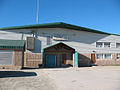
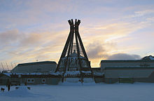 Chisasibi community centre
It is the most northern Cree village accessible by road. A 90 kilometres (56 mi) paved road, running from Radisson, and parallel to the Grand River, connects Chisasibi to the James Bay Road (French: Route de la Baie James).[3] The James Bay Road (formerly part of Route 109) was built from 1971 to 1974 as part of the James Bay hydroelectric project and connects Matagami to Radisson. Chisasibi Airport is located just west of the village and Air Creebec operates scheduled service from this airport. Though this is the most northern village, it's not where the road ends. From LG-1 (The Grand River hydrogenerating station), the road continues north to a location called Longue Pointe (Long Point). It is the furthest one can go by road east of the Hudson Bay.
Many Cree in Chisasibi engage in hunting, trapping, and fishing activities but all catch is meant for local consumption. Other economic activity includes local services (health care and education), employment by Hydro-Québec and some hospitality services. An elected Chief and Council help administer the Cree Nation of Chisasibi Office.
Other Cree villages near Chisasibi are Whapmagoostui, 200 kilometres (120 mi) to the north in Nunavik, on the eastern shore of Hudson Bay near the Northern village of Kuujjuarapik, and Wemindji, about 100 kilometres (62 mi) to the south.
Demographics
The population of Chisasibi comprises approximately 4000 Cree, about 250 Inuit, and 300 non-native people.[6] Statistics Canada's 2006 Census shows a total population of 3,972. The Median age of the population is 24.1 years old, the percentage of the population aged 15 and over is 66.2, and the total number of census families was 960.[1][7]
Population growth:[8]
- Population in 2006: 3972
- Population in 2001: 3467
- 2006 to 2001 change: 14.6%
- Population in 1996: 3251
- Population in 1991: 2306
Total private dwellings (excluding seasonal cottages): 788 (total: 885)
Languages
Cree and Inuit are spoken as the first language in Chisasibi, in addition to English, as a primary language for official dealings.[9] Only 7.8% of the residents of Chisasibi speak one or both of the official languages as a mother tongue.[10] There has been criticism of the Quebec language policy with respect to native languages, particularly Cree, many related to Hydro-Québec's hydroelectric dam project in the James Bay region.
Mother tongues:[11]
- Other as first language (predominantly Cree): 92 %
- English as first language: 4 %
- French as first language: 3.5 %
- English and French as first language:<1 %
Image gallery
-
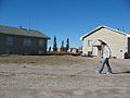
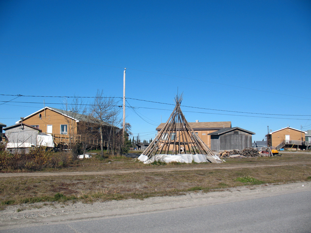
Homes and teepee in Chisasibi
-

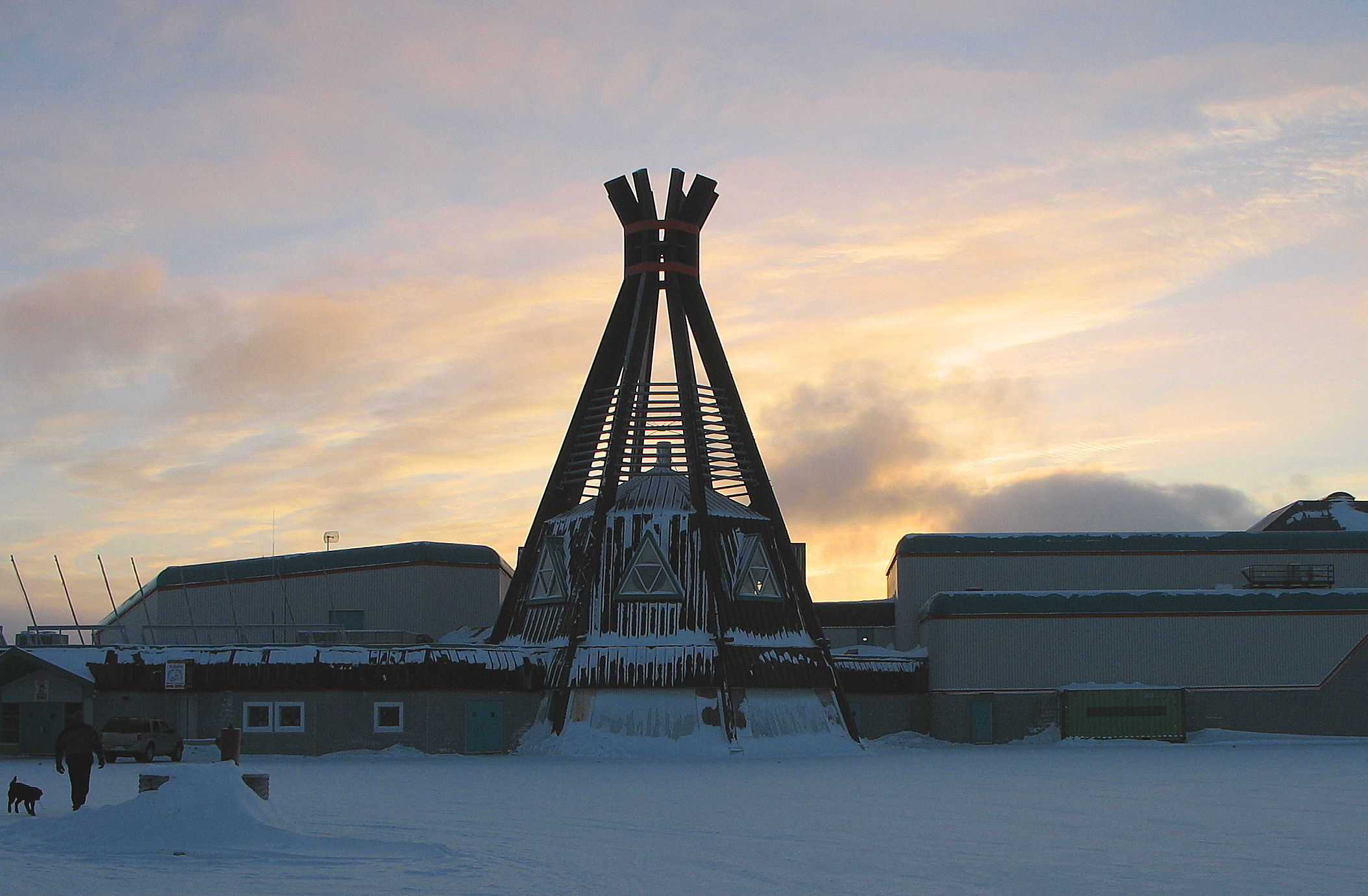
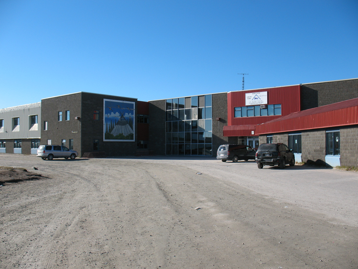
Chisasibi Commercial Centre
-
James Bay Eeyou School
-
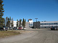
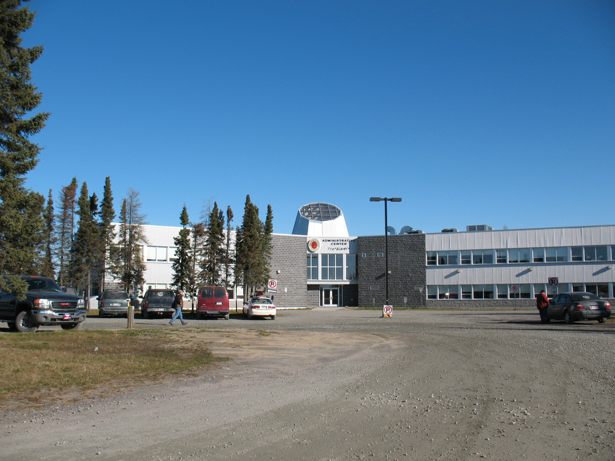
Administrative Centre - Chisasibi
-
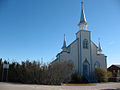
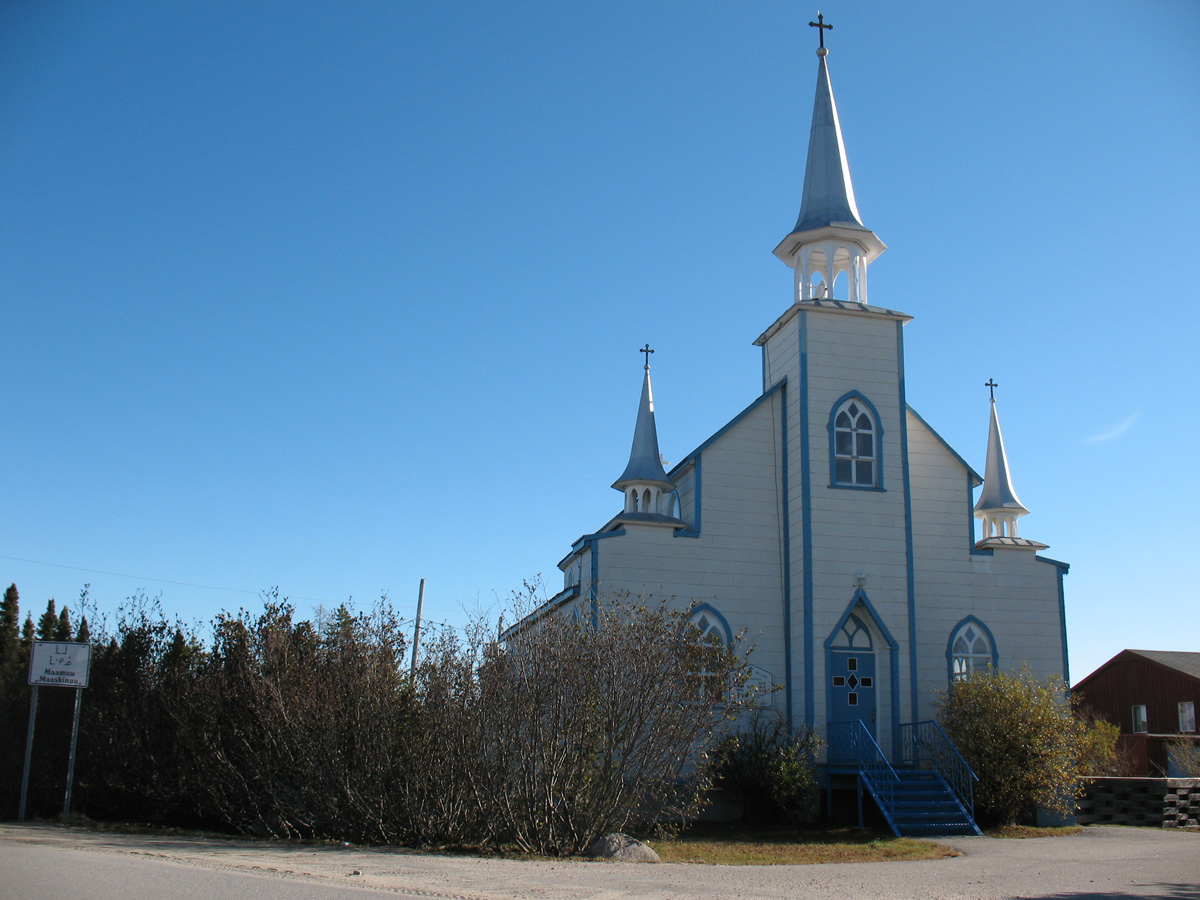
A Church in Chisasibi
-
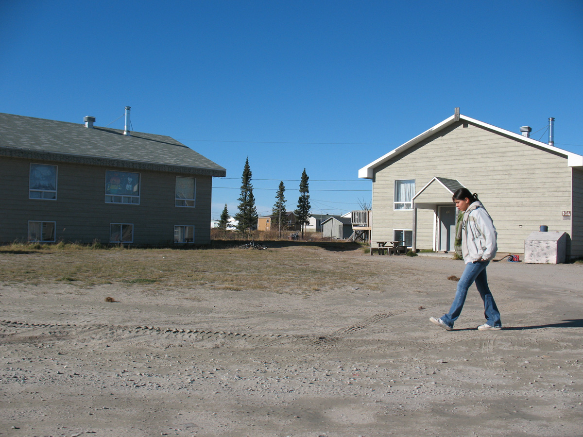
A Cree girl in Chisasibi
-
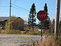
A stop sign in Chisasibi
-
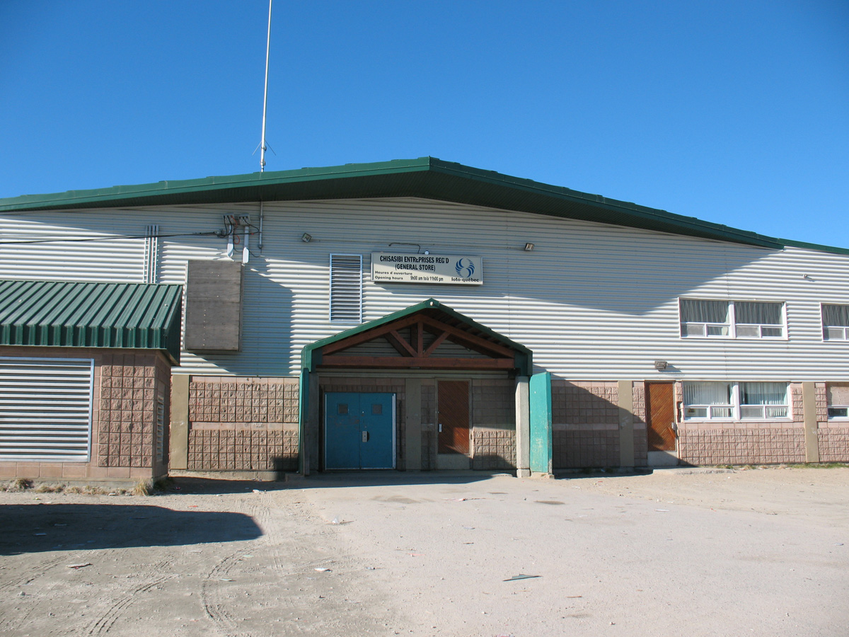
Chisasibi General Store
References
- ^ a b c Statistics Canada: the national statistical agency providing information on Canadian business, economy and society / Statistique Canada - brosse le portrait de l'économie, de la société et des entreprises canadiennes
- ^ a b Cree Culture | Chisasibi
- ^ a b Aboriginal Canada Portal: Connectivity Profile
- ^ a b Cree Nation of Chisasibi: History
- ^ Ottertooth.com
- ^ Cree Nation of Chisasibi: Chief & Council
- ^ Band Details
- ^ Statistics Canada: 1996, 2001, 2006 census
- ^ Languages
- ^ Official Languages Act (Canada)
- ^ Statistics Canada 2006 Census
External links
- Chisasibi Official Website
- Grand Council of the Crees (of Quebec) (English, French, Cree)
- Cree Culture
- Cree Tourism
- Ottertooth - Chisasibi page
- First Nation Connectivity Profile
- Chisasibi and Cree Links
Grand Council of the Crees Chisasibi · Eastmain · Mistissini · Nemaska · Oujé-Bougoumou · Waskaganish · Waswanipi · Wemindji · Whapmagoostui Administrative divisions of Nord-du-Québec (Region 10)
Regional county municipalities
and equivalent territoriesJamésie · Kativik · Eeyou Istchee
See also Kativik Regional Government · Cree Regional Authority (aboriginal administrations)Municipalities Lebel-sur-Quévillon · Waswanipi · Matagami · Chapais · Chibougamau · Mistissini · Waskaganish · Wemindji · Chisasibi · Baie-James · Inukjuak · Kuujjuaq · Puvirnituq · Salluit
Administrative divisions of Quebec Categories:- Cree villages in Quebec
- James Bay
- Hudson's Bay Company trading posts
- Eeyou Istchee


Wikimedia Foundation. 2010.