- Manaoag, Pangasinan
-
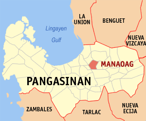
Manaoag — Municipality — Map of Pangasinan showing the location of Manaoag. Location in the Philippines
 Manaoag
Coordinates: 16°02′38″N 120°29′08″E / 16.04389°N 120.48556°ECoordinates: 16°02′38″N 120°29′08″E / 16.04389°N 120.48556°E Country  Philippines
Region Ilocos Region (Region I) Province Pangasinan District 4th District, Pangasinan Founded Barangays 26 Government - Mayor Dr. Napoleon D. Sales Area - Total 55.95 km2 (21.6 sq mi) Population (2007) - Total 62,684 - Density 1,120.4/km2 (2,901.7/sq mi) Time zone PST (UTC+8) ZIP code 2430 Income class 1st class; partially urban Population Census of Manaoag Census Pop. Rate 1995 49,705 — 2000 54,743 2.09% 2007 62,684 1.89% Manaoag is a first class municipality in the province of Pangasinan, Philippines. According to the latest census, it has a population of 62,684 people under 10,563 households.
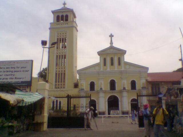
Manaoag is bordered by Pozorrubio in the north, Urdaneta City and Mapandan in the south, Binalonan in the east, and San Jacinto in the west. The town is famous for enshrining a 17th century wooden statue of the Blessed Virgin Mary under the title Basilica of Our Lady of the Rosary of Manaoag.
 The church in Manaoag. Legend has it that a young man encountered Virgin Mary under the title Our Lady of Manaoag who told him to have the church built.
Barangays
Categories:- Metro Dagupan
- Municipalities of Pangasinan

Wikimedia Foundation. 2010.