- Marion, Grant County, Wisconsin
-
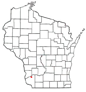
Marion, Wisconsin — Town — Location of Marion, Wisconsin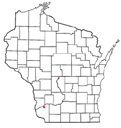
Coordinates: 43°4′31″N 90°43′26″W / 43.07528°N 90.72389°WCoordinates: 43°4′31″N 90°43′26″W / 43.07528°N 90.72389°W Country United States State Wisconsin County Grant Area – Total 35.7 sq mi (92.5 km2) – Land 35.4 sq mi (91.8 km2) – Water 0.3 sq mi (0.8 km2) Elevation[1] 974 ft (297 m) Population (2000) – Total 517 – Density 14.6/sq mi (5.6/km2) Time zone Central (CST) (UTC-6) – Summer (DST) CDT (UTC-5) FIPS code 55-49350[2] GNIS feature ID 1583655[1] Marion is a town in Grant County, Wisconsin, United States. The population was 517 at the 2000 census.
Geography
According to the United States Census Bureau, the town has a total area of 35.7 square miles (92.5 km²), of which, 35.4 square miles (91.8 km²) of it is land and 0.3 square miles (0.8 km²) of it (0.81%) is water.
Demographics
As of the census[2] of 2000, there were 517 people, 180 households, and 149 families residing in the town. The population density was 14.6 people per square mile (5.6/km²). There were 204 housing units at an average density of 5.8 per square mile (2.2/km²). The racial makeup of the town was 99.23% White, 0.19% African American, 0.19% Asian, 0.39% from other races. Hispanic or Latino of any race were 1.16% of the population.
There were 180 households out of which 45.0% had children under the age of 18 living with them, 70.6% were married couples living together, 6.7% had a female householder with no husband present, and 17.2% were non-families. 12.2% of all households were made up of individuals and 1.7% had someone living alone who was 65 years of age or older. The average household size was 2.87 and the average family size was 3.11.
In the town the population was spread out with 29.6% under the age of 18, 8.7% from 18 to 24, 30.6% from 25 to 44, 20.5% from 45 to 64, and 10.6% who were 65 years of age or older. The median age was 32 years. For every 100 females there were 117.2 males. For every 100 females age 18 and over, there were 110.4 males.
The median income for a household in the town was $33,750, and the median income for a family was $33,750. Males had a median income of $22,614 versus $19,107 for females. The per capita income for the town was $12,942. About 8.2% of families and 8.5% of the population were below the poverty line, including 9.1% of those under age 18 and 10.4% of those age 65 or over.
References
- ^ a b "US Board on Geographic Names". United States Geological Survey. 2007-10-25. http://geonames.usgs.gov. Retrieved 2008-01-31.
- ^ a b "American FactFinder". United States Census Bureau. http://factfinder.census.gov. Retrieved 2008-01-31.
Municipalities and communities of Grant County, Wisconsin Cities Boscobel | Cuba City‡ | Fennimore | Lancaster | Platteville

Villages Bagley | Bloomington | Blue River | Cassville | Dickeyville | Hazel Green‡ | Livingston‡ | Montfort‡ | Mount Hope | Muscoda‡ | Patch Grove | Potosi | Tennyson | Woodman
Towns Beetown | Bloomington | Boscobel | Cassville | Castle Rock | Clifton | Ellenboro | Fennimore | Glen Haven | Harrison | Hazel Green | Hickory Grove | Jamestown | Liberty | Lima | Little Grant | Marion | Millville | Mount Hope | Mount Ida | Muscoda | North Lancaster | Paris | Patch Grove | Platteville | Potosi | Smelser | South Lancaster | Waterloo | Watterstown | Wingville | Woodman | Wyalusing
CDPs Glen Haven | Kieler | Sandy Hook
Unincorporated
communitiesAnnaton | Arthur | Bigpatch | British Hollow | Brodtville | Burton | Centerville | Cornelia | Ellenboro | Elmo | Fair Play | Five Points | Flora Fountain | Georgetown | Hickory Grove | Hurricane | Lancaster Junction | Louisburg | McCartney | Millville | Mount Ida | Prairie Corners | Rockville | Rutledge | Saint Rose | Sinsinawa | Stitzer | Union | Wyalusing
Footnotes ‡This populated place also has portions in an adjacent county or counties
Categories:- Towns in Grant County, Wisconsin

Wikimedia Foundation. 2010.