- Colorado State Highway 82
-
State Highway 82
Route information Maintained by CDOT Length: 85.29 mi[1] (137.26 km) Major junctions North end:  I-70 in Glenwood Springs
 SH 133 near Carbondale
East end:  U.S. Highway 24 near Granite
Highway system ←  SH 79
SH 79SH 83  →
→State Highway 82 is an 85.29 mile (137.26 km) long state highway in the U.S. state of Colorado.
Route description
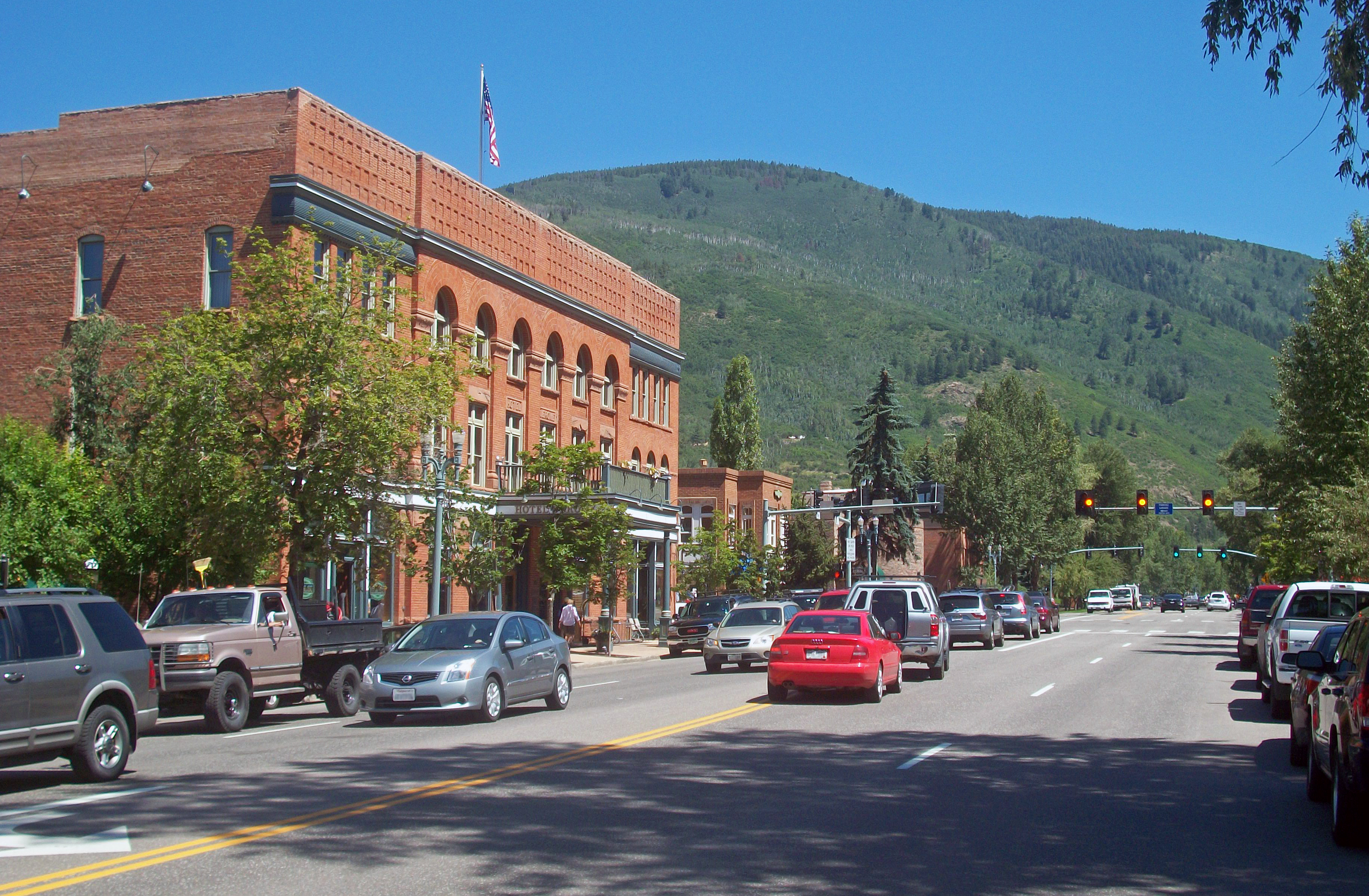
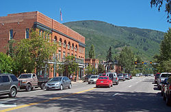 Main Street in Aspen
 Highway 82 just east of Independence Pass
SH 82 provides the principal transportation artery of the Roaring Fork Valley on the Colorado Western Slope, running from Interstate 70 at Glenwood Springs southeast past Carbondale, Basalt and Aspen. Southeast of Aspen it climbs to 12,095 ft (3,687 m) on a 6% grade at Independence Pass (open late May–October) before passing through Twin Lakes and descending to meet U.S. Highway 24 south of Leadville in the Arkansas River valley. At its northwestern end it furnishes the principal vehicle access between most of Colorado and the Aspen/Snowmass resorts. Recently widened to four-lanes along the 50 mile (80 km) section between Glenwood Springs and Aspen, it is heavily used commuting route for day workers between bedroom communities in the lower valley and the resort community of Aspen. In addition to its termini at Interstate 70 and U.S. 24, at Carbondale it intersects State Highway 133, which furnishes a route over McClure Pass to the North Fork Valley near Paonia. The highway roughly follows the Roaring Fork River along its entire route, offering scenic views of Mount Sopris in the lower end of the valley. The Roaring Fork Transit Authority provides well-used public transportation along the highway between Glenwood Springs and Aspen.
Major intersections
County Location Mile Destination Notes Garfield Glenwood Springs 0.00 I-70Interchange Carbondale 11.69 SH 133Eagle No major junctions in Eagle County Pitkin No major junctionsin Pitkin County Lake 85.29 US 241.000 mi = 1.609 km; 1.000 km = 0.621 mi References
Categories:- Roaring Fork Valley
- State highways in Colorado
- Transportation in Garfield County, Colorado
- Transportation in Eagle County, Colorado
- Transportation in Pitkin County, Colorado
- Transportation in Lake County, Colorado


Wikimedia Foundation. 2010.