Langwith, Derbyshire — Langwith is a close group of four villages crossing the Derbyshire Nottinghamshire border, on the river Poulter only about two miles from Warsop, and about four miles from Bolsover, on the A632 road, south of Whaley Thorns.These consist of… … Wikipedia
Langwith — may refer to: *Langwith, Derbyshire *Langwith College, part of the University of York, England *Langwith Junction, Derbyshire*Nether Langwith, Nottinghamshire … Wikipedia
Langwith-Whaley Thorns railway station — Infobox UK station name = Langwith Whaley Thorns code = LAG manager = East Midlands Trains locale = Nether Langwith borough = Bolsover lowusage0405 = 30,108 lowusage0506 = 28,217 lowusage0607 = 25,769 platforms = start = May 1998Langwith Whaley… … Wikipedia
River Poulter — River The ford at Crookford, where a track crosses the Poulter … Wikipedia
Robin Hood Line — The Robin Hood Line is a railway line running from Nottingham to Worksop, Nottinghamshire. The stations between Shirebrook and Whitwell (inclusive) are in Derbyshire.The towns and villages served by the route are listed below: *Nottingham… … Wikipedia
Whaley Thorns — is a former colliery village in Bolsover (district), Derbyshire, close to the Nottinghamshire border. Whaley Thorns lies just north of Nether Langwith and Langwith, 1.5 miles south east of Creswell, and west of Cuckney.The village takes its name… … Wikipedia
List of places in Nottinghamshire — This is a list of settlements in the ceremonial county of Nottinghamshire, England. See the list of places in England for places in other counties.compactTOC NOTOC AAlverton, Annesley, Annesley Woodhouse, Arnold, Askham, Aslockton, Aspley,… … Wikipedia
List of civil parishes in Nottinghamshire — This is a list of civil parishes in the ceremonial county of Nottinghamshire, England.AshfieldMost of the district: that is the former urban districts of Hucknall, Kirkby in Ashfield, and Sutton in Ashfield is unparished.*Annesley 1 *Felley 1… … Wikipedia
Bassetlaw (wapentake) — Bassetlaw was a wapentake (equivalent to a hundred) in the English county of Nottinghamshire. The wapentake covered an area in the north of the county, roughly equivalent to the modern Bassetlaw local government district. The wapentake was… … Wikipedia
List of bus routes in Derbyshire — A map of the area these services operate in. This is a list of bus routes in Derbyshire. The major bus operators in the Derbyshire area are Arriva Midlands and Trent Barton. Other operators in Derbyshire are Bowers, Hulleys of Baslow, Notts Derby … Wikipedia
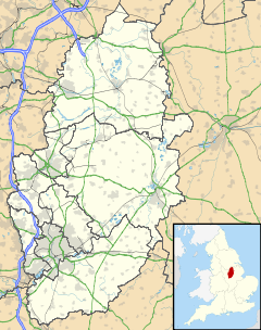
 Nether Langwith
 Media related to Nether Langwith at Wikimedia CommonsCategories: