- Oceana, West Virginia
-
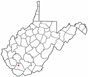
Oceana, West Virginia — Town — Location of Oceana, West Virginia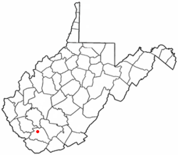
Coordinates: 37°41′35″N 81°38′4″W / 37.69306°N 81.63444°WCoordinates: 37°41′35″N 81°38′4″W / 37.69306°N 81.63444°W Country United States State West Virginia County Wyoming Area – Total 1.3 sq mi (3.5 km2) – Land 1.3 sq mi (3.5 km2) – Water 0.0 sq mi (0.0 km2) Elevation 1,263 ft (385 m) Population (2000) – Total 1,550 – Density 1,163.4/sq mi (449.2/km2) Time zone Eastern (EST) (UTC-5) – Summer (DST) EDT (UTC-4) ZIP code 24870 Area code(s) 304 FIPS code 54-60364[1] GNIS feature ID 1544323[2] Oceana is a town in Wyoming County, West Virginia, United States. The population was 1,550 at the 2000 census.
Contents
History
Established in 1797 by early settler and Revolutionary War veteran John Cooke, it was county seat of Wyoming County until 1907, Oceana, when Pineville was designated after a series of disputed elections.[3]
Geography
Oceana is located at 37°41′35″N 81°38′4″W / 37.69306°N 81.63444°W (37.692976, -81.634386)[4].
According to the United States Census Bureau, the town has a total area of 1.3 square miles (3.4 km²), all land.
Demographics
As of the census[1] of 2000, there were 1,550 people, 660 households, and 460 families residing in the town. The population density was 1,163.4 inhabitants per square mile (450.0/km²). There were 739 housing units at an average density of 554.7 per square mile (214.5/km²). The racial makeup of the town was 98.65% White, 0.06% Native American, and 1.29% from two or more races. Hispanic or Latino of any race were 0.32% of the population.
There were 660 households out of which 30.2% had children under the age of 18 living with them, 52.0% were married couples living together, 14.5% had a female householder with no husband present, and 30.2% were non-families. 28.6% of all households were made up of individuals and 13.0% had someone living alone who was 65 years of age or older. The average household size was 2.35 and the average family size was 2.86.
In the town the population was spread out with 24.1% under the age of 18, 8.3% from 18 to 24, 26.7% from 25 to 44, 25.5% from 45 to 64, and 15.3% who were 65 years of age or older. The median age was 40 years. For every 100 females there were 86.5 males. For every 100 females age 18 and over, there were 80.1 males.
The median income for a household in the town was $19,273, and the median income for a family was $25,938. Males had a median income of $36,016 versus $15,583 for females. The per capita income for the town was $11,925. About 27.2% of families and 33.5% of the population were below the poverty line, including 50.6% of those under age 18 and 19.7% of those age 65 or over.
References
- ^ a b "American FactFinder". United States Census Bureau. http://factfinder.census.gov. Retrieved 2008-01-31.
- ^ "US Board on Geographic Names". United States Geological Survey. 2007-10-25. http://geonames.usgs.gov. Retrieved 2008-01-31.
- ^ unknown (October 22, 2010). "The West Virginia Encyclopedia: Pineville". West Virginia Humanities Council. http://www.wvencyclopedia.org/articles/1858. Retrieved 2011-07-23.
- ^ "US Gazetteer files: 2010, 2000, and 1990". United States Census Bureau. 2011-02-12. http://www.census.gov/geo/www/gazetteer/gazette.html. Retrieved 2011-04-23.
External links
Municipalities and communities of Wyoming County, West Virginia City 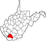
Towns Oceana | Pineville
CDPs Brenton | Bud | Corinne | Covel | Glen Fork | Itmann | Kopperston | Matheny | New Richmond
Unincorporated
communitiesAllen Junction | Alpoca | Beechwood | Black‡ | Black Eagle | Campus | Clear Fork | Coal Mountain | Cyclone | Fanny | Fanrock | Garwood | Glen Rogers | Glover | Hanover | Herndon | Ikes Fork | Jesse | Key Rock | Lacoma | Lamar‡ | Lillydale | Long Branch | Lynco | Maben | Marianna | McGraws | Milam | Mullensville | North Spring | Otsego | Pierpont | Ravencliff | Rock View | Sabine | Saulsville | Simon | Stephenson | Tralee | Uno | Windom | Wolf Pen | Wyco | Wyoming
Footnotes ‡This populated place also has portions in an adjacent county or counties
Categories:- Towns in West Virginia
- Populated places in Wyoming County, West Virginia

Wikimedia Foundation. 2010.