- Monroe, Utah
-
Monroe — City — Welcome sign at the northern entrance to Monroe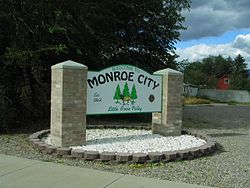

SealNickname(s): The Little Green Valley Location within the state of Utah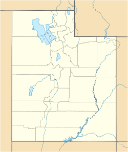
 Monroe
Coordinates: 38°37′46″N 112°7′13″W / 38.62944°N 112.12028°WCoordinates: 38°37′46″N 112°7′13″W / 38.62944°N 112.12028°W Country United States State Utah County Sevier Settled 1864 Incorporated 1920 Named for James Monroe Area – Total 3.5 sq mi (9.2 km2) – Land 3.5 sq mi (9.2 km2) – Water 0.0 sq mi (0.0 km2) Elevation 5,394 ft (1,644 m) Population (2010) – Total 2,256 – Density 598.1/sq mi (206.5/km2) Time zone Mountain (MST) (UTC-7) – Summer (DST) MDT (UTC-6) ZIP code 84754 Area code(s) 435 FIPS code 49-51360[1] GNIS feature ID 1443556[2] Monroe is a city in Sevier County, Utah, United States. The population was 2,256 at the 2010 United States Census. The city is home to both Mystic Hot Springs and South Sevier High School.
Contents
Geography
Monroe is located in rural central Utah, at 38°37′46″N 112°7′13″W / 38.62944°N 112.12028°W (38.629338, -112.120275).[3] According to the United States Census Bureau, the city has a total area of 3.5 square miles (9.2 km²), all of it land. Monroe is bordered by mountains on the east and south, and farmers fields to the west and north.
Monroe is home to naturally occurring hot springs with travertine deposits, a result of the Monroe-Red Hill geothermal system found along the Sevier fault.[4] On the east side of town, hot water surfaces at a temperature of 168°F and a rate of about 200 gallons per minute. A travertine mound has formed, known as the Monroe Mound. This deposit stretches one mile across, 200 yards wide, and a few hundred feet thick. There is another hot water source about a mile north of town called the Red Hill Hot Springs. It also surfaces at 168°F, but at a rate of about 100 gallons per minute. The Red Hill mound is about one-third of a mile across, and deep red in color.
Demographics
Historical populations Census Pop. %± 1890 880 — 1900 1,057 20.1% 1910 1,227 16.1% 1920 1,719 40.1% 1930 1,247 −27.5% 1940 1,292 3.6% 1950 1,214 −6.0% 1960 955 −21.3% 1970 918 −3.9% 1980 1,476 60.8% 1990 1,472 −0.3% 2000 1,845 25.3% 2010 2,256 22.3% As of the census[1] of 2000, there were 1,845 people, 707 households, and 480 families residing in the Monroe. The population density was 521.7 people per square mile (201.2/km²). There were 707 housing units at an average density of 199.9 per square mile (77.1/km²). The racial makeup of the city was 95.83% White, 0.22% African American, 1.41% Native American, 0.27% Asian, 0.11% Pacific Islander, 0.65% from other races, and 1.52% from two or more races. Hispanic or Latino of any race were 5.69% of the population.
There were 636 households out of which 37.3% had children under the age of 18 living with them, 69.5% were married couples living together, 8.2% had a female householder with no husband present, and 19.5% were non-families. 18.4% of all households were made up of individuals and 11.6% had someone living alone who was 65 years of age or older. The average household size was 2.90 and the average family size was 3.31.
In the city the population was spread out with 32.2% under the age of 18, 8.1% from 18 to 24, 21.2% from 25 to 44, 23.0% from 45 to 64, and 15.4% who were 65 years of age or older. The median age was 36 years. For every 100 females there were 90.0 males. For every 100 females age 18 and over, there were 89.0 males.
The median income for a household in the city was $34,907, and the median income for a family was $37,415. Males had a median income of $31,797 versus $17,981 for females. The per capita income for the city was $14,331. About 5.0% of families and 7.7% of the population were below the poverty line, including 7.4% of those under age 18 and 8.1% of those age 65 or over.
History
A few early, exploratory settlers came to Monroe in late 1863. They were followed by the first permanent group of settlers, who arrived in Monroe during February 1864.[5] Most, if not all, of the first Settlers were members of The Church of Jesus Christ of Latter-day Saints, who had immigrated to Utah. At first the town was called South Bend (due to the proximity to a bend in the Sevier River), but soon after its settlement it was renamed Alma, in honor of the Book of Mormon prophet. It is estimated that by the end of 1864 around 20 families were living in Alma. They spent the first year building small homes and dugouts, along with clearing space for fields and pastures.[6]
In April 1865 the Black Hawk War broke out between local Native Americans and the Settlers of both the Sevier and Sanpete Counties. The war drastically ended the progress which was being made in creating farms and homes in and around Alma.[6]
Alma had been settled in the middle of the Native American’s hunting grounds and as a result they started to go hungry. During the war Native Americans were constantly trying to steal the Settler’s stock for food, and they were successful during several raids.
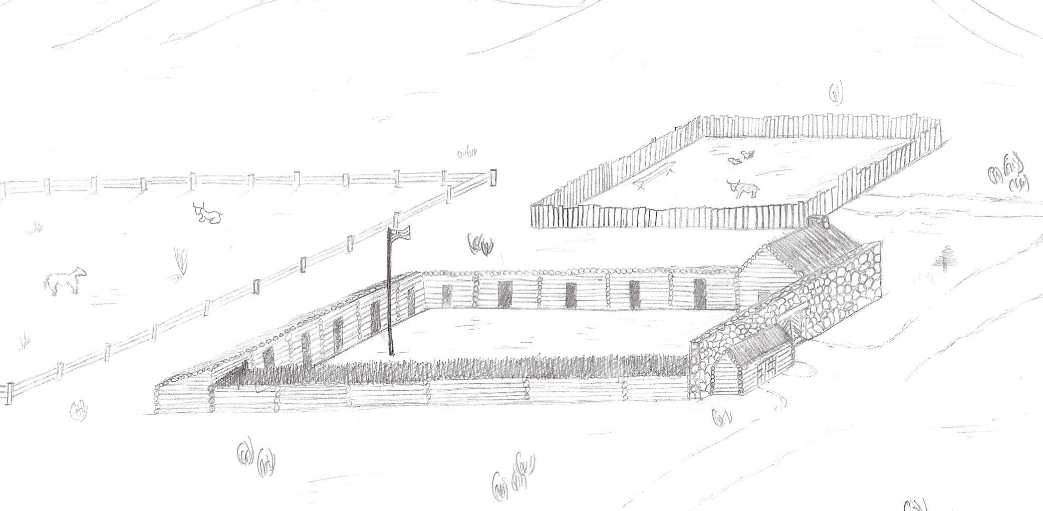
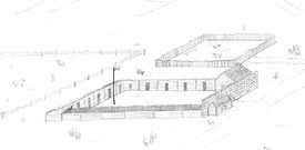 An artist’s interpretation of what Fort Alma may have looked like.
Sometime during 1865 work began on a fort to provide protect for both the Setters and their stock. The fort was completed and contained several homes, a blacksmith shop, along with a corral and stockyard for the animals. This fort, named Fort Alma, provided protection for about two years, but things continued to get more dangerous and in April 1867 the Settlers of Alma were evacuated. Most of the evacuees made temporary homes in Sanpete County, until they could return home.
An attempt to resettle Alma was made during 1868, but the Settlers ran into Native Americans near Cedar Ridge (now Vermillion, Utah) and a battle ensued. They were unsuccessful in resettling Alma, and it was not until March 1871 that Settlers were finally able to return to Alma. The following year they applied for a Post Office under the city name of Monroe, in honor of U.S. President James Monroe. By the end of 1872 the telegraph had been extended through Monroe, which connected it with the rest of Utah. In 1889 Monroe was incorporated as a town and remained that way until 1921 when it was incorporated as a city.[6]
History of Monroe Hot Springs
In 1882, Thomas Cooper and his wife homesteaded the area on the east side of town where hot springs water emerged. They built a wood box to collect the water and offered it as a soaking pool. Later, around 1905, a building was erected. There was a dance floor, an indoor swimming pool, and many dressing rooms. Many people came from miles around by horse and buggy to enjoy soaking and dancing. In 1930 Farnsworth bought the hot springs. He was the leader of a band, and it became the house band. The slogan for the Monroe hot springs was, "the home of mirth and merriment".[7] The hot springs enjoyed many years of prosperity until around 1950. The site is currently known as Mystic Hot Springs.
Monroe Today
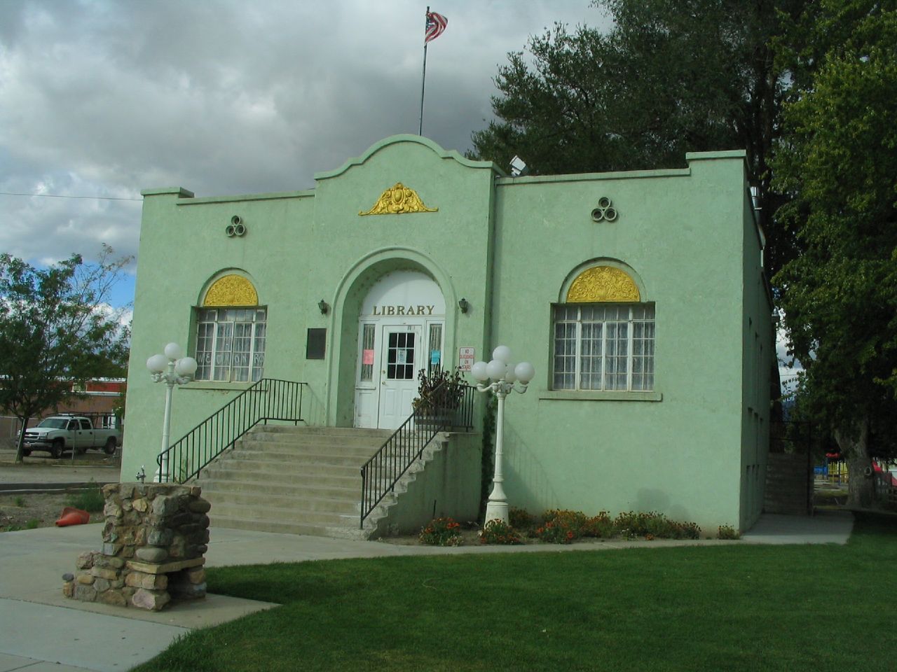
 Monroe City Library
Monroe currently has a Texaco Gas Station, a Do-it Best Hardware, Sagebrush Grill Steak House, Bullies Drive-In, Monroe Main Center (Guitar dealer and movie rentals), a dentist, and a dance studio. Monroe also has many new subdivisions. Today Monroe is also nicknamed "The Little Green Valley" due to the many fields that surround the city.
Education
The schools for most of the surrounding areas are also located in Monroe, which has an Elementary School (Monroe Elementary), Middle School, and High School (South Sevier High School). School age children are traditionally bused from the neighboring towns of Central Valley, Annabella, Elsinore, Joseph and Sevier to Monroe to attend school. Navajo placement students are also traditionally bused to the schools from a dormitory in Richfield.
Notable Residents
- The Michelsen Family immigrated from Denmark in 1882 and moved to Monroe where they had seven children as well as their oldest daughter who was born in Denmark. The family was than called on a mission in 1900 to help build an irrigation canal and establish the community of Stirling, Alberta. Their original house still remains and has now been turned into a interpretive center known as the Michelsen Farmstead a living museum in Stirling.
See also
References
- ^ a b "American FactFinder". United States Census Bureau. http://factfinder.census.gov. Retrieved 2008-01-31.
- ^ "US Board on Geographic Names". United States Geological Survey. 2007-10-25. http://geonames.usgs.gov. Retrieved 2008-01-31.
- ^ "US Gazetteer files: 2010, 2000, and 1990". United States Census Bureau. 2011-02-12. http://www.census.gov/geo/www/gazetteer/gazette.html. Retrieved 2011-04-23.
- ^ http://pangea.stanford.edu/ERE/pdf/IGAstandard/SGW/1979/Harrison.pdf DEVELOPMENT AND TESTING OF A SMALL MODERATE TEMPERATURE GEOTHERMAL SYSTEM
- ^ Murdock, Wilford (1964). Monroe, Utah: Its First One Hundred Years. Monroe: Monroe Centennial Committee and Monroe City.
- ^ a b c "Early History of Monroe, Utah". Monroe, Utah History Online. http://www.monroehistory.com/early-history.html. Retrieved August 29, 2009.[dead link]
- ^ Murdock, Wilford (1964). Monroe, Utah: Its First One Hundred Years. Monroe: Monroe Centennial Committee and Monroe City. pp. 62–63.
External links
Municipalities and communities of Sevier County, Utah Cities 
Towns Unincorporated
communityCategories:- Cities in Utah
- Hot springs of Utah
- Populated places in Sevier County, Utah
- Populated places established in 1864
- Landforms of Sevier County, Utah


Wikimedia Foundation. 2010.