- Circleville, Utah
-
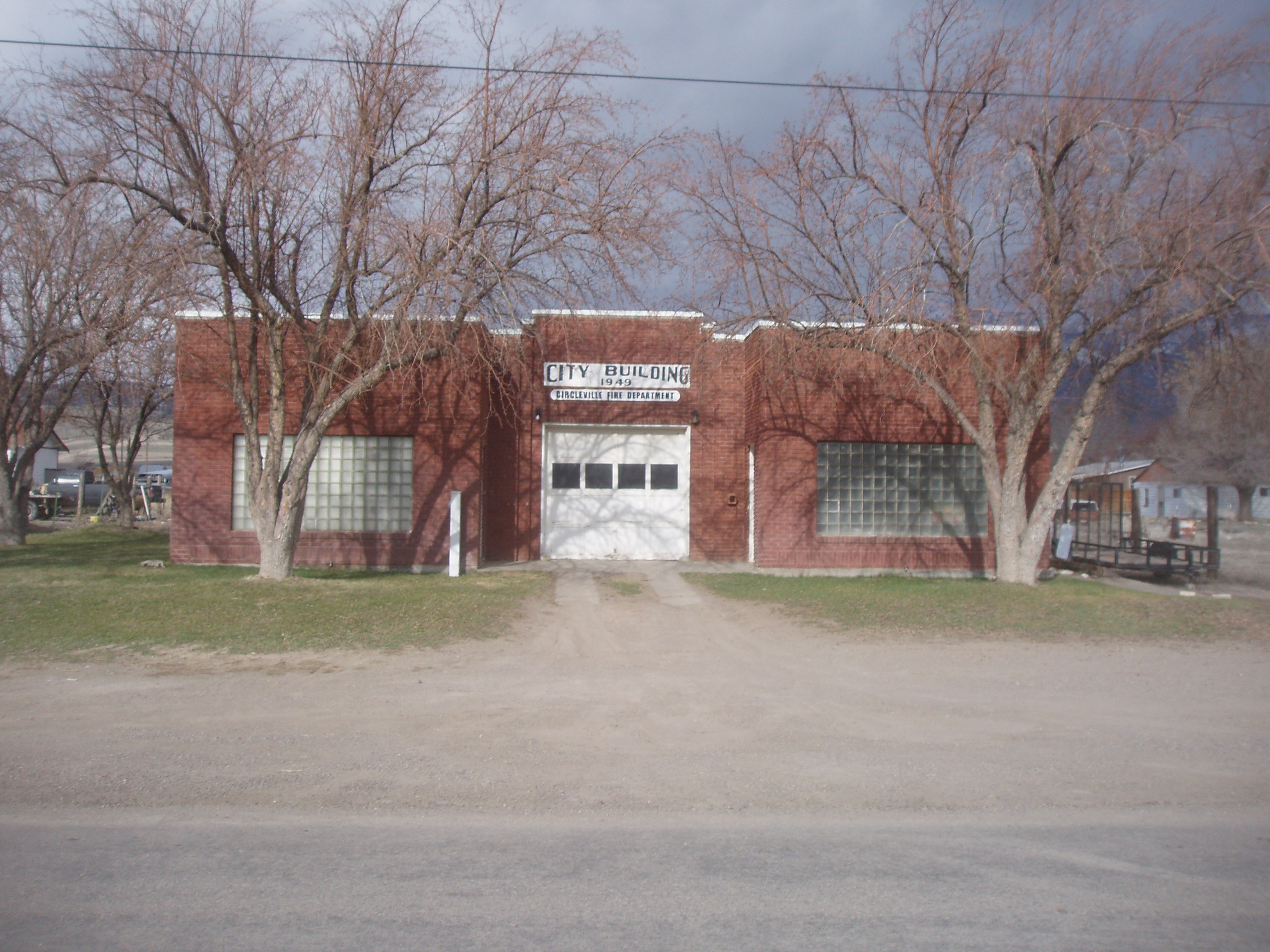
Circleville, Utah — Town — Circleville fire station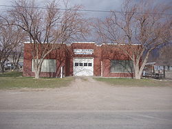 Location of Circleville, Utah
Coordinates: 38°10′13″N 112°16′18″W / 38.17028°N 112.27167°WCoordinates: 38°10′13″N 112°16′18″W / 38.17028°N 112.27167°W Country United States State Utah County Piute Founded 1864 Incorporated August 24, 1921 Founder William Allred Area – Total 9.1 sq mi (23.5 km2) – Land 9.1 sq mi (23.5 km2) – Water 0.0 sq mi (0.0 km2) Elevation 6,066 ft (1,849 m) Population (2000) – Total 505 – Density 55.7/sq mi (21.5/km2) Time zone Mountain (MST) (UTC-7) – Summer (DST) MDT (UTC-6) ZIP code 84723 Area code(s) 435 FIPS code 49-12970[1] GNIS feature ID 1439749[2] Circleville is a town in Piute County, Utah, United States. The population was 505 at the 2000 census.
Contents
Geography
Circleville is located at 38°10′13″N 112°16′18″W / 38.17028°N 112.27167°W (38.170173, -112.271682).[3]
According to the United States Census Bureau, the town has a total area of 9.1 square miles (23.5 km²), all of it land.
History
Circleville was originally settled in 1864.[4] The town was named for the shape of the valley in which it is located, Circle Valley. The valley is completely circled by mountains except where the Sevier River goes in and out of the valley on the north and south.
On Jun 28th, 1866, the town was abandoned by the original settlers.[5] A few settlers began to trickle back into the area in 1873 [6] and the town was re-established in 1874 when Charles Wakeman Dalton crossed the mountain from Beaver with two of his wives and family.
Circleville became an incorporated community on 24 August 1921. Local residents were interested in facilitating the public services which municipal government provides, and they were particularly interested in building a culinary water system.[6]
Demographics
Historical populations Census Pop. %± 1880 416 — 1890 458 10.1% 1900 538 17.5% 1910 523 −2.8% 1920 586 12.0% 1930 435 −25.8% 1940 683 57.0% 1950 603 −11.7% 1960 478 −20.7% 1970 443 −7.3% 1980 445 0.5% 1990 417 −6.3% 2000 505 21.1% 2010 547 8.3% As of the census[1] of 2000, there were 505 people, 172 households, and 132 families residing in the town. The population density was 55.7 people per square mile (21.5/km²). There were 222 housing units at an average density of 24.5 per square mile (9.5/km²). The racial makeup of the town was 97.23% White, 0.20% African American, 0.40% Native American, 0.20% Asian, 0.20% Pacific Islander, 0.99% from other races, and 0.79% from two or more races. Hispanic or Latino of any race were 4.36% of the population.
There were 172 households out of which 37.2% had children under the age of 18 living with them, 68.0% were married couples living together, 5.8% had a female householder with no husband present, and 22.7% were non-families. 22.1% of all households were made up of individuals and 14.5% had someone living alone who was 65 years of age or older. The average household size was 2.94 and the average family size was 3.45.
In the town the population was spread out with 34.7% under the age of 18, 5.9% from 18 to 24, 18.4% from 25 to 44, 23.2% from 45 to 64, and 17.8% who were 65 years of age or older. The median age was 37 years. For every 100 females there were 98.8 males. For every 100 females age 18 and over, there were 98.8 males.
The median income for a household in the town was $32,083, and the median income for a family was $36,875. Males had a median income of $25,536 versus $19,063 for females. The per capita income for the town was $12,919. About 8.7% of families and 12.8% of the population were below the poverty line, including 15.2% of those under age 18 and 12.5% of those age 65 or over.
Notable residents
Robert Leroy Parker, alias Butch Cassidy, spent his childhood in Circleville. He grew up in a small cabin, just south of Circleville, between Richfield and Panguitch on Highway 89 [1].
Carrie Allen, born in Circleville in 1889. who was a spinster and a school teacher. She wrote a History of Circleville. She died in 1983 in Circleville.
Sources
- ^ a b "American FactFinder". United States Census Bureau. http://factfinder.census.gov. Retrieved 2008-01-31.
- ^ "US Board on Geographic Names". United States Geological Survey. 2007-10-25. http://geonames.usgs.gov. Retrieved 2008-01-31.
- ^ "US Gazetteer files: 2010, 2000, and 1990". United States Census Bureau. 2011-02-12. http://www.census.gov/geo/www/gazetteer/gazette.html. Retrieved 2011-04-23.
- ^ Jenson, Andrew. Encyclopedic History of the Church of Jesus Christ of Latter-day Saints. (Salt Lake City: Deseret News Press, 1941) p. 141
- ^ Indian depredations in Utah p. 220
- ^ a b Utah State Archives"
External links
Municipalities and communities of Piute County, Utah Towns 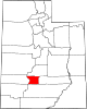
Unincorporated
communitiesGhost towns Alunite | Kimberly
Categories:- Populated places in Piute County, Utah
- Towns in Utah
- Populated places established in 1864

Wikimedia Foundation. 2010.