- Olton, Texas
-
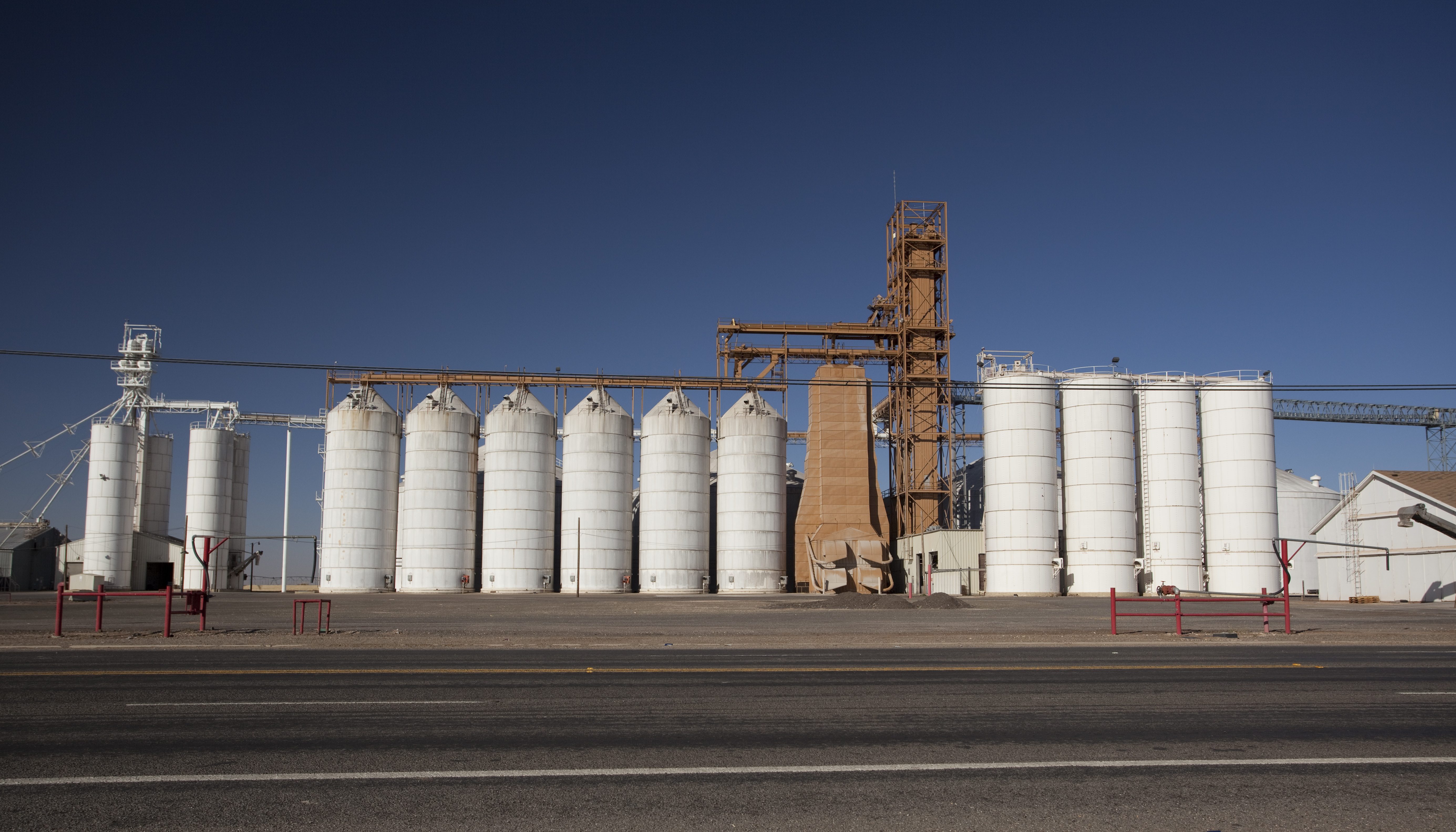
Olton, Texas — City — Row of grain silos in Olton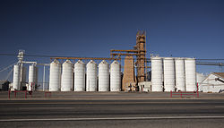 Location of Olton, Texas
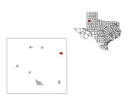
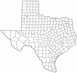
Coordinates: 34°10′50″N 102°8′8″W / 34.18056°N 102.13556°WCoordinates: 34°10′50″N 102°8′8″W / 34.18056°N 102.13556°W Country United States State Texas County Lamb Area – Total 1.4 sq mi (3.5 km2) – Land 1.4 sq mi (3.5 km2) – Water 0.0 sq mi (0.0 km2) Elevation 3,612 ft (1,101 m) Population (2000) – Total 2,288 – Density 1,683.8/sq mi (650.1/km2) Time zone Central (CST) (UTC-6) – Summer (DST) CDT (UTC-5) ZIP code 79064 Area code(s) 806 FIPS code 48-54012[1] GNIS feature ID 1364542[2] Olton is a city in Lamb County, Texas, United States. The population was 2,288 at the 2000 census.
Contents
Geography
Olton is located at 34°10′50″N 102°8′8″W / 34.18056°N 102.13556°W (34.180614, -102.135592)[3].Olton was founded in 1906
According to the United States Census Bureau, the city has a total area of 1.4 square miles (3.6 km2), all of it land.
Demographics
As of the census[1] of 2000, there were 2,288 people, 742 households, and 571 families residing in the city. The population density was 1,683.8 people per square mile (649.6/km²). There were 852 housing units at an average density of 627.0 per square mile (241.9/km²). The racial makeup of the city was 66.56% White, 2.01% African American, 1.31% Native American, 0.09% Asian, 27.49% from other races, and 2.53% from two or more races. Hispanic or Latino of any race were 64.51% of the population.
There were 742 households out of which 42.3% had children under the age of 18 living with them, 59.6% were married couples living together, 11.7% had a female householder with no husband present, and 23.% were non-families. 20.9% of all households were made up of individuals and 11.3% had someone living alone who was 65 years of age or older. The average household size was 2.99 and the average family size was 3.47.
In the city the population was spread out with 33.9% under the age of 18, 7.6% from 18 to 24, 23.3% from 25 to 44, 18.7% from 45 to 64, and 16.6% who were 65 years of age or older. The median age was 32 years. For every 100 females there were 97.1 males. For every 100 females age 18 and over, there were 84.2 males.
The median income for a household in the city was $24,010, and the median income for a family was $25,926. Men had a median income of $22,358 versus $18,833 for women. The per capita income for the city was $10,189. About 21.4% of families and 24.9% of the population were below the poverty line, including 28.6% of those under age 18 and 21.8% of those age 65 or over.
Education
The City of Olton is served by the Olton Independent School District.
References
- ^ a b "American FactFinder". United States Census Bureau. http://factfinder.census.gov. Retrieved 2008-01-31.
- ^ "US Board on Geographic Names". United States Geological Survey. 2007-10-25. http://geonames.usgs.gov. Retrieved 2008-01-31.
- ^ "US Gazetteer files: 2010, 2000, and 1990". United States Census Bureau. 2011-02-12. http://www.census.gov/geo/www/gazetteer/gazette.html. Retrieved 2011-04-23.
Municipalities and communities of Lamb County, Texas Cities Amherst | Earth | Littlefield | Olton | Sudan
Town CDP Unincorporated
communityFieldton
Categories:- Cities in Texas
- Populated places in Lamb County, Texas
- Populated places in Texas with Hispanic majority populations


Wikimedia Foundation. 2010.