- Algood, Tennessee
Infobox Settlement
official_name = Algood, Tennessee
settlement_type =Town
nickname =
motto =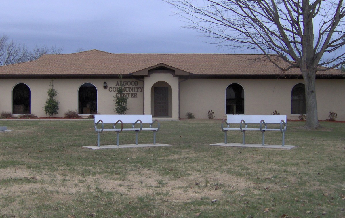
imagesize = 250px
image_caption = Algood Community Center
image_
mapsize = 250x200px
map_caption = Location of Algood, Tennessee
mapsize1 =
map_caption1 =subdivision_type = Country
subdivision_name =United States
subdivision_type1 = State
subdivision_name1 =Tennessee
subdivision_type2 = County
subdivision_name2 = Putnamgovernment_footnotes =
government_type =
leader_title =
leader_name =
leader_title1 =
leader_name1 =
established_title =
established_date =unit_pref = Imperial
area_footnotes =
area_magnitude =
area_total_km2 = 9.9
area_land_km2 = 9.9
area_water_km2 = 0.0
area_total_sq_mi = 3.8
area_land_sq_mi = 3.8
area_water_sq_mi = 0.0population_as_of = 2000
population_footnotes =
population_total = 2942
population_density_km2 = 296.1
population_density_sq_mi = 766.9timezone = Central (CST)
utc_offset = -6
timezone_DST = CDT
utc_offset_DST = -5
elevation_footnotes =
elevation_m = 339
elevation_ft = 1112
latd = 36 |latm = 11 |lats = 51 |latNS = N
longd = 85 |longm = 26 |longs = 54 |longEW = Wpostal_code_type =
ZIP code
postal_code = 38501
area_code = 931
blank_name = FIPS code
blank_info = 47-00640GR|2
blank1_name = GNIS feature ID
blank1_info = 1304798GR|3
website =
footnotes =Algood is a town in Putnam County,
Tennessee ,United States . The population was 2,942 at the 2000 census. It is part of theCookeville, Tennessee Micropolitan Statistical Area.Geography
Algood is located at coor dms|36|11|51|N|85|26|54|W|city (36.197365, -85.448358)GR|1. The town is situated at the base of Algood Mountain (el. convert|1456|ft|m), one of a series of low, wide ridges in the area that present as "stair steps" from the
Cumberland Plateau to theHighland Rim . Algood is centered along State Route 42 (Main Street) just east of the road's two junctions with State Route 111.According to the
United States Census Bureau , the town has a total area of 3.8 square miles (9.9 km²), all of it land.Demographics
As of the
census GR|2 of 2000, there were 2,942 people, 1,181 households, and 792 families residing in the town. Thepopulation density was 766.9 people per square mile (295.8/km²). There were 1,263 housing units at an average density of 329.2/sq mi (127.0/km²). The racial makeup of the town was 93.13% White, 4.93% African American, 0.07% Native American, 0.41% Asian, 0.24% from other races, and 1.22% from two or more races. Hispanic or Latino of any race were 1.09% of the population.There were 1,181 households out of which 29.8% had children under the age of 18 living with them, 48.7% were married couples living together, 14.9% had a female householder with no husband present, and 32.9% were non-families. 30.1% of all households were made up of individuals and 12.4% had someone living alone who was 65 years of age or older. The average household size was 2.35 and the average family size was 2.87.
In the town the population was spread out with 22.6% under the age of 18, 8.7% from 18 to 24, 29.2% from 25 to 44, 20.7% from 45 to 64, and 18.8% who were 65 years of age or older. The median age was 37 years. For every 100 females there were 79.2 males. For every 100 females age 18 and over, there were 74.3 males.
The median income for a household in the town was $27,205, and the median income for a family was $34,234. Males had a median income of $32,443 versus $22,872 for females. The
per capita income for the town was $15,478. About 12.5% of families and 15.5% of the population were below thepoverty line , including 19.7% of those under age 18 and 14.0% of those age 65 or over.History
Algood began as a small community known as White Plains in the early 1800s, which was built upon ancient Native American hunting grounds. The community benefited from its location along a branch of the Old Kentucky Road, which passed north-to-south across Middle Tennessee. [Arthur Crouch, "The Caney Fork of the Cumberland: The Story of a River, Its History, Features, Moods, People and Places with Particular Reference to Rock Island and the Area Above Great Falls" (Nashville, Tenn.: Crouch, 1973), 68, 78.] ["The WPA Guide to Tennessee" (Knoxville: University of Tennessee Press, 1986), 509. Originally compiled by the Federal Writers' Project of the Works Project Administration as "Tennessee: A Guide to the State", and published in 1939.] By the late 1800s, the White Plains area was being called "Algood," named after a circuit rider who settled in the area around 1858. [" [http://www.algood-tn.com/history/index.htm City of Algood — History] ." Retrieved: 7 January 2008.] In 1899, the Algood Methodist Church (now Algood United Methodist Church) was built on land donated by the children of this early settler. [" [http://www.frontiernet.net/~algoodumc/Church_History.htm Algood United Methodist Church — History of the Church] ." Retrieved: 7 January 2008.]
References
External links
* [http://www.algood-tn.com/ City of Algood] — official site
* [http://www.putnam.k12.tn.us/algood/index.html Algood School]
* [http://www.pclibrary.org/algood.htm Algood Branch Library]
Wikimedia Foundation. 2010.