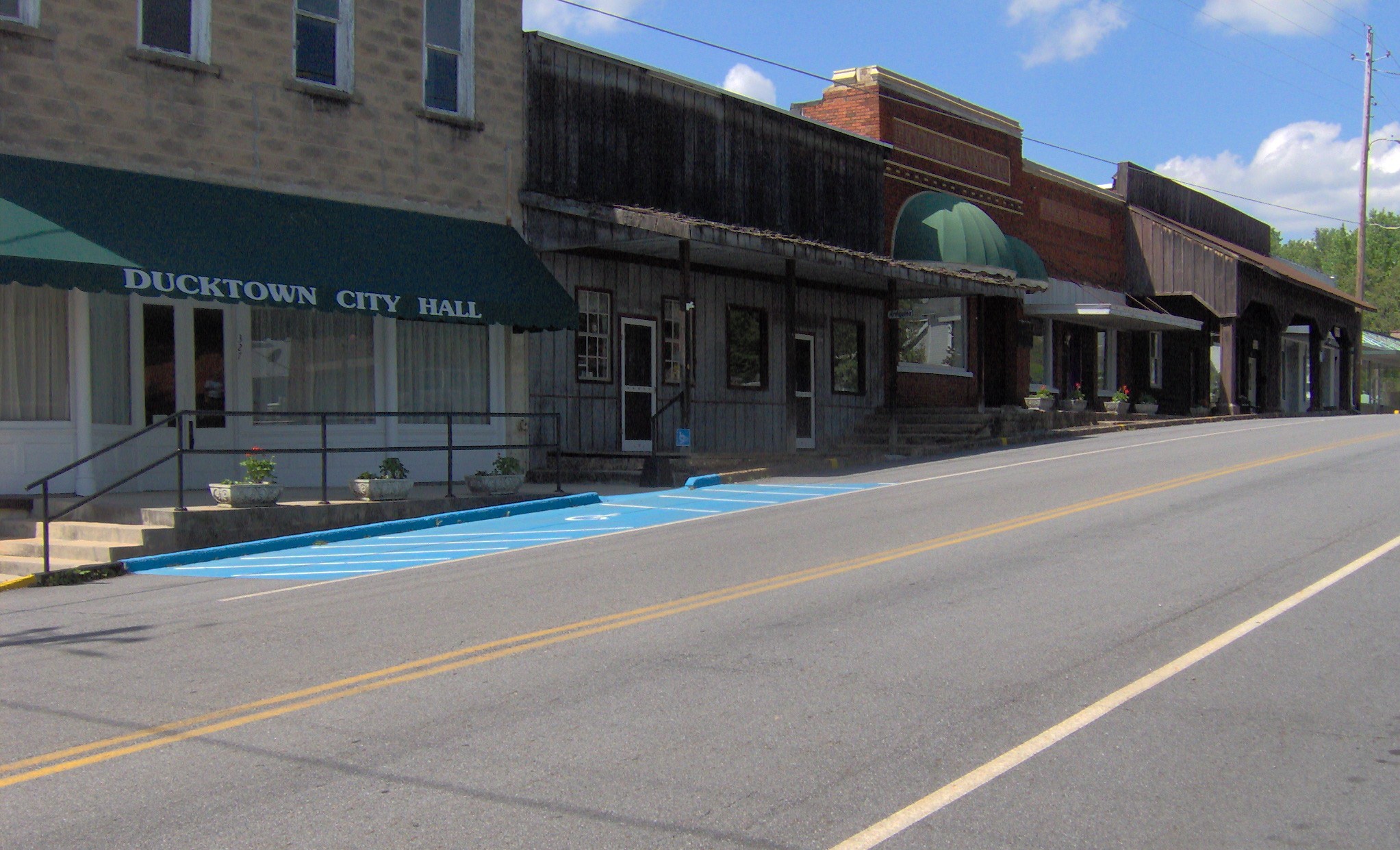
- Ducktown, Tennessee
-
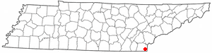
Ducktown, Tennessee — City — Ducktown Historic District Location of Ducktown, Tennessee
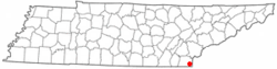
Coordinates: 35°2′3″N 84°23′3″W / 35.03417°N 84.38417°WCoordinates: 35°2′3″N 84°23′3″W / 35.03417°N 84.38417°W Country United States State Tennessee County Polk Area – Total 1.9 sq mi (5.0 km2) – Land 1.9 sq mi (5.0 km2) – Water 0.0 sq mi (0.0 km2) Elevation 1,732 ft (528 m) Population (2000) – Total 427 – Density 221.5/sq mi (85.5/km2) Time zone Eastern (EST) (UTC-5) – Summer (DST) EDT (UTC-4) ZIP code 37326 Area code(s) 423 FIPS code 47-21740[1] GNIS feature ID 1283051[2] Ducktown is a city in Polk County, Tennessee, United States. The population was 427 at the 2000 census. It is included in the Cleveland, Tennessee Metropolitan Statistical Area.
Contents
Geography
Ducktown is located at 35°2′3″N 84°23′3″W / 35.03417°N 84.38417°W (35.034162, -84.384275)[3]. The city is situated at the center of the Copper Basin (sometimes called the Ducktown Basin), a broad valley located in the southern Appalachian Mountains near the point where Tennessee, Georgia, and North Carolina meet. The Ducktown area is part of the Ocoee River watershed, which passes through the Copper Basin a few miles southwest of Ducktown before entering its scenic gorge. Ducktown is centered just north of the junction of Tennessee State Route 68, which connects the city to Madisonville to the north and Copperhill to the south, and U.S. Route 64, which connects the city to Cleveland, Tennessee (via the Ocoee River Gorge) to the west and Murphy, North Carolina to the east.
According to the United States Census Bureau, the city has a total area of 1.9 square miles (4.9 km2), all of it land.
History
Ducktown was the center of a major copper-mining district from 1847 until 1987. The district also produced iron, sulfur and zinc as byproducts.[4] Ducktown was the birthplace of Rockabilly Hall of Famer, Stan Beaver.[citation needed]
Literary historian Ben Harris McClary suggests that a Ducktown-area farmer named William "Sut" Miller (d. 1858) was the inspiration for the George Washington Harris character, Sut Lovingood.[5] Ducktown and several Ducktown-area features, such as Big Frog Mountain and the Ocoee River ("Oconee"), are mentioned in the Sut Lovingood tales.[citation needed]
The pre-mining period
The Cherokee inhabited the Copper Basin as early as the late 18th century, well before the arrival of the first Euro-American settlers. The Cherokee village of Kawana— which means "duck town" in English— is believed to have been located at the confluence of the Ocoee River and Tumbling Creek. The village's name first appears on Cherokee annuity distribution rolls as "Ducktown" in 1799. According to tradition, Ducktown was named after a Cherokee leader named Chief Duck.[6]
In 1836, the Cherokee relinquished control of the Copper Basin to the U.S. government as part of the Treaty of New Echota. Although the U.S. removed many of the basin's Cherokee inhabitants, several managed to avoid detection by hiding out in the surrounding mountains. They would later help build the Old Copper Road (now part of US-64). In the 1840s and 1850s, Ducktown was called "Hiwassee" or "Hiawassee," which was subsequently the name applied to the city's first major mining operation.[7]
Early mining years
The copper was discovered in 1843 by a prospector, presumably panning for gold, who found nuggets of native copper. The first shipment of copper ore was taken out on muleback in 1847. More than 30 mining companies were incorporated between 1852 and 1855 to mine copper at Ducktown. Development was accelerated by a road built in 1853 connecting the area with Cleveland, Tennessee. The first smelter was built in the Ducktown district in 1854.
Mining ceased when Union troops destroyed the copper refinery and mill at Cleveland, Tennessee in 1863. Mining resumed in 1866, and continued until 1878, when the mines had exhausted the shallow high-grade copper ores.
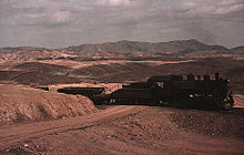 A train bringing copper ore out of the Ducktown mines, 1939. Smelter fumes have destroyed all vegetation and eroded the land.
Open Roasting of Copper Ore
In 1889, the Ducktown Sulphur, Copper, and Iron Company bought the properties, and began producing copper and iron from the deeper high-sulfide ores, which previous companies were unable to work successfully. The ores was treated by open roasting in which the ore was piled in large stacks with alternating layers of wood, and burned. The method released large quantities of sulfur dioxide, which killed much of the vegetation in the immediate area by creating acidified rain - weak sulfuric acid. The hills around these mining operations are still devoid of vegetation.
Later Years
Open roasting was replaced by pyritic smelting in 1904, and the smelters began recovering the most of the sulfur in the form of sulfuric acid rather than releasing it to the atmosphere. Froth flotation was added in the 1920s.
Demographics
As of the census[1] of 2000, there were 427 people, 209 households, and 105 families residing in the city. The population density was 221.5 people per square mile (85.4/km²). There were 230 housing units at an average density of 119.3 per square mile (46.0/km²). The racial makeup of the city was 97.19% White, 0.94% Native American, and 1.87% from two or more races. Hispanic or Latino of any race were 0.94% of the population.
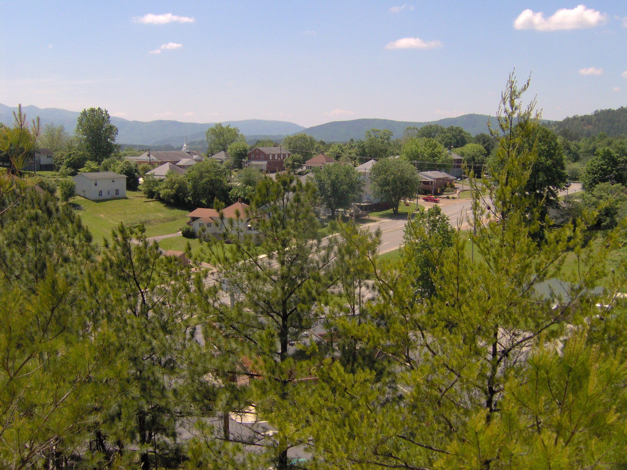
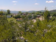 Ducktown, viewed from the old Burra Burra Mine.
There were 209 households out of which 16.3% had children under the age of 18 living with them, 37.8% were married couples living together, 7.7% had a female householder with no husband present, and 49.3% were non-families. 46.4% of all households were made up of individuals and 27.8% had someone living alone who was 65 years of age or older. The average household size was 2.04 and the average family size was 2.92.
In the city the population was spread out with 17.3% under the age of 18, 7.5% from 18 to 24, 21.8% from 25 to 44, 26.2% from 45 to 64, and 27.2% who were 65 years of age or older. The median age was 49 years. For every 100 females there were 75.7 males. For every 100 females age 18 and over, there were 69.7 males.
The median income for a household in the city was $18,125, and the median income for a family was $27,045. Males had a median income of $25,833 versus $19,688 for females. The per capita income for the city was $12,113. About 20.4% of families and 25.9% of the population were below the poverty line, including 30.4% of those under age 18 and 37.6% of those age 65 or over.
See also
- Burra Burra Mine (Ducktown, Tennessee)
References
- ^ a b "American FactFinder". United States Census Bureau. http://factfinder.census.gov. Retrieved 2008-01-31.
- ^ "US Board on Geographic Names". United States Geological Survey. 2007-10-25. http://geonames.usgs.gov. Retrieved 2008-01-31.
- ^ "US Gazetteer files: 2010, 2000, and 1990". United States Census Bureau. 2011-02-12. http://www.census.gov/geo/www/gazetteer/gazette.html. Retrieved 2011-04-23.
- ^ Maurice Magee (1968) Geology and ore deposits of the Ducktown district, Tennessee, in Ore Deposits of the United States 1933-1967, New York: American Institute of Mining Engineers, p.207-241.
- ^ Henning Cohen, "Mark Twain's Sut Lovingood," Sut Lovingood Papers (Knoxville, Tenn.: University of Tennessee Press, 1962), pp. 19-24.
- ^ R.E. Barclay, Ducktown Back in Raht's Time (Chapel Hill, N.C.: University of North Carolina Press, 1946), 4-5.
- ^ Barclay, 8-9.
Municipalities and communities of Polk County, Tennessee Cities Copperhill | Ducktown

Town Unincorporated
communitiesDelano | Farner | Ocoee | Old Fort | Reliance | Turtletown
Categories:- Cities in Tennessee
- Populated places in Polk County, Tennessee
- Cleveland, Tennessee metropolitan area

Wikimedia Foundation. 2010.