- Dunlevy, Pennsylvania
-
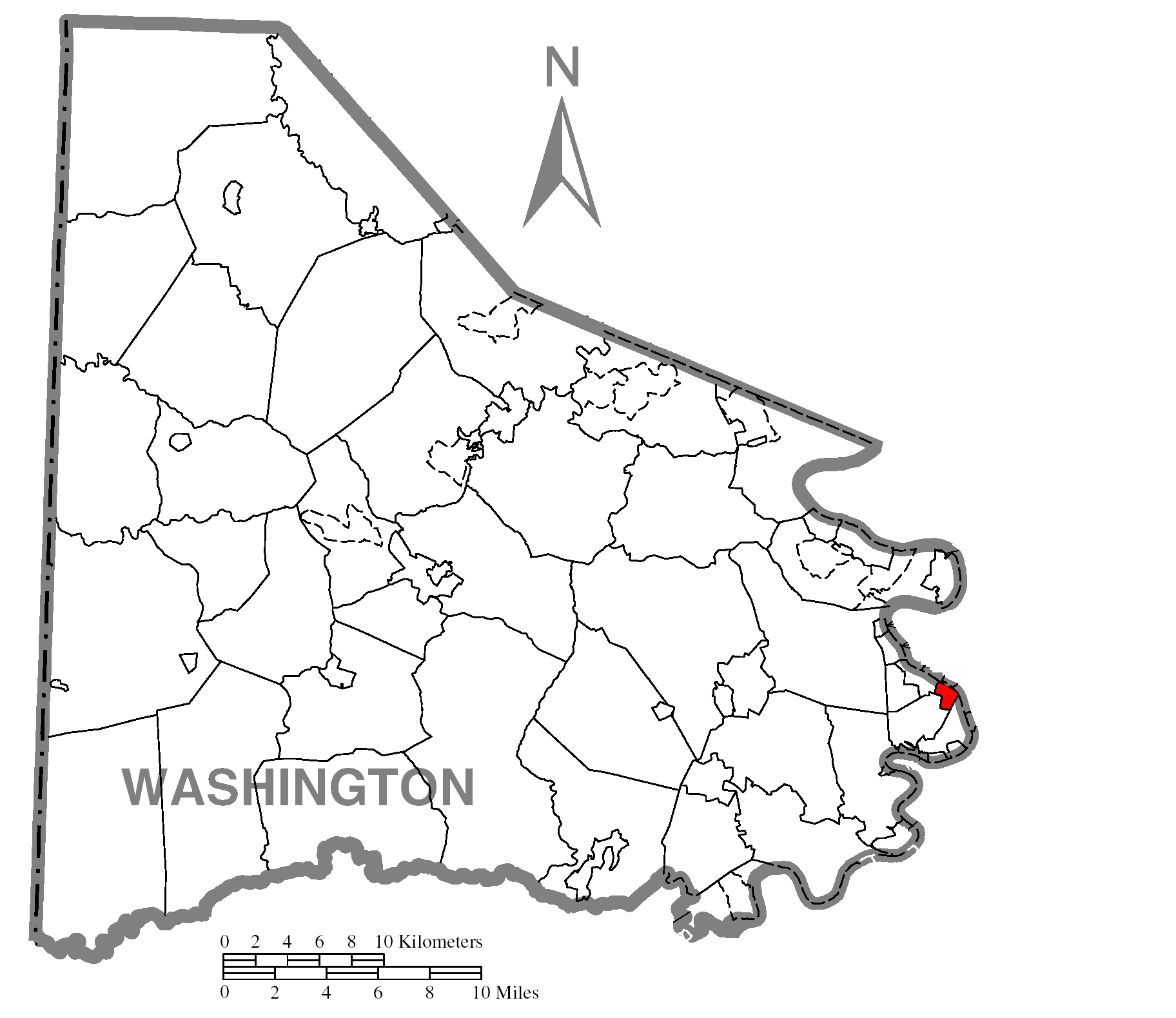
Dunlevy Borough Country United States State Pennsylvania County Washington Coordinates 40°8′17″N 79°54′5″W / 40.13806°N 79.90139°W Area 0.6 sq mi (2 km2) - land 0.5 sq mi (1 km2) - water 0.1 sq mi (0 km2) Population 397 (2000) Density 791.3 / sq mi (306 / km2) Established 1913 Mayor Brenda L. Simon Timezone EST (UTC-4) - summer (DST) EDT (UTC-5) Area code 724  Location of Dunlevy in Washington County
 Location of Dunlevy in Pennsylvania
 Location of Pennsylvania in the United States
Dunlevy is a borough in Washington County, Pennsylvania, United States. The population was 397 at the 2000 census.
Geography
Dunlevy is located at 40°7′3″N 79°51′51″W / 40.1175°N 79.86417°W (40.117368, -79.864135)[1].
According to the United States Census Bureau, the borough has a total area of 0.6 square miles (1.6 km2), of which, 0.5 square miles (1.3 km2) of it is land and 0.1 square miles (0.26 km2) of it (13.79%) is water.
Demographics
As of the census[2] of 2000, there were 397 people, 176 households, and 108 families residing in the borough. The population density was 791.3 people per square mile (306.6/km²). There were 193 housing units at an average density of 384.7 per square mile (149.0/km²). The racial makeup of the borough was 99.50% White and 0.50% African American.
There were 176 households out of which 19.3% had children under the age of 18 living with them, 47.2% were married couples living together, 9.7% had a female householder with no husband present, and 38.6% were non-families. 36.4% of all households were made up of individuals and 17.6% had someone living alone who was 65 years of age or older. The average household size was 2.14 and the average family size was 2.79.
In the borough the population was spread out with 17.9% under the age of 18, 5.0% from 18 to 24, 22.2% from 25 to 44, 28.5% from 45 to 64, and 26.4% who were 65 years of age or older. The median age was 49 years. For every 100 females there were 93.7 males. For every 100 females age 18 and over, there were 90.6 males.
The median income for a household in the borough was $26,250, and the median income for a family was $35,417. Males had a median income of $37,292 versus $23,929 for females. The per capita income for the borough was $19,487. About 8.7% of families and 15.1% of the population were below the poverty line, including 14.3% of those under age 18 and 27.3% of those age 65 or over.
References
- ^ "US Gazetteer files: 2010, 2000, and 1990". United States Census Bureau. 2011-02-12. http://www.census.gov/geo/www/gazetteer/gazette.html. Retrieved 2011-04-23.
- ^ "American FactFinder". United States Census Bureau. http://factfinder.census.gov. Retrieved 2008-01-31.
Categories:- Boroughs in Washington County, Pennsylvania
- Populated places established in 1913
- Pittsburgh metropolitan area


Wikimedia Foundation. 2010.