- West Alexander, Pennsylvania
Geobox|Borough
name = West Alexander
official_name =
category = Borough
image_size =
image_caption =
flag_size =
symbol =
symbol_type =
etymology =
etymology_type =
nickname =
motto =
country = United States
country_
state = Pennsylvania
state_
region_type = County
region = Washington
district =
part_type =
part_count =
part =
part1 =
area_imperial = 0.2
area_land_imperial =
area_water_imperial =
area_urban_imperial =
area_metro_imperial =
location =
lat_d = 40
lat_m = 6
lat_s = 15
lat_NS = N
long_d = 80
long_m = 30
long_s = 28
long_EW = W
coordinates_type = region:US_type:city
highest_name =
highest location =
highest_elevation_imperial =
lowest_name =
lowest_location =
lowest_elevation_imperial =
population_as_of = 2000
population = 320
population_urban =
population_metro =
population_density_imperial = 2033.5
population_density_urban_imperial =
population_density_metro_imperial =
government =
established_type = Established
established = 1796
established1_type =
established1 =
government_type =
mayor = Frank Blackmore
leader_type =
leader1_name =
leader1_type =
timezone = EST
utc_offset = -4
timezone_DST = EDT
utc_offset_DST = -5
postal_code =
postal_code_type =
area_code = 724
area_code_type =
code2_type =
code2 =
free_type =
free =
free1_type =
free1 =
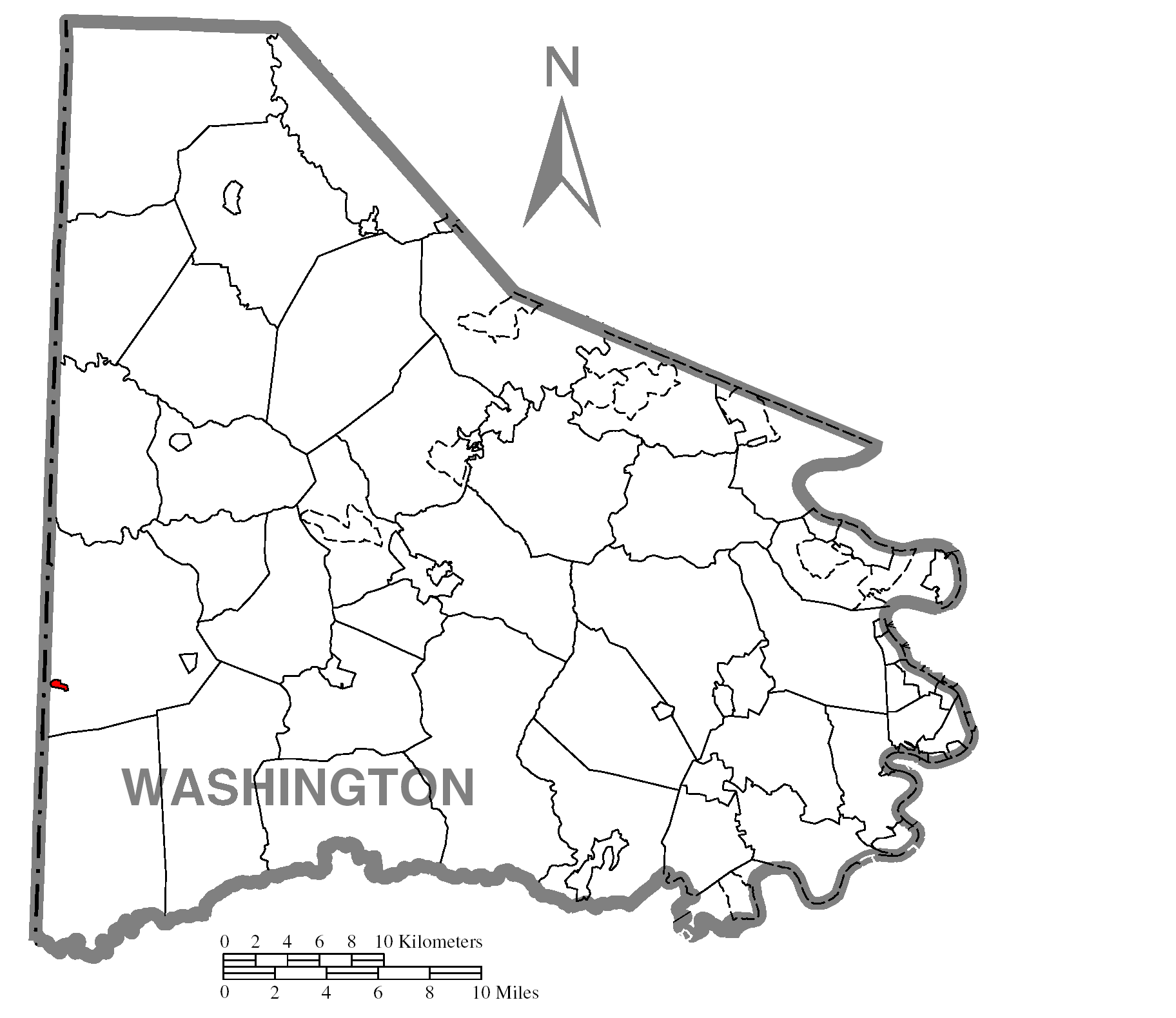
map_caption = Location of West Alexander in Washington County
map1 = Pennsylvania Locator Map.png
map1_locator = Pennsylvania
map2 = Map of USA PA.svg
map2_caption = Location of Pennsylvania in the United States
website =
footnotes =West Alexander is a borough in Washington County,
Pennsylvania ,United States . The population was 320 at the 2000 census.Geography
West Alexander is located at coor dms|40|6|15|N|80|30|28|W|city (40.104190, -80.507841)GR|1.
According to the
United States Census Bureau , the borough has a total area of 0.2square mile s (0.4km² ), all of it land.Demographics
As of the
census GR|2 of 2000, there were 320 people, 116 households, and 83 families residing in the borough. Thepopulation density was 2,033.5 people per square mile (772.2/km²). There were 125 housing units at an average density of 794.3/sq mi (301.6/km²). The racial makeup of the borough was 97.81% White, 1.56% African American, and 0.62% from two or more races. Hispanic or Latino of any race were 0.94% of the population.There were 116 households out of which 34.5% had children under the age of 18 living with them, 56.9% were married couples living together, 12.9% had a female householder with no husband present, and 28.4% were non-families. 25.9% of all households were made up of individuals and 15.5% had someone living alone who was 65 years of age or older. The average household size was 2.61 and the average family size was 3.16.
In the borough the population was spread out with 29.7% under the age of 18, 4.4% from 18 to 24, 30.3% from 25 to 44, 19.4% from 45 to 64, and 16.3% who were 65 years of age or older. The median age was 35 years. For every 100 females there were 81.8 males. For every 100 females age 18 and over, there were 78.6 males.
The median income for a household in the borough was $26,563, and the median income for a family was $30,625. Males had a median income of $29,271 versus $21,364 for females. The
per capita income for the borough was $13,815. About 6.1% of families and 17.8% of the population were below thepoverty line , including 21.8% of those under age 18 and 29.2% of those age 65 or over.The current mayor of West Alexander is Frank Blakemore, who replaced Charles Coffield, who resigned.
References

Wikimedia Foundation. 2010.