- West Brownsville, Pennsylvania
Geobox|Borough
name = West Brownsville
official_name =
category = Borough
image_size =
image_caption =
flag_size =
symbol =
symbol_type =
etymology =
etymology_type =
nickname =
motto =
country = United States
country_
state = Pennsylvania
state_
region_type = County
region = Washington
district =
part_type =
part_count =
part =
part1 =
area_imperial = 1.4
area_land_imperial = 1.3
area_water_imperial = 0.1
area_urban_imperial =
area_metro_imperial =
location =
lat_d = 40
lat_m = 1
lat_s = 47
lat_NS = N
long_d = 79
long_m = 53
long_s = 11
long_EW = W
coordinates_type = region:US_type:city
highest_name =
highest location =
highest_elevation_imperial =
lowest_name =
lowest_location =
lowest_elevation_imperial =
population_as_of = 2000
population = 1075
population_urban =
population_metro =
population_density_imperial = 831.7
population_density_urban_imperial =
population_density_metro_imperial =
government =
established_type = Established
established = 1831
established1_type =
established1 =
government_type =
mayor = Martin C. Brockman, Jr.
leader_type =
leader1_name =
leader1_type =
timezone = EST
utc_offset = -4
timezone_DST = EDT
utc_offset_DST = -5
postal_code =
postal_code_type =
area_code = 724
area_code_type =
code2_type =
code2 =
free_type =
free =
free1_type =
free1 =
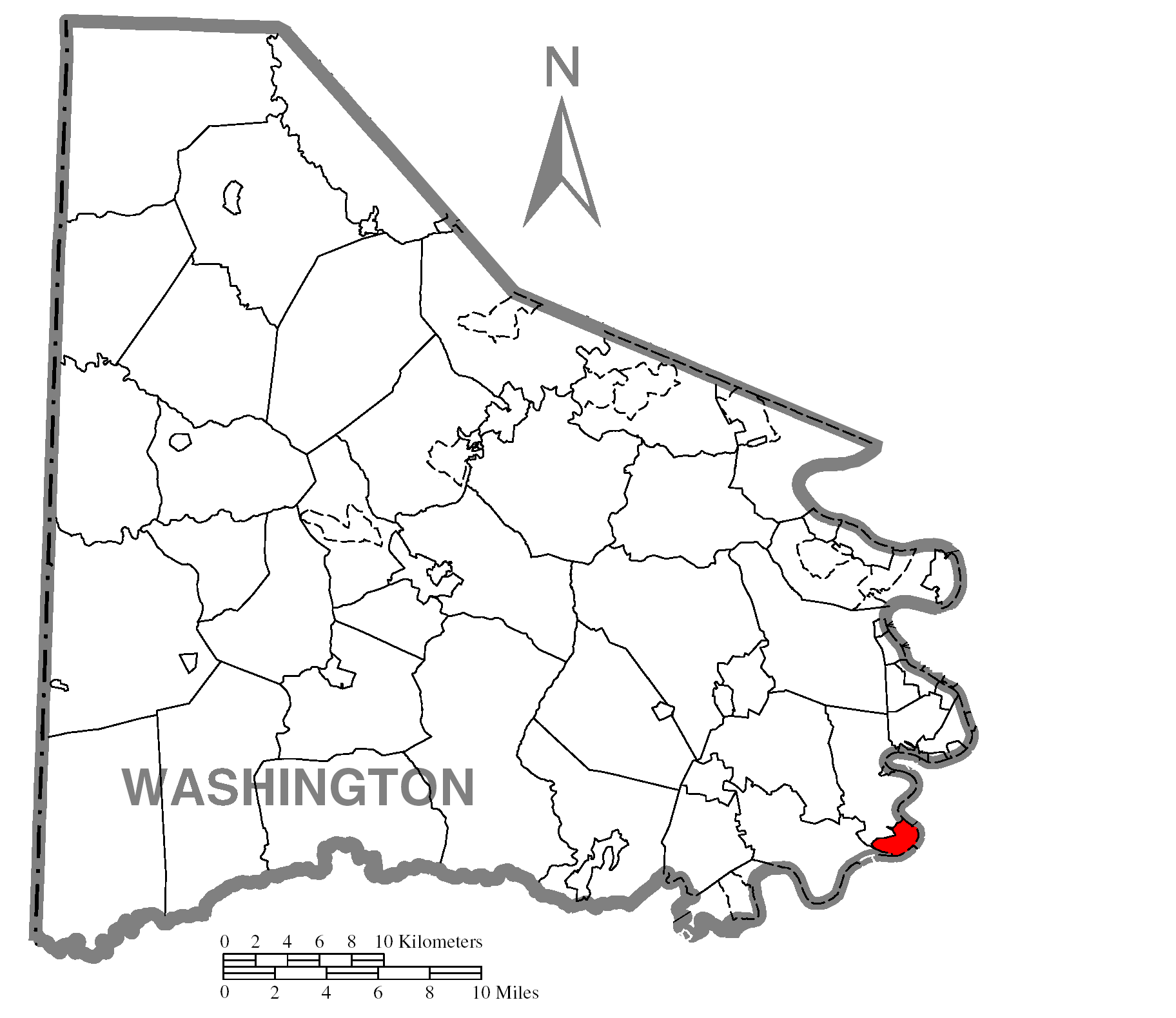
map_caption = Location of West Brownsville in Washington County
map1 = Pennsylvania Locator Map.png
map1_locator = Pennsylvania
map2 = Map of USA PA.svg
map2_caption = Location of Pennsylvania in the United States
website =
footnotes =West Brownsville is a borough in Washington County,
Pennsylvania ,United States . The population was 1,075 at the 2000 census.Geography
West Brownsville is located at coor dms|40|1|47|N|79|53|11|W|city (40.029731, -79.886412)GR|1.
According to the
United States Census Bureau , the borough has a total area of 1.4square mile s (3.7km² ), of which, 1.3 square miles (3.3 km²) of it is land and 0.1 square miles (0.3 km²) of it (8.51%) is water.Demographics
As of the
census GR|2 of 2000, there were 1,075 people, 459 households, and 312 families residing in the borough. Thepopulation density was 831.7 people per square mile (321.8/km²). There were 527 housing units at an average density of 407.7/sq mi (157.7/km²). The racial makeup of the borough was 98.14% White, 0.65% African American, 0.09% Native American, 0.74% from other races, and 0.37% from two or more races. Hispanic or Latino of any race were 0.37% of the population.There were 459 households out of which 24.4% had children under the age of 18 living with them, 51.0% were married couples living together, 10.5% had a female householder with no husband present, and 32.0% were non-families. 27.9% of all households were made up of individuals and 15.0% had someone living alone who was 65 years of age or older. The average household size was 2.34 and the average family size was 2.82.
In the borough the population was spread out with 16.8% under the age of 18, 10.1% from 18 to 24, 25.5% from 25 to 44, 25.5% from 45 to 64, and 22.0% who were 65 years of age or older. The median age was 43 years. For every 100 females there were 96.5 males. For every 100 females age 18 and over, there were 94.3 males.
The median income for a household in the borough was $27,315, and the median income for a family was $36,641. Males had a median income of $31,964 versus $21,875 for females. The
per capita income for the borough was $15,368. About 10.4% of families and 13.5% of the population were below thepoverty line , including 33.3% of those under age 18 and 5.4% of those age 65 or over.Famous People from West Brownsville
James G. Blaine -United States Secretary of State and RepublicanPresidential Candidate References

Wikimedia Foundation. 2010.