- Masontown, Pennsylvania
-
Masontown Borough Named for: John and Abigale Mason Country United States State Pennsylvania County Fayette Coordinates 39°50′46″N 79°54′13″W / 39.84611°N 79.90361°W Area 1.5 sq mi (4 km2) Population 3,611 (2000) Density 2,376.6 / sq mi (918 / km2) Established 1798 Mayor Toni Scarton Petrus Timezone EST (UTC-4) - summer (DST) EDT (UTC-5) Zip code 15461 Area code 724 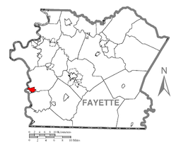 Location of Masontown in Fayette County
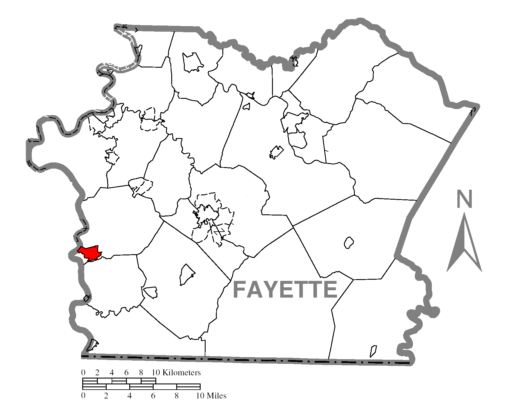
 Location of Masontown in Pennsylvania
 Location of Pennsylvania in the United States
Website: www.masontownpa.com Masontown is a borough in Fayette County, Pennsylvania, United States. It is part of the Pittsburgh Metro Area. The population was 3,611 at the 2000 census. The town is served by the Albert Gallatin Area School District. It is a small crossroads for the rural portions of western Fayette County, and it contains a small shopping center and a grocery store within its business district.
Contents
History
Fort Mason was built as a blockhouse from 1774-1778 by John Mason, also known as Johannes Phillip Maurer (1730-1812). Masontown became a town in 1798. He later moved to Ohio and is buried on a family farm in Columbiana County.
Geography
Masontown is located at 39°50′46″N 79°54′13″W / 39.84611°N 79.90361°W (39.846228, -79.903492)[1].
According to the United States Census Bureau, the borough has a total area of 1.5 square miles (3.9 km2), all of it land.
Demographics
As of the census[2] of 2000, there were 3,611 people, 1,536 households, and 984 families residing in the borough. The population density was 2,376.6 people per square mile (917.2/km²). There were 1,701 housing units at an average density of 1,119.5 per square mile (432.1/km²). The racial makeup of the borough was 93.27% White, 5.59% African American, 0.22% Native American, 0.03% Asian, 0.30% from other races, and 0.58% from two or more races. Hispanic or Latino of any race were 0.22% of the population.
There were 1,536 households out of which 27.6% had children under the age of 18 living with them, 44.5% were married couples living together, 15.8% had a female householder with no husband present, and 35.9% were non-families. 33.1% of all households were made up of individuals and 20.4% had someone living alone who was 65 years of age or older. The average household size was 2.32 and the average family size was 2.90.
In the borough the population was spread out with 23.0% under the age of 18, 7.8% from 18 to 24, 23.2% from 25 to 44, 23.1% from 45 to 64, and 22.9% who were 65 years of age or older. The median age was 42 years. For every 100 females there were 83.1 males. For every 100 females age 18 and over, there were 77.2 males.
The median income for a household in the borough was $24,049, and the median income for a family was $27,609. Males had a median income of $35,948 versus $18,194 for females. The per capita income for the borough was $13,875. About 19.7% of families and 25.2% of the population were below the poverty line, including 37.2% of those under age 18 and 16.6% of those age 65 or over.
Notable natives and residents
- Frank L. Bowman, American politician who represented West Virginia in the United States House of Representatives
- Mike Nixon, longtime Pittsburgh Steeler coach and scout
- Lester C. McClelland, aircraft commander of Air Force One under Presidents Ford and Carter, 1974–1980; born September 25, 1932.
References
- ^ "US Gazetteer files: 2010, 2000, and 1990". United States Census Bureau. 2011-02-12. http://www.census.gov/geo/www/gazetteer/gazette.html. Retrieved 2011-04-23.
- ^ "American FactFinder". United States Census Bureau. http://factfinder.census.gov. Retrieved 2008-01-31.
External links
Municipalities and communities of Fayette County, Pennsylvania Cities 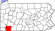
Boroughs Belle Vernon | Brownsville | Dawson | Dunbar | Everson | Fairchance | Fayette City | Markleysburg | Masontown | Newell | Ohiopyle | Perryopolis | Point Marion | Seven Springs‡ | Smithfield | South Connellsville | Vanderbilt
Townships Brownsville | Bullskin | Connellsville | Dunbar | Franklin | Georges | German | Henry Clay | Jefferson | Lower Tyrone | Luzerne | Menallen | Nicholson | North Union | Perry | Redstone | Saltlick | South Union | Springfield | Springhill | Stewart | Upper Tyrone | Washington | Wharton
CDPs Unincorporated
communitiesAcme | Adah | Farmington | Gans | Grindstone | Lake Lynn | Lemont Furnace | McClellandtown | Rowes Run | Star Junction | Whitsett | Wickhaven
Footnotes ‡This populated place also has portions in an adjacent county or counties
Categories:- Populated places established in 1798
- Pittsburgh metropolitan area
- Boroughs in Fayette County, Pennsylvania


Wikimedia Foundation. 2010.