- Newtown Grant, Pennsylvania
-
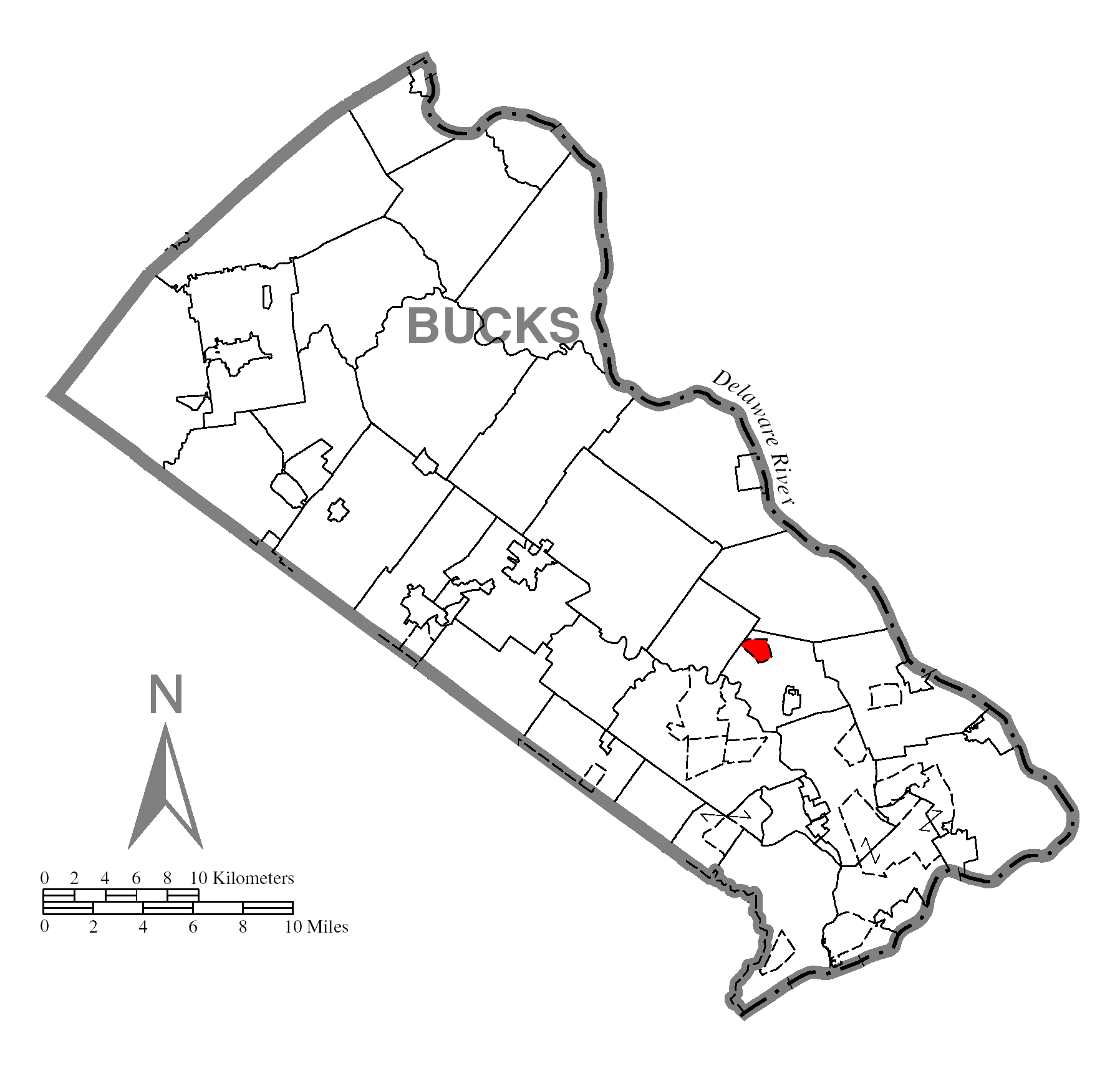
Newtown Grant Census-designated place Country United States State Pennsylvania County Bucks Township Newtown Elevation 289 ft (88.1 m) Coordinates 40°15′33″N 74°57′17″W / 40.25917°N 74.95472°W Area 0.8 sq mi (2.1 km2) - land 0.8 sq mi (2 km2) - water 0.0 sq mi (0 km2), 0% Population 3,620 (2010) Density 4,525.0 / sq mi (1,747.1 / km2) Timezone EST (UTC-5) - summer (DST) EDT (UTC-4) Area code 215  Location of Newtown Grant in Bucks County
 Location of Newtown Grant in Pennsylvania
 Location of Pennsylvania in the United States
Newtown Grant is a census-designated place (CDP) in Bucks County, Pennsylvania, United States. The population was 3,620 at the 2010 census.[1]
Contents
Geography
Newtown Grant is located at 40°15′33″N 74°57′17″W / 40.25917°N 74.95472°W (40.259034, -74.954822)[2].
According to the United States Census Bureau, the CDP has a total area of 0.8 square miles (2.1 km2), all of it land.
Demographics
Historical populations Census Pop. %± 1990 2,141 — 2000 3,887 81.6% 2010 3,620 −6.9% www.dvrpc.org/data/databull/rdb/db82/appedixa.xls As of the 2010 census, Newtown Grant was 85.7% White, 1.2% Black or African American, 0.1% Native American, 9.0% Asian, 0.1% some other race, and 1.1% were two or more races. 2.7% of the population was of Hispanic or Latino ancestry.[1].
As of the census[3] of 2000, there were 3,887 people, 5,531 households, and 1,106 families residing in the CDP. The population density was 5,062.5 people per square mile (1,949.1/km²). There were 1,545 housing units at an average density of 2,012.2/sq mi (774.7/km²). The racial makeup of the CDP was 94.73% White, 1.23% African American, 0.08% Native American, 2.70% Asian, 0.33% from other races, and 0.93% from two or more races. Hispanic or Latino of any race were 1.49% of the population.
There were 1,531 households out of which 43.5% had children under the age of 18 living with them, 59.0% were married couples living together, 10.5% had a female householder with no husband present, and 27.7% were non-families. 24.0% of all households were made up of individuals and 2.5% had someone living alone who was 65 years of age or older. The average household size was 2.54 and the average family size was 3.05.
In the CDP the population was spread out with 29.4% under the age of 18, 4.3% from 18 to 24, 40.1% from 25 to 44, 21.7% from 45 to 64, and 4.6% who were 65 years of age or older. The median age was 35 years. For every 100 females there were 94.0 males. For every 100 females age 18 and over, there were 86.4 males.
The median income for a household in the CDP was $74,435, and the median income for a family was $83,500. Males had a median income of $65,078 versus $41,318 for females. The per capita income for the CDP was $33,485. About 0.6% of families and 1.2% of the population were below the poverty line, including 2.6% of those under age 18 and none of those age 65 or over.
History
Newtown Grant was built by Orleans, Inc. builders. It is divided into 12 subsections: Estates I-IV, Fawn Hollow, Phesant Walk, Raven's View, Greenbriar, Whispering Woods, Heather Wood, Quail Creek, and Society Place. Acquired from Jonapher Deisendorf.
References
- ^ "Race, Hispanic or Latino, Age, and Housing Occupancy: 2010 Census Redistricting Data (Public Law 94-171) Summary File (QT-PL), Newtown Grant CDP, Pennsylvania". U.S. Census Bureau, American FactFinder 2. http://factfinder2.census.gov. Retrieved August 11, 2011.
- ^ "US Gazetteer files: 2010, 2000, and 1990". United States Census Bureau. 2011-02-12. http://www.census.gov/geo/www/gazetteer/gazette.html. Retrieved 2011-04-23.
- ^ "American FactFinder". United States Census Bureau. http://factfinder.census.gov. Retrieved 2008-01-31.
External links
Categories:- Census-designated places in Bucks County, Pennsylvania


Wikimedia Foundation. 2010.