- Ivyland, Pennsylvania
Geobox Borough
name = Borough of Ivyland
native_name =
other_name =
other_name1 =
category = Borough
image_size =
image_caption =
flag_size =
symbol = Ivy102.jpg
symbol_type = Seal
nickname =
motto =
country = United States
state = Pennsylvania
region = Bucks
region_type = County
district =
area_imperial = 0.3
area_land_imperial = 0.3
area_water_imperial = 0.0
area_water_percentage = auto
area_percentage_round = 2
area_round = 1
location =
lat_d = 40
lat_m = 12
lat_s = 32
lat_NS = N
long_d = 75
long_m = 04
long_s = 19
long_EW = W
elevation_imperial = 299
elevation_round = 1
population_as_of = 2000
population = 492
population_density_imperial = 1600.3
population_density_round = 1
government_type =
government =
established_type =
established =
mayor = Charles Ritter
timezone = EST
utc_offset = -5
timezone_DST = EDT
utc_offset_DST = -4
postal_code_type =ZIP Code
postal_code = 18974
area_code = 215
area_code_type =
code2_type =
code2 =
free_type =
free =
free1_type =
free1 =
map_size =
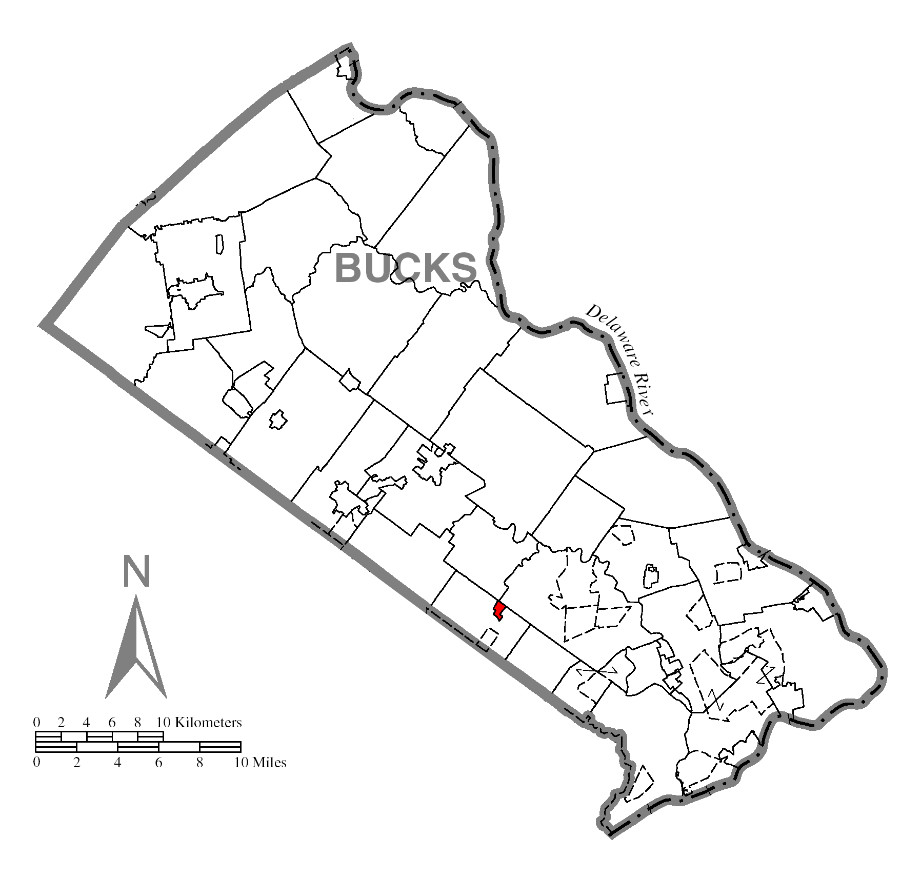
map_caption = Location of Ivyland in Bucks County
map1 = Pennsylvania Locator Map.png
map1_caption = Location of Ivyland in Pennsylvania
map1_locator = Pennsylvania
map2 = Map of USA PA.svg
map2_caption = Location of Pennsylvania in the United States
website = http://www.ivylandborough.orgIvyland is a borough in Bucks County,
Pennsylvania ,United States . It is known as one of the finest collections of Victorian Buildings in the state and most of it is on the National Register of Historic Places. The population was 492 at the 2000 census.Geography
Ivyland is located at coor dms|40|12|32|N|75|4|19|W|city (40.208908, -75.071946)GR|1.
According to the
United States Census Bureau , the borough has a total area of 0.3 square miles (0.8 km²), all land, making it the smallest borough in Bucks County.Demographics
As of the
census GR|2 of 2000, there were 492 people, 194 households, and 152 families residing in the borough. Thepopulation density was 1,600.3 people per square mile (612.8/km²). There were 199 housing units at an average density of 647.3/sq mi (247.9/km²). The racial makeup of the borough was 95.53% White, 1.02% Native American, 2.85% Asian, 0.20% from other races, and 0.41% from two or more races. Hispanic or Latino of any race were 1.83% of the population.There were 194 households out of which 32.0% had children under the age of 18 living with them, 62.9% were married couples living together, 13.4% had a female householder with no husband present, and 21.6% were non-families. 19.1% of all households were made up of individuals and 7.7% had someone living alone who was 65 years of age or older. The average household size was 2.52 and the average family size was 2.83.
In the borough the population was spread out with 21.1% under the age of 18, 6.9% from 18 to 24, 31.1% from 25 to 44, 26.0% from 45 to 64, and 14.8% who were 65 years of age or older. The median age was 39 years. For every 100 females there were 90.7 males. For every 100 females age 18 and over, there were 86.5 males.
The median income for a household in the borough was $58,958, and the median income for a family was $63,750. Males had a median income of $43,750 versus $36,136 for females. The
per capita income for the borough was $26,525. About 2.1% of families and 3.6% of the population were below thepoverty line , including 4.0% of those under age 18 and 5.0% of those age 65 or over."Old" Ivyland vs "New" Ivyland
Ivyland Borough recently acquired a newly built community. The new community, Ivyland Village, was developed by [http://www.juddbuilders.com/ Judd Builders] and added a multitude of single family homes, as well as townhomes. Judd had strict requirements in building in order not to detract from the "Old" Ivyland style.
"New" Ivyland Borders
Ivyland Village is on the east side of State Route 332 (Jacksonville Road) and is bordered by Johnsville Boulevard, Kirk Road the Warminster Community Park. [ [http://maps.google.com/maps?f=q&hl=en&geocode=&q=Ivyland,+PA&ie=UTF8&ll=40.20192,-75.071597&spn=0.017765,0.04858&z=15 Google Maps ] ]
References
External links
* [http://www.ivylandborough.org/ Borough of Ivyland]
Wikimedia Foundation. 2010.