- Mmankgodi
-
Mmankgodi Location in Botswana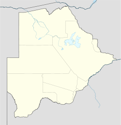
 Mmankgodi
Coordinates: 24°43′26″S 25°38′20″E / 24.72389°S 25.63889°E Country  Botswana
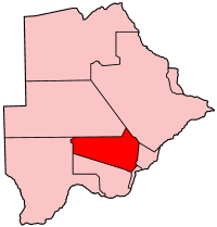
District Kweneng District Population (2001) – Total 4,997 Mmankgodi is a village in Kweneng District of Botswana. It is located 35 km from Gaborone and around 30 km from the border with South Africa. The population of Mmankgodi was 4,997 in 2001 census.[1]
The people of Mmankgodi are called the Bahurutshi, a group also found in the village of Manyana. They arrived in the region from South Africa throughout the eighteenth century. The tribal chief of Mmankgodi is Kgosi ------ and as is customary in Botswana the salutation 'kgosi' is the title used before the chiefs name.
References
- ^ "Distribution of population by sex by villages and their associated localities: 2001 population and housing census". Archived from the original on 2007-11-24. http://web.archive.org/web/20071124145459/http://www.cso.gov.bw/html/census/dist20_30_31.html. Retrieved 2008-02-10.
Urban villages 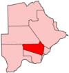
Rural villages Boatlaname · Botlhapatlou · Ditshegwane · Ditshukudu · Dutlwe · Gakgatla · Hatsalatladi · Kaudwane · Kgope · Khudumelapye · Kotolaname · Kubung · Kumakwane · Kweneng · Lentsweletau · Lephephe · Losilakgokong · Maboane · Mahetlwe · Malwelwe · Mantshwabisi · Metsimotlhaba · Mmankgodi · Mmanoko · Mmopane · Mogonono · Monwane · Moshaweng · Motokwe · Ngware · Salajwe · Sesung · Shadishadi · Sojwe · Sorilatholo · Takatokwane · Tsetseng · Tswaane50 largest cities of Botswana by population - Gaborone
- Francistown
- Molepolole
- Serowe
- Selebi-Phikwe
- Maun
- Kanye
- Mahalapye
- Mogoditshane
- Mochudi
- Shakawe
- Lentsweletau
- Molapowabojang
- Gumare
- Tshabong
- Lerala
- Mmathethe
- Gweta
- Mathangwane
- Mmankgodi
Coordinates: 24°43′26″S 25°38′20″E / 24.72389°S 25.63889°E
Categories:- Kweneng District
- Villages in Botswana
- Botswana geography stubs

Wikimedia Foundation. 2010.