- Mahalapye
-
Mahalapye Location of Mahalpye in Botswana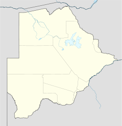
 Mahalapye
Coordinates: 23°06′S 26°48′E / 23.1°S 26.8°E Country Botswana District Central District Government - Mayor TBA Elevation 900 m (2,953 ft) Population (2008)[citation needed] - Total 42,000 Mahalapye is a town located in the Central District of Botswana. The town has about 39,000 inhabitants[citation needed] and is situated along the main road between the capital Gaborone and the second largest city Francistown. Mahalapye has a bus station, a railwaystation, a couple of hotels and a market area with many shops and fastfood restaurants. It also has several petrol stations, some open 24/7. Being situated on the edge of the Kalahari desert it is quite dry, and the local waterways are dry except during the rainy season. In recent times, it has become a convenient stop-over town for travellers travelling to and from Gaborone.
-

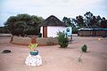
Center of Mahalapye
-
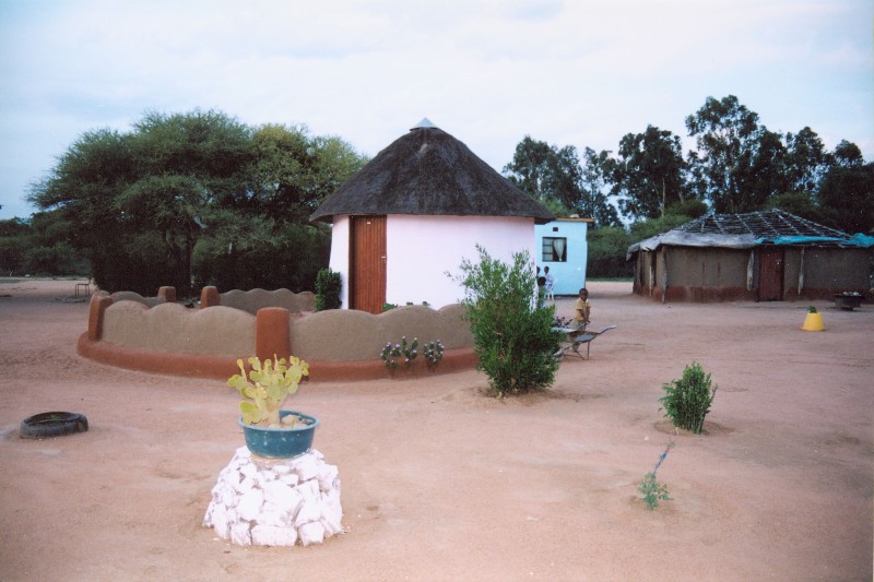
Traditional house in Mahalapye
Coordinates: 23°06′S 26°48′E / 23.1°S 26.8°E
Italics indicate capitals of districts - Gaborone
- Francistown
- Molepolole
- Serowe
- Selebi-Phikwe
- Maun
- Kanye
- Mahalapye
- Mogoditshane
- Mochudi
- Shakawe
- Lentsweletau
- Molapowabojang
- Gumare
- Tshabong
- Lerala
- Mmathethe
- Gweta
- Mathangwane
- Mmankgodi
Retrieved from Botswana's 2001 Population and Housing Census Categories:- Populated places in Botswana
- Botswana stubs
-


Wikimedia Foundation. 2010.