- Richland, Oregon
Infobox Settlement
official_name = Richland, Oregon
settlement_type =City
nickname =
motto =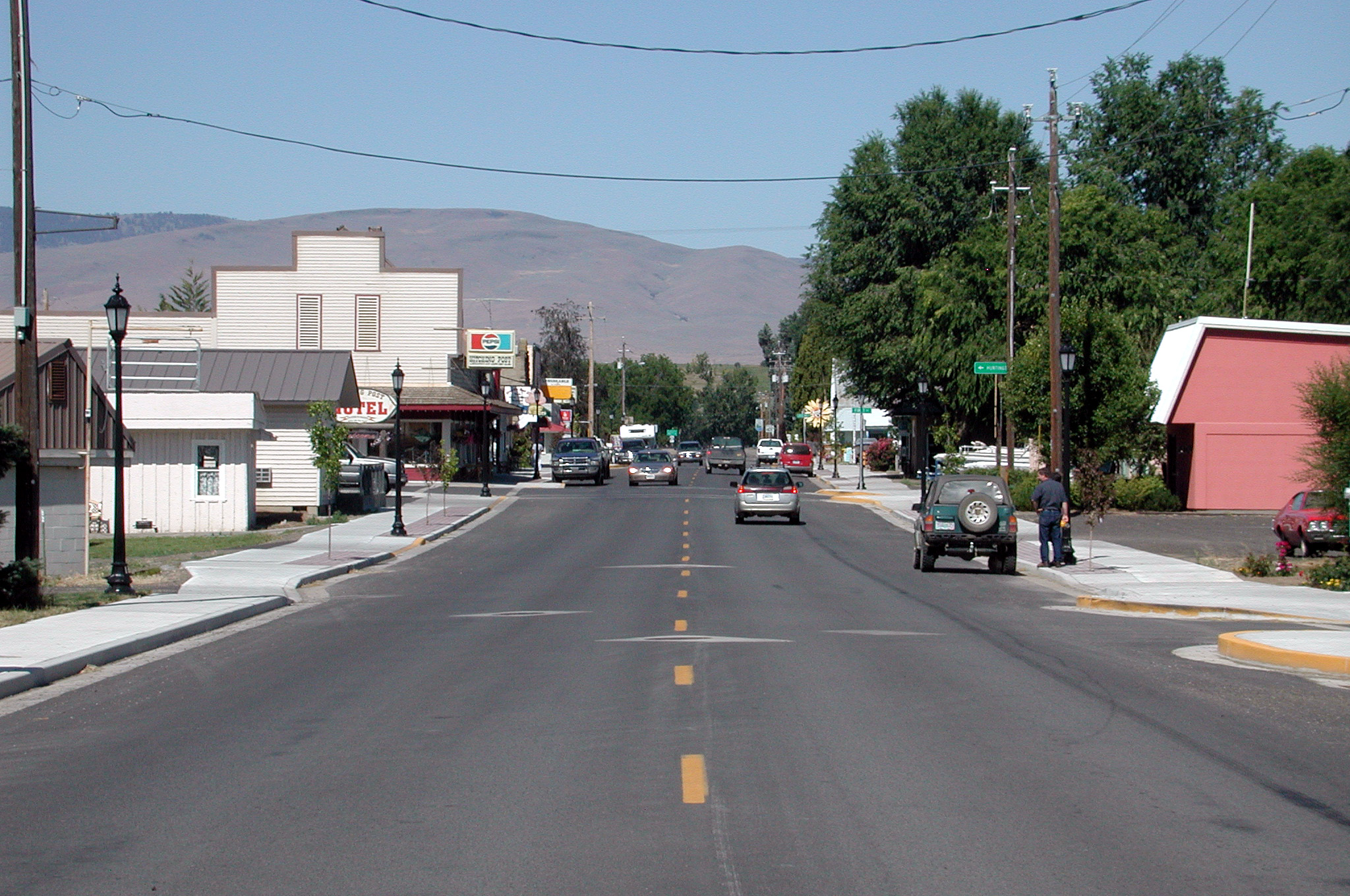
imagesize =
image_caption = Main Street
image_
image_
mapsize = 250px
map_caption = Location inOregon
mapsize1 =
map_caption1 =
subdivision_type = Country
subdivision_name =United States
subdivision_type1 = State
subdivision_name1 =Oregon
subdivision_type2 = County
subdivision_name2 = Baker
government_type =
leader_title =Mayor
leader_name = Nancy Gover
established_title = Incorporated
established_date = 1917
area_magnitude =
area_total_sq_mi = 0.1
area_total_km2 = 0.2
area_land_sq_mi = 0.1
area_land_km2 = 0.2
area_water_sq_mi = 0
area_water_km2 = 0
area_urban_sq_mi =
area_urban_km2 =
area_metro_sq_mi =
area_metro_km2 =
population_as_of = 2000
population_note =
population_total = 147
population_metro =
population_urban =
population_density_km2 = 709.5
population_density_sq_mi = 1849.1
timezone = Pacific
utc_offset = -8
timezone_DST = Pacific
utc_offset_DST = -7
latd = 44 |latm = 46 |lats = 7 |latNS = N
longd = 117 |longm = 10 |longs = 7 |longEW = W
elevation_m = 680.01
elevation_ft = 2231
website =
postal_code_type =ZIP code
postal_code = 97870
area_code = 541
blank_name = FIPS code
blank_info = 41-61700GR|2
blank1_name = GNIS feature ID
blank1_info = 1148423GR|3
footnotes =Richland is a city in Baker County,
Oregon ,United States . The population was 147 at the 2000 census.Geography
Richland is located at coor dms|44|46|7|N|117|10|7|W|city (44.768599, -117.168546)GR|1 along
Oregon Route 86 between Baker City and Oxbow on the Oregon–Idaho border.According to the
United States Census Bureau , the city has a total area of 0.1square mile s (0.2km² ), all of it land.Demographics
As of the
census GR|2 of 2000, there were 147 people, 86 households, and 41 families residing in the city. Thepopulation density was 1,849.1 people per square mile (709.5/km²). There were 121 housing units at an average density of 1,522.0/sq mi (584.0/km²). The racial makeup of the city was 97.28% White, 0.68% Native American, 0.68% Asian, and 1.36% from two or more races. Hispanic or Latino of any race were 0.68% of the population.There were 86 households out of which 7.0% had children under the age of 18 living with them, 41.9% were married couples living together, 5.8% had a female householder with no husband present, and 51.2% were non-families. 45.3% of all households were made up of individuals and 29.1% had someone living alone who was 65 years of age or older. The average household size was 1.71 and the average family size was 2.31.
In the city the population was spread out with 8.2% under the age of 18, 1.4% from 18 to 24, 8.8% from 25 to 44, 35.4% from 45 to 64, and 46.3% who were 65 years of age or older. The median age was 63 years. For every 100 females there were 93.4 males. For every 100 females age 18 and over, there were 98.5 males.
The median income for a household in the city was $17,344, and the median income for a family was $27,500. Males had a median income of $25,000 versus $19,688 for females. The
per capita income for the city was $13,462. There were 11.4% of families and 18.4% of the population living below thepoverty line , including 37.5% of under eighteens and 13.0% of those over 64.References
External links
* [http://bluebook.state.or.us/local/cities/lr/richland.htm Oregon Blue Book listing for Richland]
Wikimedia Foundation. 2010.