- Magny-Châtelard
-
Magny-Châtelard

 Magny-ChâtelardLocation within Franche-Comté region
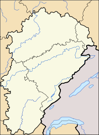 Magny-Châtelard
Administration Country France Region Franche-Comté Department Doubs Arrondissement Besançon Canton Vercel-Villedieu-le-Camp Intercommunality Pays de Pierrefontaine-Vercel Mayor Geneviève Colin
(2008–2014)Statistics Elevation 450–610 m (1,480–2,000 ft) Land area1 4.20 km2 (1.62 sq mi) Population2 33 (2008) - Density 8 /km2 (21 /sq mi) INSEE/Postal code 25355/ 25360 1 French Land Register data, which excludes lakes, ponds, glaciers > 1 km² (0.386 sq mi or 247 acres) and river estuaries. 2 Population without double counting: residents of multiple communes (e.g., students and military personnel) only counted once. Coordinates: 47°13′40″N 6°19′20″E / 47.2277777778°N 6.32222222222°E
Magny-Châtelard is a commune in the Doubs department in the Franche-Comté region in eastern France.
Contents
Geography
The commune lies 12 km (7.5 mi) west of Vercel on the first plateau of the Jura mountains in a little valley.
Population
Historical population of Magny-Châtelard 1962 1968 1975 1982 1990 1999 2008 42 44 31 25 20 19 33 See also
References
External links
Categories:- Communes of Doubs
- Doubs geography stubs


Wikimedia Foundation. 2010.